Starting point: Zagrad (757 m)
| Latitude/Longitude: | 45,50584°N 14,05705°E |
| |
Walking time: 1 h 30 min
Difficulty: easy marked way
Elevation gain: 196 m
Elevation difference along the route: 265 m
Map: Slovenska Istra - Čičarija, Brkini in Kras 1:50.000
Recommended equipment (summer):
Recommended equipment (winter): ice axe, crampons
Views: 4.269
 | 1 person like this post |
Access to starting point:
From the Ljubljana - Koper motorway we turn at the Kozina exit and follow the road onwards in the direction of Reka. We drive to the settlement Obrov, where signs for Golac direct us right onto a narrower road. This is followed by a 4 km drive to the settlement Golac, from where we continue following signs for the settlement Zagrad, which is a little more than 1 km away. In Zagrad there are no designated parking spaces, but it is possible to park on some widening on the outskirts of the settlement.
It is more advisable to park already in Golac, which however extends our walk by approximately 15 minutes.
Route description:
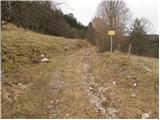
From the marked junction in the settlement Zagrad we continue on the right road, along which there are signs for Velika vrata, Slavnik and Mala and Velika Plešivica (left Ostrič). The path initially leads us past a few houses, then we ascend transversely into the forest, where the poorer road makes some switchbacks, and we ascend along it to the turning area (along the road there are still some parking possibilities, but the road is quite poor), where the markings lead us left onto a clearing, from there we continue upwards along the cart track. In the continuation follows an ascent first along the western slopes of the peak Čičer, higher up along the north-western slopes we reach a marked junction.
We continue right in the direction of Mala and Velika Plešivica (left Razsušica, Medvižica and Ostrič) and along it we first ascend moderately through dense forest. In the continuation the at times poorly visible path then begins to descend more steeply and from the right a somewhat shorter path joins us, which leads along an unmarked cart track. We follow the path left towards Slavnik (inscription on the rock) and in a few minutes we ascend to the pass or saddle between Lipica on the left and Liskovica on the right.
Again follows some descent, when the path levels out we quickly reach a forest road, which we reach exactly at its end or turning area. We continue right, from the road we soon turn left onto a marked cart track, which ascends through a strip of forest. Along the cart track we walk a few dozen meters, when it turns left, we head straight onto an initially poorly visible trail, along which the markings continue. In the continuation we ascend through increasingly sparse forest, which is replaced by sparse shrubbery and individual smaller pines and junipers. There follows a few more minutes of increasingly scenic walking and we arrive at the scenic summit of Mala Plešivica.
Zagrad - junction Kičer 0:45, junction Kičer - Mala Plešivica 0:45.

Along the route: Razpotje Kičer (924m)
Photos:
 1
1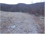 2
2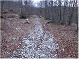 3
3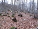 4
4 5
5 6
6 7
7 8
8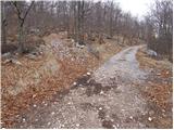 9
9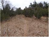 10
10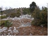 11
11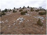 12
12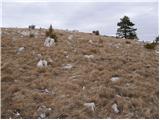 13
13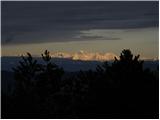 14
14 15
15
Discussion about the trip Zagrad - Mala Plešivica
To post a comment you must log in:
If you do not yet have a username, you must first
register.