Završje Podbelsko - Čevo (Tafrina staza)
Starting point: Završje Podbelsko (195 m)
Route name: Tafrina staza
Walking time: 1 h
Difficulty: easy unmarked way
Elevation gain: 367 m
Elevation difference along the route: 367 m
Map:
Recommended equipment (summer):
Recommended equipment (winter): ice axe, crampons
Views: 2.084
 | 1 person like this post |
Access to starting point:
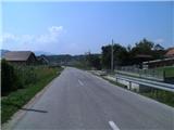
From Varaždin we drive on the old road towards Zagreb. In the village Turčin we will see a signpost for Tužno-Ivanec just before the ascent. Here we go right and drive through the villages Tomaševec (railway line!), Doljan, Žigrovec and then arrive in the village Sveti Ilija. Here we will turn left uphill in the direction of Beletinec (Attention! Straight ahead is the settlement Beretinec). From the hill behind the village Sveti Ilija we descend and continue straight to the village Beletinec, where at the end of the village we will again turn in the direction of Završje Podbelsko. Next follows driving through the village Filipići and we are already in Završje, where we will notice tourist signposts. We drive onto a poorer road and park at its beginning, or we drive a little further and park by a small chapel (since Čevo is quite visited, the limited parking lot is often occupied).
Route description:
From the starting point, we go over a small bridge on the river Bednja and turn right towards the west, where the path leads us past an interesting spring that flows into the river Bednja (when we return from the trip, or already at the beginning, it is a pleasant refreshment).
We continue on a poorer cart track, which quickly splits into two parts, where we go slightly right (left logically seems so, but it joins ours higher up). We continue along the river, a little further past the hunting observatory. The path ahead leads us through a short stretch of forest, then we quickly arrive at a junction where another path from the settlement Završje Podbelsko joins us. At the unmarked junction, straight ahead we will notice a solitary hut, right the part of the railing of the bridge over Bednja. We continue left towards the south, where we quickly arrive in the forest, where there is a cart track that we usually walk on quite muddy. After approximately two minutes we leave the cart track and continue uphill on a quite steep path that leads us along the western slope of Čevo. During the ascent on this steep section we will notice some old faded blazes, the path higher flattens, the forest thins. Further on, the path becomes steeper again, and higher we join the "right" marked path that leads to Čevo.
On the marked path we walk approximately 5 minutes, when the path flattens we arrive at a well-visible junction, from which we continue on an unmarked path.
We continue on a well-trodden unmarked path that continues along the ridge of Čevo. The path ahead leads us through low forest, higher also through somewhat rockier terrain, where the path leads us past a natural window. At the nearby viewpoint Balkon we return to the marked path, from where there is a nice view to the north (nearby there is a small bivouac whose interior is locked, under the shelter we can take cover in case of rain). From here to the summit we have a few minutes of easy path.
There is no view from the summit due to the forest, but the summit has a stamp, the logbook is now at the viewpoint Malo Čevo.
The path is named after "Tafru", who was the first to run the path in less than 30 minutes.
The path is orientationally somewhat more demanding in the lower part.

Photos:
 1
1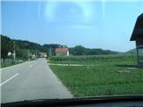 2
2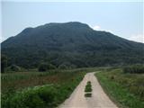 3
3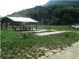 4
4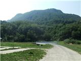 5
5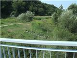 6
6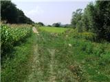 7
7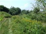 8
8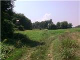 9
9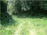 10
10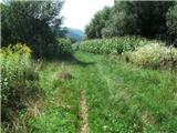 11
11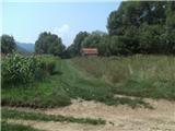 12
12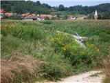 13
13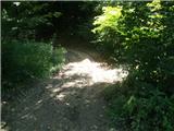 14
14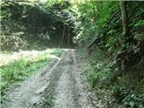 15
15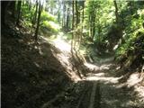 16
16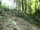 17
17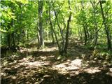 18
18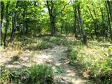 19
19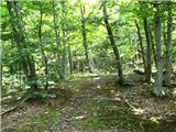 20
20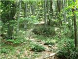 21
21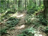 22
22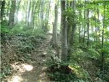 23
23 24
24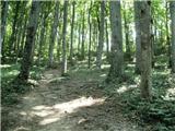 25
25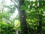 26
26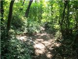 27
27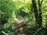 28
28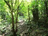 29
29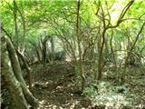 30
30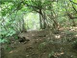 31
31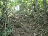 32
32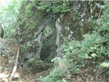 33
33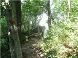 34
34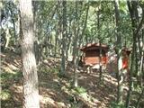 35
35 36
36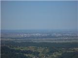 37
37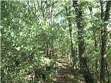 38
38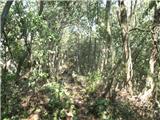 39
39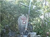 40
40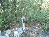 41
41
Discussion about the trip Završje Podbelsko - Čevo (Tafrina staza)
To post a comment you must log in:
If you do not yet have a username, you must first
register.