Zgornja Kungota - Plački vrh
Starting point: Zgornja Kungota (299 m)
| Latitude/Longitude: | 46,63858°N 15,61185°E |
| |
Walking time: 2 h 40 min
Difficulty: easy marked way
Elevation gain: 211 m
Elevation difference along the route: 475 m
Map:
Recommended equipment (summer):
Recommended equipment (winter): ice axe, crampons
Views: 483
 | 1 person like this post |
Access to starting point:
We drive to the Pesnica roundabout and take the exit for Lenart. We quickly leave the road towards Lenart in the Slovenske gorice and continue right in the direction of Zgornja Kungota and Dolnje Počehove, and even before driving onto the expressway we turn right again in the direction of Zgornja Kungota. We then drive along the main road to Zgornja Kungota, where in the middle of the settlement we turn right uphill towards the cemetery, where we park.
Route description:
From the parking lot at the cemetery we continue on the road towards the nearby church of St. Kunigunda, where the first blazes appear.
Here to the left downwards a marked path branches off towards Sveti Urban, and we continue right and follow the asphalt road. On the road we first ascend, and from the path a view opens up towards Zgornja Kungota and higher Plački vrh, higher we temporarily descend a little, and the path leads us past occasional houses. There follow a few smaller crossroads, where we follow the blazes, then with views that temporarily reach to Golica / Koralpe we arrive at indistinct Čajžič, where there is a stamp box.
From the stamp box we continue briefly on the asphalt road, then the blazes direct us right downwards onto a cart track, which lower joins a macadam road, which we follow to the right. Further among vineyards the road turns left downwards, and we continue straight on the cart track, which first rises a little and leads us past a bench located on a nice panoramic spot. From the bench there follows some more ascent, then we descend to another macadam road, which we follow to the left.
On the macadam road we do not walk long and soon arrive at an asphalt road, where we turn right, some 10 m further we go right again, so we begin descending towards the center of Svečina. We continue through the center of the settlement, when behind the church we reach another road we go right. On or beside the road we walk to the nearby bus stop, where we go left onto a marked path that ascends across a meadow, when we reach a narrower asphalt road we follow it to the left, on it we ascend with nice views on Svečinske gorice. Higher the path forks, and we can continue straight past the farm, where there is a control stamp, or go right already before the farm. Behind the farm both paths join and we arrive at a smaller ridge, where we go left (right Kopica (423 m) - 5 minutes). There follows a slight ascent, then the road begins to descend, still at the beginning of the descent we go left from the road onto a macadam road, from which further temporarily a view opens onto Plački vrh. To Pesjak (433 m) some ascent follows, then we mostly descend, below Svečinski vrh the path turns right and briefly we cross the slopes to the right, before the Vrezner farm the path forks again.
We continue straight, also possible right downwards past the mentioned farm, lower both paths join, and we continue towards Plački vrh.
The path ahead leads us on a grassy cart track, when we arrive in the forest the path forks once more. We continue right on the overgrown marked path (slightly left border panoramic path), which lower brings us to the farm (to here also possible if we first continue on the panoramic path and from the place where the border panoramic path turns left, continue straight), behind the farm at the junction we take the left cart track, which ascends beside the field. Higher we reach an asphalt road, which we follow to the right, on it we begin to ascend, when higher we reach a somewhat wider road we go right, a little further left onto the road leading towards Plački vrh. There follow a few minutes of steeper ascent with occasional nice views, at the right bend the border panoramic path joins us again. We continue on the asphalt road to the left bend, from which we go straight onto the path that ascends on steps through the forest, when we leave the forest we already reach Plački vrh, where there is a 28 m high lookout tower.
Zgornja Kungota - Čajžič 0:35, Čajžič - Svečina 0:30, Svečina - Plački vrh 1:35.
Description and pictures refer to the condition in August 2022.

Photos:
 1
1 2
2 3
3 4
4 5
5 6
6 7
7 8
8 9
9 10
10 11
11 12
12 13
13 14
14 15
15 16
16 17
17 18
18 19
19 20
20 21
21 22
22 23
23 24
24 25
25 26
26 27
27 28
28 29
29 30
30 31
31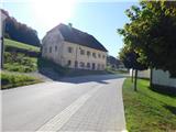 32
32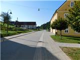 33
33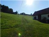 34
34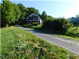 35
35 36
36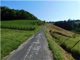 37
37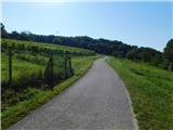 38
38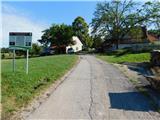 39
39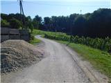 40
40 41
41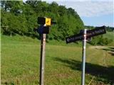 42
42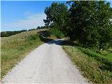 43
43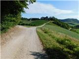 44
44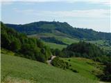 45
45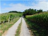 46
46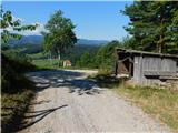 47
47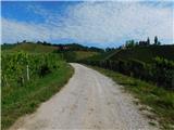 48
48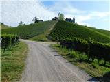 49
49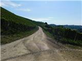 50
50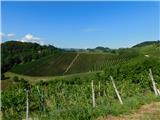 51
51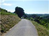 52
52 53
53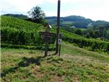 54
54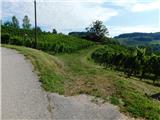 55
55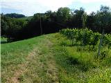 56
56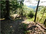 57
57 58
58 59
59 60
60 61
61 62
62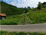 63
63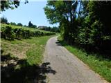 64
64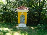 65
65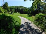 66
66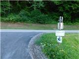 67
67 68
68 69
69 70
70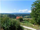 71
71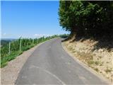 72
72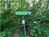 73
73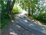 74
74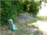 75
75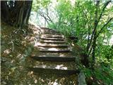 76
76 77
77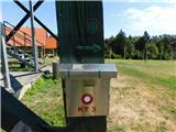 78
78 79
79
Discussion about the trip Zgornja Kungota - Plački vrh
To post a comment you must log in:
If you do not yet have a username, you must first
register.