Grahovo - Slivnica (mimo sv. Miklavža)
Starting point: Grahovo (570 m)
| Latitude/Longitude: | 45,77048°N 14,42410°E |
| |
Route name: mimo sv. Miklavža
Walking time: 1 h 35 min
Difficulty: easy marked way
Elevation gain: 544 m
Elevation difference along the route: 544 m
Map: Snežnik 1:50.000
Recommended equipment (summer):
Recommended equipment (winter): ice axe, crampons
Views: 38
 | 1 person like this post |
Access to starting point:
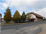
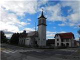
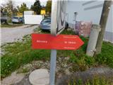
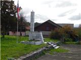
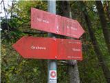
From the Ljubljana - Koper motorway we take the Unec exit and continue on the road towards Cerknica. From Cerknica we continue on the main road towards Bloke and Lož, then in the village of Grahovo, at the memorial park and next to the Baza bar, we notice hiking direction signs indicating the start of the path to Slivnica. We park at one of the nearby parking lots, or we can drive onto the side road following the Slivnica signs and drive through the settlement and along the meadow to one of the parking lots in the forest. This shortens our walk by approximately 15 minutes.
Route description:
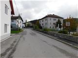
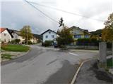
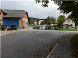
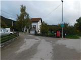
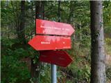
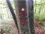
From the center of the settlement Grahovo we turn onto the side road marked for Slivnica, initially passing the memorial park. We continue through the denser part of the settlement, following the markings at a few intersections.
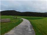
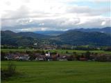
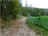
When the settlement ends, we continue across a large meadow, then the road turns into a forest where we reach an intersection by a chapel.
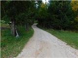
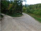
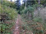
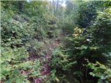
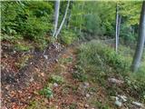
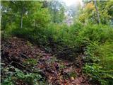
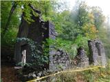
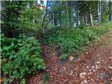
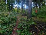
We continue towards Slivnica past sv. Miklavž, initially walking on a gentle cart track that soon turns into a forest. In the forest the path gradually begins to ascend somewhat more steeply, then past the spring of sv. Miklavž it leads us to the ruins of the church of sv. Miklavž.
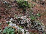
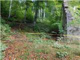
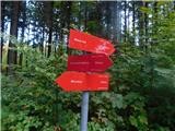
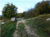
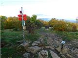
We bypass the ruins on the left side, then reach a cart track which we follow right uphill, soon turning left from it onto a path that quickly ascends to the Jelovci saddle, where we join the path from the starting point in the settlement Radlek or Novi vas.
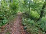
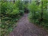
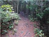
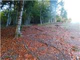
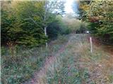
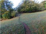
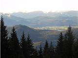
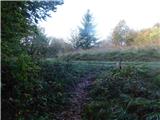
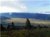
We continue left towards Slivnica, initially walking on a cart track, then on a well-trodden mountain path that higher up crosses a pasture fence. Higher up there is still some ascent through the forest, then we reach a wider cart track on which we quickly arrive below the summit of Slivnica. Only a short ascent remains and we reach the 1114 meter high summit.
Grahovo - Doli 0:15, Doli - sv. Miklavž 0:45, sv. Miklavž - Jelovci 0:05, Jelovci - Slivnica 0:30.
The description and photos refer to the situation in October 2026.

Photos:
 1
 2
 3
 4
 5
 6
 7
 8
 9
 10
 11
 12
 13
 14
 15
 16
 17
 18
 19
 20
 21
 22
 23
 24
 25
 26
 27
 28
 29
 30
 31
 32
 33
 34
 35
 36
 37
 38
Discussion about the trip Grahovo - Slivnica (mimo sv. Miklavža)
To post a comment you must log in:
If you do not yet have a username, you must first
register.