Robanov kot - Mala Ojstrica (čez Jaruzale)
Starting point: Robanov kot (650 m)
| Latitude/Longitude: | 46,39480°N 14,70300°E |
| |
Route name: čez Jaruzale
Walking time: 4 h 45 min
Difficulty: very difficult marked way
Elevation gain: 1367 m
Elevation difference along the route: 1400 m
Map:
Recommended equipment (summer): helmet
Recommended equipment (winter): helmet, ice axe, crampons
Views: 101
 | 1 person like this post |
Access to starting point:
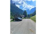
a) From the direction of Kamnik or Mozirje (via Luče): Over the Volovljek pass (Kranjski Rak) or from Mozirje we drive to Luče, then continue driving towards Solčava and Logarska dolina. When we arrive in the settlement Robanov Kot, signs for the alpine valley Robanov kot direct us left onto a side road. We drive along it to the arranged parking lot near the Roban farm, where we park. We can also park about 500 meters lower at the first arranged parking lot. Parking at the private parking lot of the Govc-Vršnik guesthouse is prohibited, as this area is reserved exclusively for guests of the guesthouse.
b) From the Maribor–Ljubljana motorway: We exit the Maribor–Ljubljana motorway at the Šentrupert exit and drive towards Mozirje and Logarska dolina. When we reach Luče, we continue driving according to the description above.
Route description:
From the Roban farmstead we continue along the bottom of Robanov kot on a comfortable cart track. Along the way we soon reach Robanova planina, where the first spring is located, and a little further Robanova planšarija, next to which another spring is arranged. Up to this point the path is gentle and represents exceptionally beautiful and undemanding walking.
From Robanova planšarija the path turns into the forest and begins to ascend moderately. While walking we cross three dry torrent beds, then the path leads us directly below the waterfall from under Velika Zelenica. Many excursionists and walkers at this point also conclude their tour of Robanov kot.
From the waterfall onwards the path becomes technically considerably more demanding. With the help of some stemples and cables we quickly ascend to the ridge or back above the waterfall. A steep ascent through the forest follows, occasionally equipped with safeguards and including some technically more demanding sections. The ground underfoot becomes increasingly gravelly, and the path alternates between steep sections, switchbacks and shorter gentle parts. As we progress, the forest becomes increasingly sparse, low and airy.
Approximately a good half hour's walk above the waterfall the path leads us to a small cirque, where we are roughly halfway along our route. The cirque is an excellent place for a short rest, as the path becomes very demanding further on. From the cirque we get a view of the neighbouring Robanov stan, which lies under the mighty rock face of the neighbouring Ut.
From the cirque a steep ascent follows with the help of stemples, pitons and cables, leading us to a very exposed section of the path. On the technically most difficult part, where we cross an overhanging rock with the help of stemples and cables, a memorial plaque to a deceased mountaineer is also attached.
After this exposed section our path turns right under another overhanging wall, then enters a gully where we ascend steeply with the help of safeguards. Although it initially seems that the path will run through the gully the whole time, after a few metres of ascent it turns to the right side and with the help of aids ascends steeply across the slope.
We reach the next right turn. Along the cable we reach a shorter, less demanding section of the path, where we may have some orientation difficulties. The rocks are quite smooth, and if the sun shines directly into our eyes, we can quickly miss the markings. At this point we step onto a poorly visible, unofficial junction. If we look left upwards, we will notice one of the two natural windows in the slope of Žvižgovec. We continue right along the marked path.
Further on we reach what the author considers the technically most difficult part of the path. Here we turn left and first ascend over a rock where relatively few pitons are installed, then continue through a natural gully. A few more cables guide us along the gully. When we see the second memorial plaque to a deceased mountaineer, we know we are at the last cable on the path.
There follows the final, very steep but technically undemanding ascent to the saddle. During this ascent we pass one characteristic larger rock and a solitary larch.
From the saddle our path finally levels out and leads us through dwarf pine. On our left side rises the peak Žvižgovec, in whose slope we can also observe another natural window.
After a short walk through dwarf pine the path begins to descend. After a minute of descent we reach a junction, where we continue right. Only a few minutes of easy walking separate us from the final destination, where we reach the chapel or shelter. Orientation in this final section is completely simple, as the structure is visible already from the junction onwards.
From the shelter we return to the last junction, then turn onto the path towards Ojstrica and Kocbekov dom, where we first ascend the slopes of Mala Ojstrica, then reach a small valley where we join the path with the starting point at planina Podvežak. Here we go right and in a few minutes ascend to Sedelce, from where a beautiful view opens towards Lučki Dedec and Korošica, an exceptional grassy valley in the midst of mighty mountains.
Here we go right towards Ojstrica (slightly left a poorer track towards Prag, straight down Kocbekov dom na Korošici), where the path first descends gently across a pleasant grassy slope, then turns right, where it begins to ascend transversely towards the east. After a short ascent the path leads us to the ridge of Mala Ojstrica (here an unmarked path from Molička planina joins from the right), where it turns sharply left and continues ascending along a very scenic ridge. The path that continues ascending on the left side of the ridge leads us in a few further minutes of walking below the indistinct summit of Mala Ojstrica, which we recognise by the miniature Aljažev stolp. When we step just below the summit of Mala Ojstrica, we leave the marked path that leads to Ojstrica and continue right along a steep path, by which in less than a minute of further walking we ascend to the summit of Mala Ojstrica.
Robanov kot - Molička planina 3:30, Molička planina - Mala Ojstrica 1:15.

Photos:
 1
1 2
2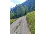 3
3 4
4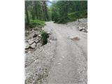 5
5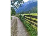 6
6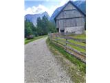 7
7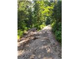 8
8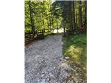 9
9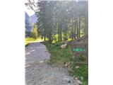 10
10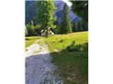 11
11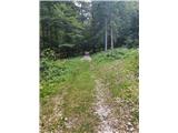 12
12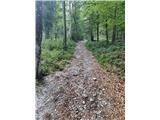 13
13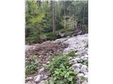 14
14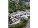 15
15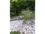 16
16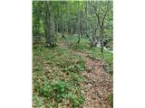 17
17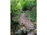 18
18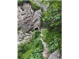 19
19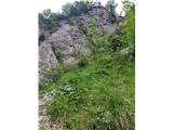 20
20 21
21 22
22 23
23 24
24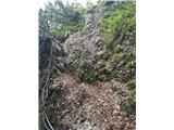 25
25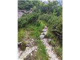 26
26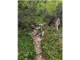 27
27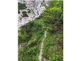 28
28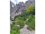 29
29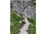 30
30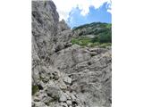 31
31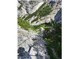 32
32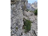 33
33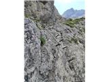 34
34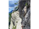 35
35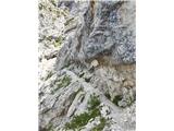 36
36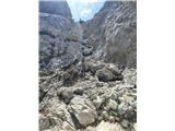 37
37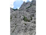 38
38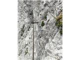 39
39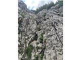 40
40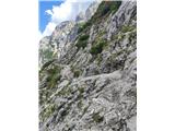 41
41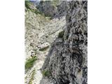 42
42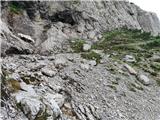 43
43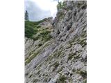 44
44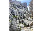 45
45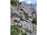 46
46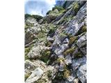 47
47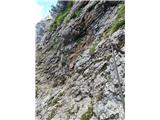 48
48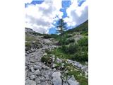 49
49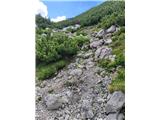 50
50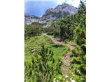 51
51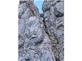 52
52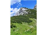 53
53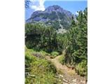 54
54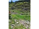 55
55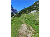 56
56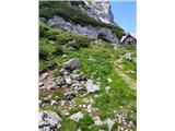 57
57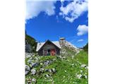 58
58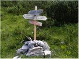 59
59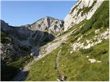 60
60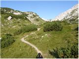 61
61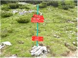 62
62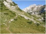 63
63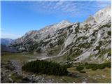 64
64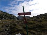 65
65 66
66 67
67 68
68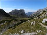 69
69 70
70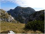 71
71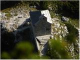 72
72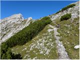 73
73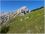 74
74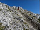 75
75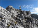 76
76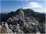 77
77
Discussion about the trip Robanov kot - Mala Ojstrica (čez Jaruzale)
To post a comment you must log in:
If you do not yet have a username, you must first
register.