Planina Podvežak - Ojstrica (Kocbekova pot, via Molička planina)
Starting point: Planina Podvežak (1500 m)
| Latitude/Longitude: | 46,33190°N 14,67260°E |
| |
Route name: Kocbekova pot, via Molička planina
Walking time: 3 h 45 min
Difficulty: difficult marked way
Elevation gain: 850 m
Elevation difference along the route: 980 m
Map: Kamniške in Savinjske Alpe 1:50.000
Recommended equipment (summer): helmet
Recommended equipment (winter): helmet, ice axe, crampons
Views: 133
 | 2 people like this post |
Access to starting point:
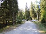
a) First we drive to Luče, then continue driving into the Podvolovjek valley (direction Kamnik and Kranjski Rak). At the road marking between 11 and 11.5 km we will come to a smaller junction where a road branches off to the right towards the farmer Planinšek and the pastures Podvežak, Ravne and Vodole (the turn-off is marked). We take this initially still asphalt road and follow it at the junctions in the direction of Planina Podvežak. After a relatively long and in the upper part also poorer gravel road we arrive at the parking lot below Planina Podvežak (at the starting point there is a barrier and numerous mountain signs).
b) From Kamnik we drive towards the Črnivec pass, but only to the junction where a road branches off sharply to the left towards Kranjski Rak (the turn-off is marked and is located only 500 m before the mentioned pass). At the junction near Kranjski Rak we continue straight on the main road, which begins to descend into the Podvolovjek valley. In the mentioned valley, only 100 m after the Gams bar, we come to a junction where a road branches off to the left towards the farmer Planinšek and the pastures Podvežak, Ravne and Vodole (the turn-off is marked). Further we follow the above description.
Route description:
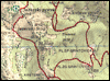
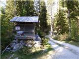
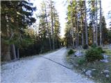
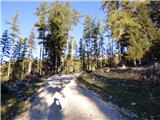
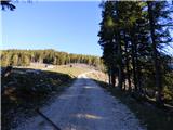
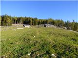
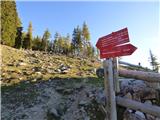
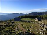
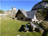
From the parking lot we head onto the footpath (or road) in the direction of Planina Podvežak. Both the road and the footpath, which crosses a forest road during the ascent, bring us in 15 minutes of moderate ascent to the shepherd's hut on Planina Podvežak, from which a nice view opens towards Rogatec and Lepenatka.
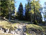
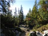
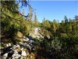
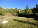
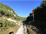
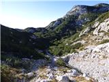
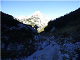
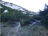
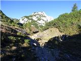
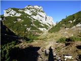
From the pasture we continue on the marked, but initially less visible path, which soon enters the forest. The path through the forest climbs a bit steeper, then transitions into a smaller unvegetated little valley, above which it flattens completely. Follows a few-minute traverse of the slopes under the side ridge of Deska, then the path brings us to a less noticeable fork, where an unmarked path branches off to the left leading towards Deska and Vodotočno jezero. We continue straight on the marked path, which descends into a pleasant grassy flat, then turns slightly to the right and climbs through a belt of dwarf pine. At the top of the ascent the path from Planina Vodole joins us from the right, we continue left, cross the pasture fence and after a few further steps come to Inkretov studenec, which is located only a few meters from the path.
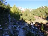
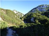
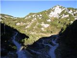
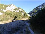
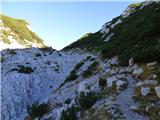
Follows only a gentle ascent, then the path flattens again and brings us under the relatively steep and in snow avalanche-dangerous slopes of Tolsti vrh. A bit further the pleasant path brings us to a marked fork, where we continue slightly right in the direction of the chapel on Molička peč (slightly left Korošica). The path further descends slightly, then continues in a moderate ascent over a series of several smaller little valleys. Soon we come to a smaller fork, where to the left a path branches off that returns to the marked path towards Korošica, to the right the path towards Planina Ravne and Dolga Trata. We continue straight on the wide and pleasant path, which after a few minutes of further walking brings us to the Prag pass, where there is the next fork.
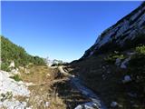
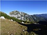
We continue slightly left (right Planina Ravne and Veliki vrh) on the marked mountain path, which gradually begins to descend. After a good 10 minutes of descent the path flattens and brings us to a smaller swamp, after which we come to the next fork. We continue straight (slightly left Korošica, right Robanov kot) on the pleasant mountain path, on which in a few minutes of further walking we arrive at Kocbekovo zavetišče under Ojstrica.
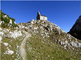
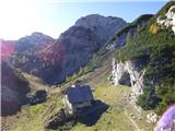
From the shelter we climb to the little church from where a nice view opens towards Krofička and down into Robanov kot. From the smaller saddle near the little church we continue left upwards on a somewhat less trodden path and soon we will notice markings in the form of red lines on the rocks. The path turns left again and after a shorter ascent brings us to a fork. Straight leads the path towards Korošica, we continue right where a large wooden signpost for Kocbekova pot directs us.
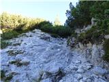
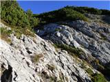
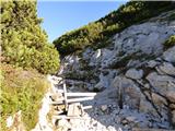
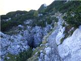
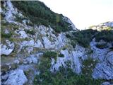
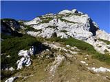
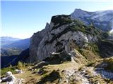
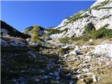
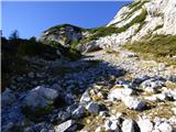
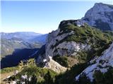
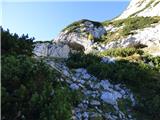
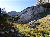
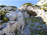
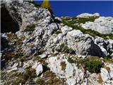
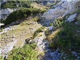
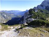
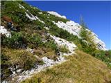
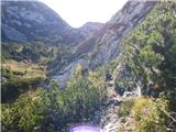
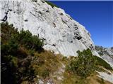
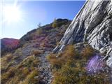
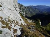
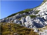
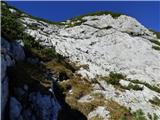
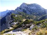
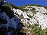
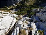
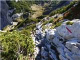
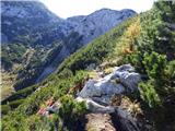
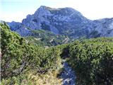
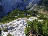
The path here turns right and bypasses a smaller cave or overhang on the right side. Here the path becomes more demanding and climbs up a steep slope beside some dwarf pine. Since the path is unprotected and somewhat less trodden, a bit more caution is needed. When the path flattens a bit, a traverse ascent to the left follows. The path here runs under a smooth wall and is initially grassy, then follows a shorter section on scree. The path then turns right and becomes more demanding again and climbs several times on the steep slope. Higher the path becomes somewhat less demanding and turns right. For some time we still climb on the increasingly panoramic path then we join the better trodden and officially marked path over Sedelce (1902 m).
The path from the fork climbs on the left side of the ridge and in a few further minutes of walking brings us under the inconspicuous peak of Mala Ojstrica, which we recognize by the miniature Aljaž tower (the ascent to Mala Ojstrica is only a minute from the path).
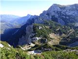
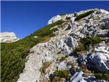
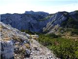
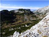
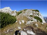
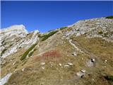
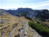
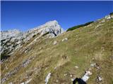
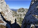
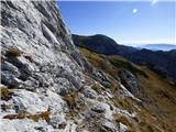
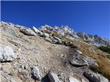
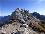
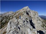
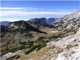
The marked path bypasses the mentioned peak on the left side and a little further brings us back to the ridge, where we traverse steep and slip-dangerous slopes. Further the path withdraws from the ridge to the left, crosses a short very steep slope, then runs out onto pleasant grassy slopes. After a few minutes of pleasant walking, we step into a short crumbly, but not too steep part of the path. Further the path flattens again, crosses another grassy slope, then in a moderate ascent that runs over an increasingly rocky slope brings us under the summit slope of Ojstrica. The path further begins to climb steeply on the dissected rock and starts to turn more and more to the left. Further the path flattens slightly, crosses very steep slopes, then with the help of pegs begins to climb steeply again. The path, which offers us numerous (mainly) natural holds, soon brings us under the fore-summit, from which follows a relatively difficult descent into the notch between both peaks. From the notch follows a short steep ascent on the crumbly slope and the increasingly panoramic path quickly brings us to the summit of Ojstrica.
Photos:
 1
 2
 3
 4
 5
 6
 7
 8
 9
 10
 11
 12
 13
 14
 15
 16
 17
 18
 19
 20
 21
 22
 23
 24
 25
 26
 27
 28
 29
 30
 31
 32
 33
 34
 35
 36
 37
 38
 39
 40
 41
 42
 43
 44
 45
 46
 47
 48
 49
 50
 51
 52
 53
 54
 55
 56
 57
 58
 59
 60
 61
 62
 63
 64
 65
 66
 67
 68
 69
 70
 71
 72
 73
 74
 75
 76
 77
 78
 79
 80
 81
 82
 83
 84
 85
 86
 87
 88
 89
 90
 91
 92
 93
 94
 95
 96
 97
 98
 99
 100
 101
 102
 103
 104
 105
 106
 107
 108
 109
 110
 111
 112
 113
 114
 115
 116
Discussion about the trip Planina Podvežak - Ojstrica (Kocbekova pot, via Molička planina)
To post a comment you must log in:
If you do not yet have a username, you must first
register.