Lučka Bela (Za Loncem) - Planjava (čez Škarje)
Starting point: Lučka Bela (Za Loncem) (1058 m)
| Latitude/Longitude: | 46,32888°N 14,65131°E |
| |
Route name: čez Škarje
Walking time: 5 h 35 min
Difficulty: difficult marked way
Elevation gain: 1334 m
Elevation difference along the route: 1550 m
Map: Kamniške in Savinjske Alpe 1:50.000
Recommended equipment (summer): helmet
Recommended equipment (winter): helmet, ice axe, crampons
Views: 67
 | 1 person like this post |
Access to starting point:
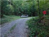
a) First we drive to Luče, then follow the signs for Podvolovljek and Kamnik. We continue driving on a somewhat narrower asphalt road. After about 6 km, the signs for Lučka Bela, Korošica and lake Vodotočnik direct us right onto a side asphalt road. We cross the Lučnica stream (on some maps this part of the stream is also called Brložnica), and when we reach the forest, the asphalt road towards the nearby homestead turns sharply left, while we continue straight onto a gravel road. On it we ascend another 5 km or to the right bend, where there are red mountain direction signs for Vodotočnik, Korošica, Ojstrica and Planjava. At the starting point we can park in a small unregulated parking area.
b) We drive to Kamnik, then follow the signs for Kamniška Bistrica and Črnivec pass. In Stahovica at the traffic-light intersection we continue straight and follow the road towards Črnivec pass. About 700 m before the pass we turn sharply left onto a side road, along which there are signs for Luče, Podvolovljek and Velika planina. A short transverse ascent follows to Volovljek pass (Kranjski Rak), then we begin a steeper descent towards Podvolovljek. When we reach the valley, we turn left towards Lučka Bela, Korošica and lake Vodotočnik onto a side asphalt road. We cross the Lučnica stream (on some maps this part of the stream is also called Brložnica), and when we reach the forest, the asphalt road towards the nearby homestead turns sharply left, while we continue straight onto a gravel road. On it we ascend another 5 km or to the right bend, where there are red mountain direction signs for Vodotočnik, Korošica, Ojstrica and Planjava. At the starting point we can park in a small unregulated parking area.
c) From the direction of Gornji Grad we drive to Črnivec pass, then begin descending towards Kamnik. After about 700 m of descent we turn right in the direction of signs for Luče, Podvolovljek and Velika planina. A short transverse ascent follows to Volovljek pass (Kranjski Rak), then we begin a steeper descent towards Podvolovljek. When we reach the valley, we turn left towards Lučka Bela, Korošica and lake Vodotočnik onto a side asphalt road. We cross the Lučnica stream (on some maps this part of the stream is also called Brložnica), and when we reach the forest, the asphalt road towards the nearby homestead turns sharply left, while we continue straight onto a gravel road. On it we ascend another 5 km or to the right bend, where there are red mountain direction signs for Vodotočnik, Korošica, Ojstrica and Planjava. At the starting point we can park in a small unregulated parking area.
Route description:
From the starting point we turn left onto the marked footpath, which begins to ascend through the forest and quickly brings us close to the bed of Lučka Bela. We continue ascending on the right side of the bed, where the path is interrupted in several places due to numerous fallen trees. Later we cross the stream bed and gradually begin a steep ascent through the forest on a path that is in places poorly maintained. Higher up we cross another gully, after which the path ascends transversely across a somewhat exposed slope. Here, especially on the descent, greater caution is needed so as not to slip on the path considerably eroded by erosion.
The continuation levels out completely for a few steps, then ascends even more steeply and passes onto a steep and especially in wet conditions slippery slope. When the path turns right, a short exposed traverse follows, where due to the narrow path there is a greater risk of slipping. After that we ascend steeply for a few more minutes, then the slope levels out somewhat. We gradually enter a belt of dwarf pine, where the path is overgrown with grass that is wet after rain and in morning dew. We ascend through the dwarf pine for a few minutes, then reach the small saddle Vratca, where the path splits.
We continue straight down in the direction of Vodotočnik and Korošica (to the right leads a well-trodden hunting path towards the hunting hut on Brežiči, which runs along the slopes of Deska and Lastovec) and in a few minutes descend to the grassy plain Stare stale, where the intermittent lake is located.
On the right, eastern edge of Stare stale there is a marked junction, from where we continue straight in the direction of Korošica (to the right leads a path marked with local signs to lake Vodotočnik). The path ahead ascends through a belt of dwarf pine and quickly brings us to a picturesque stream, which is considered one of the highest-lying streams in Slovenia. The path leads us left along the stream, then through belts of dwarf pine we reach a wider marked path that leads from lake Vodotočnik towards Korošica.
We follow the path left in the direction of Korošica (right Vodotočnik, Deska and Planina Podvežak) and through beautiful mountain scenery continue in a series of short ascents mostly towards the west. Soon an old path branches slightly to the left, which a little further joins the marked path Presedljaj–Korošica, while we follow the wider path, which continues ascending towards the northwest. Just before Prag the mentioned path from Presedljaj joins us from the left.
We continue following the signs for Korošica and with a beautiful view of Ojstrica and past the junction for Lučki Dedec reach the saddle Prag.
Here we continue straight down (slightly to the right an unmarked path branches off towards Sedelce – a shortcut in the direction of Ojstrica across Mala Ojstrica) towards the picturesque mountain plain Korošica. On its southwestern edge we can see the highest-lying football pitch in Slovenia, where traditionally every year in mid-August (on a Saturday around the feast of the great šmarna) a small-sided football tournament is held.
A few more minutes of moderate descent follow and we arrive at the western part of Korošica, where Kocbekov dom once stood. The hut completely burned down in 2017, and to this day (September 2026) reconstruction has not yet begun, but an emergency shelter in containers stands in the immediate vicinity.
At Kocbekov dom we go slightly right onto the path in the direction of Ojstrica and Škarje (left Planjava across Srebrno sedlo, right Ojstrica across Mala Ojstrica). A little further from the hut we enter a belt of dwarf pine, through which we begin to ascend ever more steeply. After about 20 minutes of ascent from Korošica the path levels out and passes onto grassy slopes, which quickly become quite rocky. We cross two consecutive gullies, then the path becomes steep again, and a little higher it splits.
We continue slightly left in the direction of Planjava (slightly right Ojstrica). The path ahead turns even more to the left, where we cross a fairly crumbly gully. After it we pass onto less steep slopes, where the path from Ojstrica joins us from the right, and then in a few minutes we ascend to the saddle Škarje. Here the path from Logarska dolina joins us, which leads past Koča na Klemenči jami.
We continue left in the direction of Planjava and Kamniško sedlo. The path ahead ascends steeply and moves to the left, southern side of the ridge.
In the continuation on the left side we bypass several peaks interesting for two-thousander collectors, such as Lučka Brana (Baba), Lučka Baba and Vilice, which are only a few minutes from the marked path. We continue following the marked path, which becomes more demanding again when it passes onto the slopes of Planjava. We overcome the more demanding section in a transverse ascent to the left, then reach the junction below the eastern summit of Planjava, where we turn right in the direction of the summit (left Srebrno sedlo, straight Kamniško sedlo). A few more minutes of ascent follow on an increasingly scenic slope, then we reach the eastern summit of Planjava, where the markings end.
Starting point - Stare stale 2:00, Stare stale - junction above Stare stale 0:25, junction above Stare stale - Prag 0:25, Prag - Kocbekov dom 0:15, Kocbekov dom - junction above Korošica 0:30, junction above Korošica - below Škarje saddle 0:15, below Škarje saddle - Škarje saddle 0:15, Škarje saddle - junction below Planjava summit 1:25, junction below Planjava summit - eastern summit of Planjava 0:05.

Along the route: Šibje (1210m), Vratca (1655m),
Stare stale (1634m), Razpotje nad Starimi stalami (1794m), Prag (1910m),
Kocbekov dom na Korošici (1808m), Razpotje nad Korošico (2001m), Pod sedlom Škarje (2074m), Sedlo Škarje (2132m), Razpotje pod vrhom Planjave (2336m)
Photos:
 1
1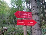 2
2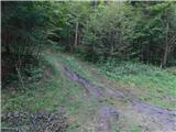 3
3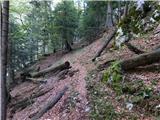 4
4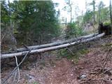 5
5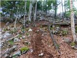 6
6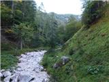 7
7 8
8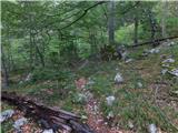 9
9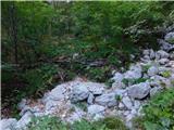 10
10 11
11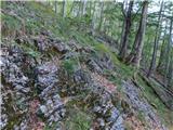 12
12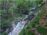 13
13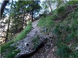 14
14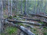 15
15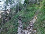 16
16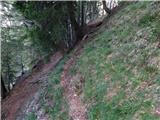 17
17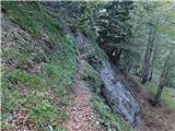 18
18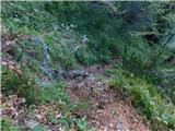 19
19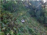 20
20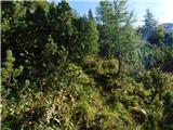 21
21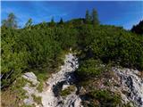 22
22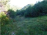 23
23 24
24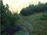 25
25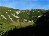 26
26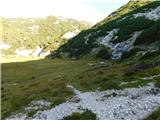 27
27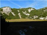 28
28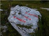 29
29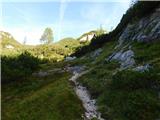 30
30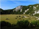 31
31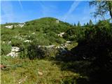 32
32 33
33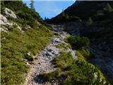 34
34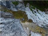 35
35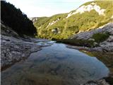 36
36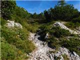 37
37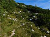 38
38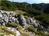 39
39 40
40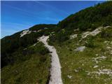 41
41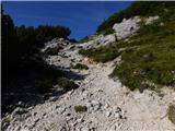 42
42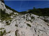 43
43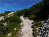 44
44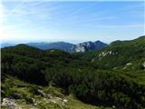 45
45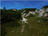 46
46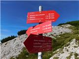 47
47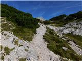 48
48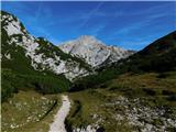 49
49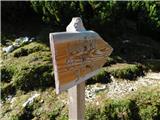 50
50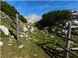 51
51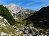 52
52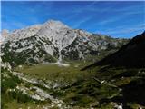 53
53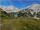 54
54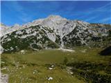 55
55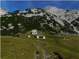 56
56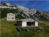 57
57 58
58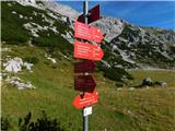 59
59 60
60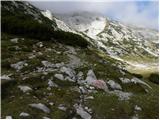 61
61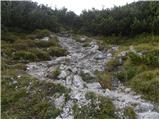 62
62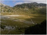 63
63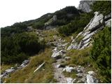 64
64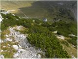 65
65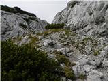 66
66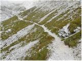 67
67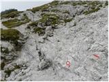 68
68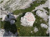 69
69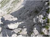 70
70 71
71 72
72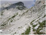 73
73 74
74 75
75 76
76 77
77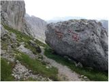 78
78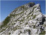 79
79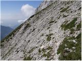 80
80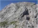 81
81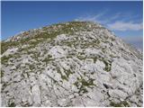 82
82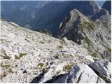 83
83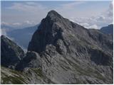 84
84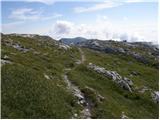 85
85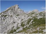 86
86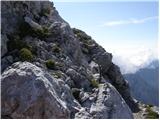 87
87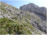 88
88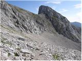 89
89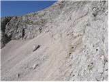 90
90 91
91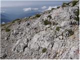 92
92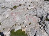 93
93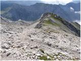 94
94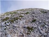 95
95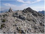 96
96
Discussion about the trip Lučka Bela (Za Loncem) - Planjava (čez Škarje)
To post a comment you must log in:
If you do not yet have a username, you must first
register.