Ljubotić (Sv. Ante) - Stapina (čez Zagon)
Starting point: Ljubotić (Sv. Ante) (260 m)
| Latitude/Longitude: | 44,36584°N 15,32355°E |
| |
Route name: čez Zagon
Walking time: 3 h 45 min
Difficulty: partly demanding marked way
Elevation gain: 865 m
Elevation difference along the route: 900 m
Map:
Recommended equipment (summer):
Recommended equipment (winter):
Views: 47
 | 1 person like this post |
Access to starting point:
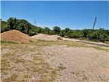
We leave the Adriatic Highway in the village of Tribanj, where shortly before the church we continue left towards Ljubotić; if coming from the direction of Zadar, we turn right after the church. The sign is not immediately visible. The steep, narrow and winding ascending road leads us through a barren slope. Soon the bends end and we ascend past several insignificant turn-offs to a marked junction, where we continue left, straight ahead to Mirile and the start of the path to Stap via Zagon. We park at the larger gravel parking lot by the church of Sv. Ante.
Route description:
From the parking lot we return to the road and continue towards Ljubotić. At the first junction we continue slightly left, then after a short ascent the markings direct us right onto a barely visible path to the enclosure. We follow the enclosure back to the road into the village of Ljubotić. Even if we continued along the road, we would reach the mentioned village. After the village the markings lead us onto a rather rocky path. At first we walk along a stone wall on the right side, then it begins to ascend over a rocky slope with low shrubs. The path here is somewhat ambiguous, so we carefully follow the markings. Slowly the path turns slightly left and ascends even more steeply. After about 45 minutes of walking we reach a road, which we follow to the right. After 15 minutes of walking on the ascending gravel road we reach a junction, and here we leave the road and turn left onto a rocky path. Through a short stretch of forest we again reach an area with low shrubs. The path is mostly rocky, with some grassy sections without stones. After a longer traverse ascent we reach the abandoned hamlet of Zagon, where several dilapidated huts stand. After Zagon follows another abandoned hamlet Jamina, then the path becomes very rocky for a short time and we must be careful not to step into any of the holes between the rocks. After this section the path crosses a small grassy field and at the end of the field the path becomes rocky again. After about 15 minutes of such walking on the slope of Klekova glavica (760 m) we reach an unmarked junction, where a rather overgrown path joins from the left, leading from the road Ljubotić - Bristovac. We recognize the junction by the cairn on a nearby rock. The path becomes somewhat less rocky. We cross the edge and descend into a small doline, from where we then ascend through the first denser forest. The path ascends slightly and also descends on the eastern slope of the nearby peak Splovak (705 m) and also crosses several passages between larger rocks. When the forest begins to thin, we are close to a junction, which we reach after a short ascent. Here a path from the village of Bristovac joins from the left, but we continue straight and soon reach dense forest. The path is laid between rocks and over smooth slabs. Later we walk through less rocky terrain through the forest, with numerous short descents into dolines and some easy rock sections. After 45 minutes of such walking we reach the marked turn-off for Vratarica and Stapina via Vratarica. The path becomes rocky again, soon we cross the edge and reach a large grassy field called Stap. After 15 minutes we reach a belt of low shrubs and a junction, next to which stands the bivouac Tatekova koliba. From the bivouac we continue right. Left Debeli Kuk, Panos and Jelova Ruja. The path begins to ascend through the forest. There are some rocky sections in between. After about 20 minutes we reach a junction, where we turn right. Straight ahead Visočica. The path soon leaves the dense beech forest and transitions to a grassy slope. A short steep ascent in a switchback awaits us, then we already see the monolithic rock of Stapina. We walk on a gentle path that again returns to a belt of forest. Then after a short ascent we reach a junction, where we continue right and in a few minutes we are at the registration box below Stapina. The summit is accessible only with appropriate alpine equipment and climbing knowledge. The description and photos refer to the situation in June 2026. The described route is more demanding in the summer months due to the open terrain and lack of shade, mainly because of high sun exposure. At higher temperatures it is therefore essential to carry a sufficient amount of liquid. The description and photos refer to the situation in June 2026.

Photos:
 1
1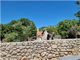 2
2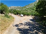 3
3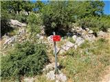 4
4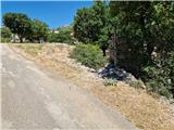 5
5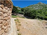 6
6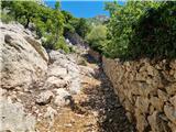 7
7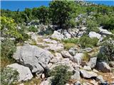 8
8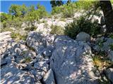 9
9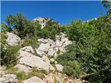 10
10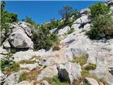 11
11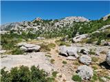 12
12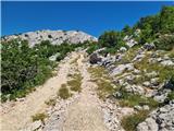 13
13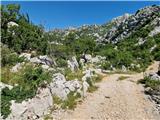 14
14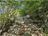 15
15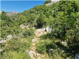 16
16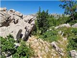 17
17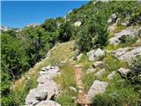 18
18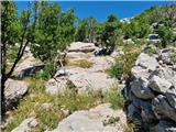 19
19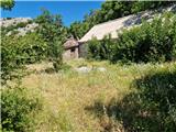 20
20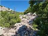 21
21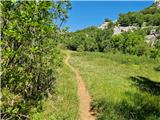 22
22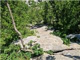 23
23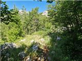 24
24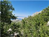 25
25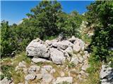 26
26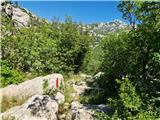 27
27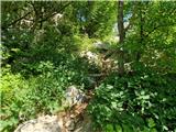 28
28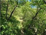 29
29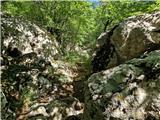 30
30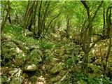 31
31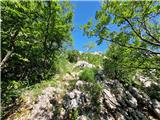 32
32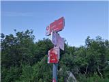 33
33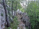 34
34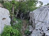 35
35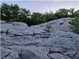 36
36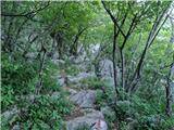 37
37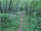 38
38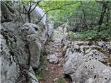 39
39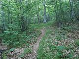 40
40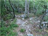 41
41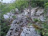 42
42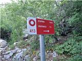 43
43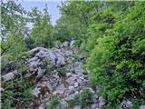 44
44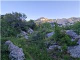 45
45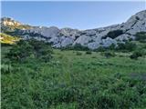 46
46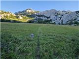 47
47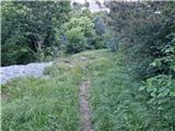 48
48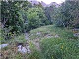 49
49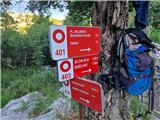 50
50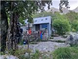 51
51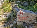 52
52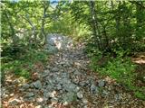 53
53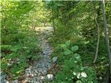 54
54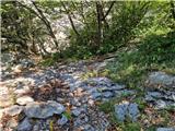 55
55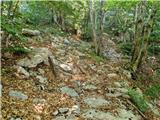 56
56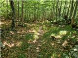 57
57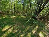 58
58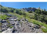 59
59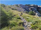 60
60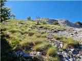 61
61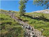 62
62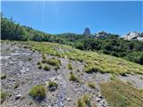 63
63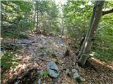 64
64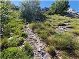 65
65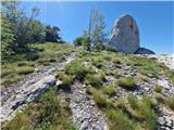 66
66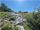 67
67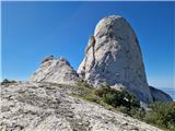 68
68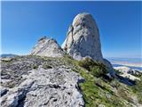 69
69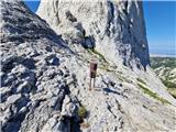 70
70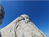 71
71
Discussion about the trip Ljubotić (Sv. Ante) - Stapina (čez Zagon)
To post a comment you must log in:
If you do not yet have a username, you must first
register.