Ljubnica - Golek (spodnja pot)
Starting point: Ljubnica (515 m)
| Latitude/Longitude: | 46,38388°N 15,34668°E |
| |
Route name: spodnja pot
Walking time: 1 h 15 min
Difficulty: easy marked way
Elevation gain: 254 m
Elevation difference along the route: 275 m
Map:
Recommended equipment (summer):
Recommended equipment (winter): ice axe, crampons
Views: 40
 | 1 person like this post |
Access to starting point:
From the road Vojnik - Slovenske Konjice, at the roundabout in the settlement Stranice, we take the exit for Zgornji Dolič and Vitanje.
Then in the settlement Lipa, more precisely opposite the bus stop, we turn sharply right onto a side road that quickly ascends above the village.
On this road we drive approximately 2 kilometers until the valley narrows into a gorge. Here, at the entrance to the forest, on the right side we notice a cart track that leads left from the nearby house and along which the upper marked path begins, but we drive another 30 meters or so to the second cart track, where the lower path also begins.
Warning: There are no suitable parking spaces at the starting point itself.
Instruction: There are no organized parking lots even in the immediate vicinity, so the vehicle must be parked lower in the settlement at a suitable place where we do not obstruct traffic, or we go to the starting point on foot, which lengthens the route.
Route description:
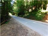
From the asphalt road we head onto the cart track that descends to the nearby stream. We carefully cross the stream, and on the other side markings appear. We continue along the upper cart track, which initially runs parallel to the stream, then gradually turns slightly to the right and begins to move away from the stream. Further on we ascend transversely to the left for some time, crossing the northern slopes of Golek. When we leave the forest, we ascend along the edge of a larger meadow to a gravel road, which we reach slightly above the nearby homestead Oprešnik.
After just a few steps we leave the road and go right onto a marked cart track that returns to the forest and continues ascending transversely to the left. Later the path levels out and we join the marked path from Zreče, namely the one that leads past the Rak farm or the path across Bork. The path ahead leads us along a cart track that ascends transversely, and a little further our path is crossed by a steep path to Golek. We continue straight, and the cart track a little further reaches a gravel road, along which we continue to the nearby marked junction.
From the junction we go right towards the summit of Golek (left downward leads the usual path to Zreče) and initially continue ascending through the forest. When we step to the edge of the meadow, the path brings us to a shelter with benches and tables located just below the summit. We continue along the edge of the forest, where a steep path joins from the right, and in a minute of further walking we reach the summit of Golek.
The description and photos refer to the situation in June 2022 and June 2026.

Photos:
 1
1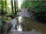 2
2 3
3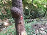 4
4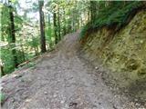 5
5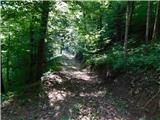 6
6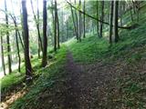 7
7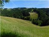 8
8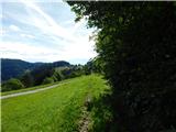 9
9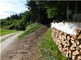 10
10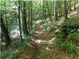 11
11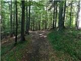 12
12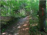 13
13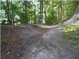 14
14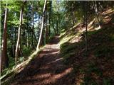 15
15 16
16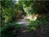 17
17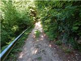 18
18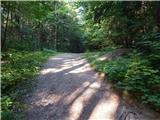 19
19 20
20 21
21 22
22 23
23 24
24 25
25 26
26
Discussion about the trip Ljubnica - Golek (spodnja pot)
To post a comment you must log in:
If you do not yet have a username, you must first
register.