Loška Gora - Grad Lušperk (razgledna pot)
Starting point: Loška Gora (436 m)
| Latitude/Longitude: | 46,38879°N 15,37421°E |
| |
Route name: razgledna pot
Walking time: 22 min
Difficulty: easy marked way
Elevation gain: 135 m
Elevation difference along the route: 135 m
Map: Planinski zemljevid Pohorje 1 : 50.000 (PZS)
Recommended equipment (summer):
Recommended equipment (winter): crampons
Views: 55
 | 1 person like this post |
Access to starting point:
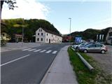
We drive to Zreče, then continue driving towards Rogla. When we arrive in the settlement Loška Gora, near the Gorska reka inn and the bridge over the Dravinja river, we park at a suitable and permitted place along the roadway (the inn parking lot is intended for guests). Here, at the information board for Grad Lušperk, the described path also begins.
Route description:
From the starting point at the Gorska reka inn, the signs for Grad Lušperk direct us left along the asphalt road, where we cross the bridge over the Dravinja river. Immediately after the bridge, at the large information board for Grad Lušperk, we turn right onto the access track. After a few meters we leave the track slightly to the left onto a clearly visible but rather steep path that begins to ascend towards the forest edge. We quickly cross the route under the power line and immediately after enter dense forest. In the forest we begin to ascend even more steeply across the slope, and higher up we reach a junction. At the junction we continue left in the direction of the viewpoint path (straight ahead is the ridge path), where we quickly leave the forest. This is followed by crossing a scenic meadow; near the cross located a few steps left of the path we reach another ridge, where we turn right and return to the forest. A short stretch of walking along the track follows, after which the markings direct us right onto a footpath that quickly ascends to the remains of Grad Lušperk.
The description and images refer to the situation in June 2026.

Photos:
 1
1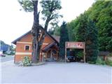 2
2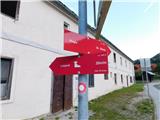 3
3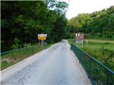 4
4 5
5 6
6 7
7 8
8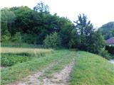 9
9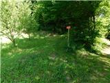 10
10 11
11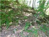 12
12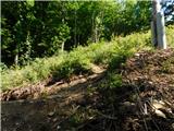 13
13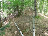 14
14 15
15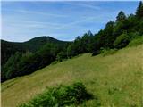 16
16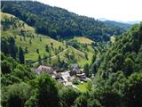 17
17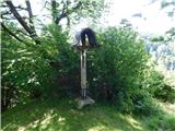 18
18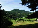 19
19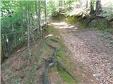 20
20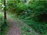 21
21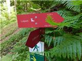 22
22 23
23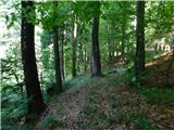 24
24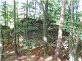 25
25
Discussion about the trip Loška Gora - Grad Lušperk (razgledna pot)
To post a comment you must log in:
If you do not yet have a username, you must first
register.