Starting point: Bela (210 m)
| Latitude/Longitude: | 46,20750°N 16,25330°E |
| |
Walking time: 1 h 45 min
Difficulty: easy marked way
Elevation gain: 352 m
Elevation difference along the route: 400 m
Map:
Recommended equipment (summer):
Recommended equipment (winter): ice axe, crampons
Views: 22
 | 1 person like this post |
Access to starting point:
From Varaždin, we drive along the old road towards Zagreb. In the settlement of Turčin, just before the start of the ascent, a sign for Tužno and Ivanec directs us right. We continue through the villages of Tomaševec (watch out when crossing the railway line), Doljan and Žigrovec until we reach the village of Sveti Ilija.
In Sveti Ilija, we turn left uphill towards the settlement of Beletinec (be careful not to continue straight towards Beretinec). When the road descends, we continue straight through Beletinec, and at the end of the village we turn again towards Završje Podbelsko. We drive through the villages of Filipići and Završje Podbelsko. At the end of the latter, we turn slightly left towards Novi Marof or Bela. When we arrive in the village of Bela, we park in a suitable place in the settlement.
Route description:
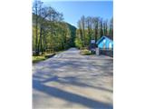
From the place where we parked, head south through the village Bela towards the ponds. Soon leave the asphalt road when you notice the forest track and information boards. Continue uphill and after a minute of walking spot the first markers and an arrow directing us sharply right onto the trail along the edge of the forest.
The path initially ascends gently to moderately. After about 20 minutes of walking, reach a junction where a path branches left uphill to the ruins of the fort Pusta Bela (5 minutes steep ascent). We continue straight and cross the forest track. The path then ascends gently to a small pass, after which it begins to descend.
After the end of the descent, a steep ascent with some switchbacks follows through lower and denser forest. When the gradient eases, a traverse descent and then another ascent follow. The path brings us to a junction where paths from the summit of Ljubenjak and the fort Grebengrad join. Continue east along the foot of the peak Goričica until reaching a wall, which is also the control point. The path then leads through a belt of lower forest, switches from the southern to the northern slope, and begins to descend.
In the lower part of the descent, arrive at a junction below Čevo, where the western official and eastern unofficial paths from the village Podevčevo converge. Continue north; the path first ascends slightly, after five minutes descends to a junction where the so-called "Left path" from Podevčevo also joins. Just one minute's walk downhill from this junction is the viewpoint Malo Čevo with an exceptional view.
For the summit of Čevo, turn sharply left uphill. Here the terrain becomes rocky, and the path is locally on the border of partially demanding. The steepness soon eases, the forest thins, and some views open up. Continue along a somewhat rockier but relatively gentle path to the summit. The summit itself is in the forest and has no view, but it features a stamp (no logbook).
From the summit, it is worth continuing another approximately 5 minutes to the viewpoint Balkon, from which a nice view opens to the west, and on good visibility all the way to the Kamnik-Savinja Alps.

Photos:
 1
1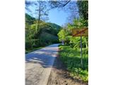 2
2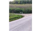 3
3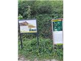 4
4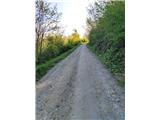 5
5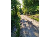 6
6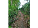 7
7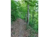 8
8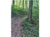 9
9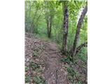 10
10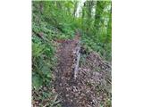 11
11 12
12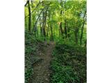 13
13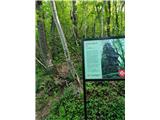 14
14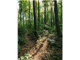 15
15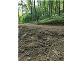 16
16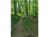 17
17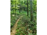 18
18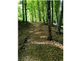 19
19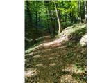 20
20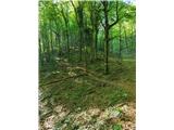 21
21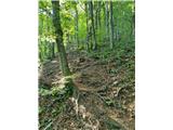 22
22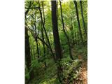 23
23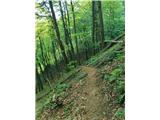 24
24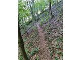 25
25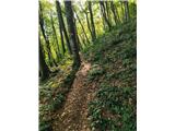 26
26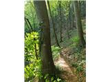 27
27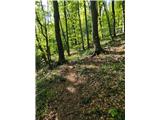 28
28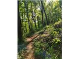 29
29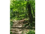 30
30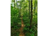 31
31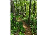 32
32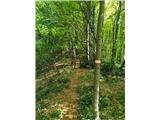 33
33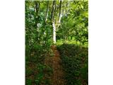 34
34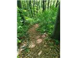 35
35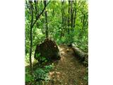 36
36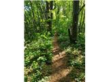 37
37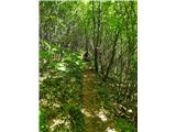 38
38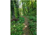 39
39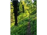 40
40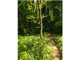 41
41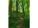 42
42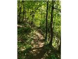 43
43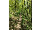 44
44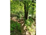 45
45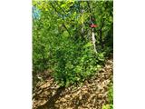 46
46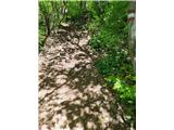 47
47 48
48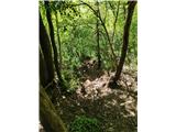 49
49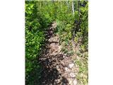 50
50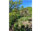 51
51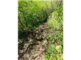 52
52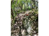 53
53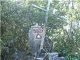 54
54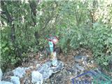 55
55
Discussion about the trip Bela - Čevo
To post a comment you must log in:
If you do not yet have a username, you must first
register.