Starting point: Ist (1 m)
| Latitude/Longitude: | 44,27120°N 14,76755°E |
| |
Walking time: 40 min
Difficulty: easy marked way
Elevation gain: 173 m
Elevation difference along the route: 173 m
Map:
Recommended equipment (summer):
Recommended equipment (winter):
Views: 24
 | 1 person like this post |
Access to starting point:
a) We leave motorway A1 at the Zadar istok junction and continue on the expressway to the port of Gaženica in Zadar, where we buy a ticket for the island of Ist (Kosirača). Upon arrival on the island of Ist, we must immediately leave the vehicle in the parking lot by the road after docking, as further driving is not allowed. We then proceed on foot through the village of Ist to the starting point, which takes us approximately 15 minutes.
b) Another option is to take a catamaran from the city port in Zadar. Catamaran line 9403 runs to the island of Ist, connecting Zadar with Molat and Ist. After approximately 1 hour and 50 minutes of sailing, we arrive at the port of Ist, from where we continue on foot to the starting point. In this case, we cannot have a vehicle on the island.
Route description:
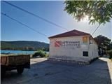
The described path starts in Široka uvala, where the catamaran docks. Officially it begins at the parish church of St. Nikolaj in Široka uvala. It is another 3 minutes from there to Sveti Nikolaj. On the concrete road we head to the signs, where we continue right towards the church of Gospa od Sniga and the viewpoint. The path initially leads us about 200 meters past houses to a junction where there is a hydrant and a small transformer station. We continue along the road past a small field, then a gentle right turn brings us to the last house. From here we continue on a wide sandy path that leads us through low shrubs to a fork. Here we continue left. To the right one reaches the bay Selišće and Jezero. At first the path is gentle, then it becomes increasingly steep and rocky. The path leads along a dry-stone wall, past stations of the Way of the Cross and through a belt of lower trees. There is an information board along the path. After 15 minutes of walking from the fork the path makes a turn, after a short ascent another turn and soon we already see the church of Gospa od Zdravlja. Here the path continues to the left on a narrow path through a small belt of forest and after a short rocky section we reach the geodetic trigonometric pillar at the top, from where a beautiful view opens in all directions.
Description and pictures refer to the situation in June 2026.

Photos:
 1
1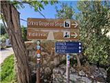 2
2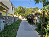 3
3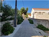 4
4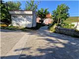 5
5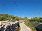 6
6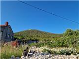 7
7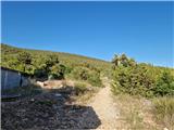 8
8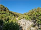 9
9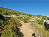 10
10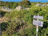 11
11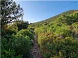 12
12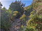 13
13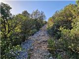 14
14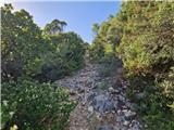 15
15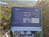 16
16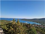 17
17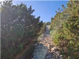 18
18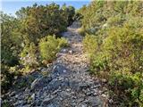 19
19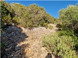 20
20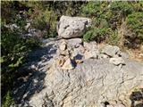 21
21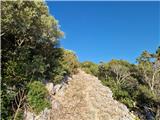 22
22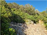 23
23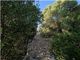 24
24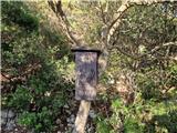 25
25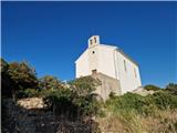 26
26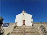 27
27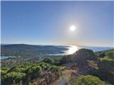 28
28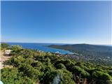 29
29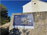 30
30 31
31 32
32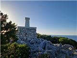 33
33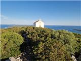 34
34 35
35 36
36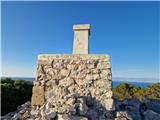 37
37
Discussion about the trip Ist - Straža (otok Ist)
To post a comment you must log in:
If you do not yet have a username, you must first
register.