Dom v Lepeni - Batognica (via Prag)
Starting point: Dom v Lepeni (700 m)
| Latitude/Longitude: | 46,30370°N 13,68140°E |
| |
Route name: via Prag
Walking time: 4 h 45 min
Difficulty: easy unmarked way
Elevation gain: 1464 m
Elevation difference along the route: 1464 m
Map: Julijske Alpe - zahodni del 1:50.000
Recommended equipment (summer):
Recommended equipment (winter): ice axe, crampons
Views: 9.158
 | 3 people like this post |
Access to starting point:
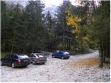
Between Trenta and Bovec, in the village of Soča, a road branches off to Lepena. We follow this fully asphalted road to the parking lot at the Dom v Lepeni mountain hut.
Route description:
From the Dr. Klement Jug House in Lepena we continue on a wide marked path in the direction of the Krn Lakes. After a few minutes of walking, the wide and not too steep path splits into two parts. The left one, which is somewhat steeper, is the usual way, and the right one, gentler and somewhat longer, is suitable for small children and the elderly. Both paths mostly ascend through the forest to the upper station of the cableway and cross each other several times along the way. From the upper station of the cargo cableway we continue on the same path, which gently ascends along a wide transport road that quickly brings us to the snow height measurement (every year in April). From here the road starts to descend and quickly brings us past the turn-off to Velika Baba to the next junction, where we leave the road and continue left downhill on the footpath, which brings us to the Dom pri Krnskih jezerih hut in a few minutes (if we continue on the road we bypass the mountain hut).
The gentle path then brings us after a further few minutes to the pearl of the Krn mountain range. In front of us we see Krn Lake and inviting meadows beside it for resting. The marked path then leads us along the left side of the lake at the foot of the scree of Mali Šmohor. On the other side of the lake, the path turns slightly to the left and then ascends a somewhat steeper slope, where somewhat higher the unmarked (upper) path joins us, which crosses the screes above Krn Lake in a traverse ascent (this path is somewhat shorter but exposed to falling rocks). The path then turns somewhat to the right and brings us to extensive torrential debris deposits that end on the Planina na Polju.
With wonderful views of the surrounding peaks we cross the grassy Planina na Polju (on the right side, somewhat off the marked path we will notice a hunting hut) and behind it we begin to ascend along a small valley. The path then ascends somewhat more steeply and soon brings us to an unmarked junction. The marked path leading towards Krnska škrbina turns right here, but we continue straight on the unmarked path, which brings us in a moderate ascent to the Prag saddle, where we step back onto the marked path.
We continue right (sharply right Krnska škrbina, sharply left Planina Razor and left Jezero v Lužnici) on the path that moderately ascends the summit slope of Batognica. We then follow this increasingly scenic path to the summit, which we reach after 15 minutes of further walking.

The trip can be extended to the following destinations: Krn
Photos:
 1
1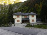 2
2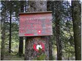 3
3 4
4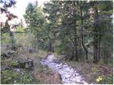 5
5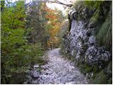 6
6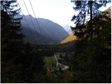 7
7 8
8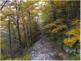 9
9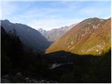 10
10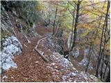 11
11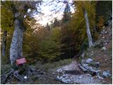 12
12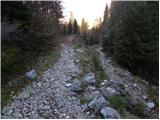 13
13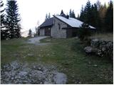 14
14 15
15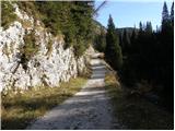 16
16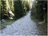 17
17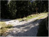 18
18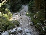 19
19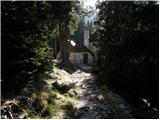 20
20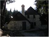 21
21 22
22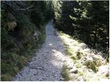 23
23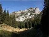 24
24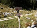 25
25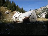 26
26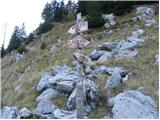 27
27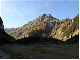 28
28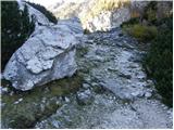 29
29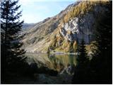 30
30 31
31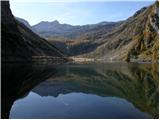 32
32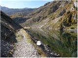 33
33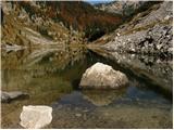 34
34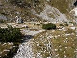 35
35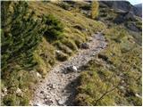 36
36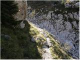 37
37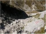 38
38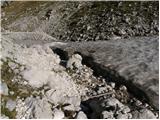 39
39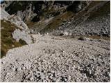 40
40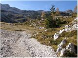 41
41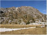 42
42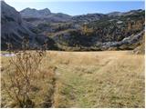 43
43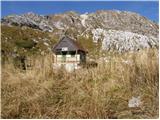 44
44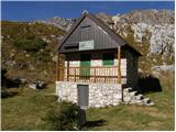 45
45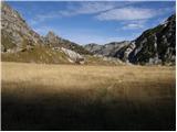 46
46 47
47 48
48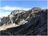 49
49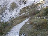 50
50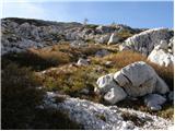 51
51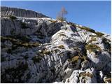 52
52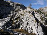 53
53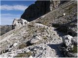 54
54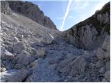 55
55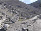 56
56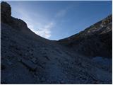 57
57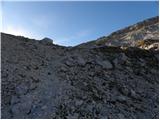 58
58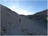 59
59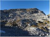 60
60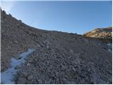 61
61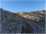 62
62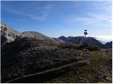 63
63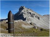 64
64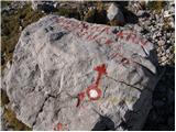 65
65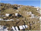 66
66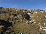 67
67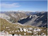 68
68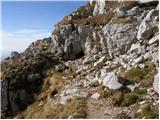 69
69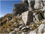 70
70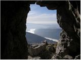 71
71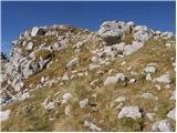 72
72 73
73 74
74 75
75
Discussion about the trip Dom v Lepeni - Batognica (via Prag)
To post a comment you must log in:
If you do not yet have a username, you must first
register.