Furlanovo zavetišče pri Abramu - Suhi vrh (Nanos) (steep path)
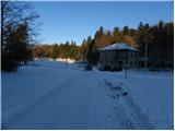
Starting point: Furlanovo zavetišče pri Abramu (900 m)
| Latitude/Longitude: | 45,81990°N 14,01960°E |
| |
Route name: steep path
Walking time: 3 h 35 min
Difficulty: easy marked way
Elevation gain: 413 m
Elevation difference along the route: 700 m
Map: Nanos 1:50.000
Recommended equipment (summer):
Recommended equipment (winter): ice axe, crampons
Views: 7.298
 | 1 person like this post |
Access to starting point:
a) From the Ljubljana–Koper motorway, take the Razdrto exit and continue on the old road through Razdrto towards the Vipava Valley. After a few kilometers of descent on a rather winding road, we reach a junction where the road to Nanos branches off to the right. We take this road, which begins to climb more steeply. When the road higher up levels out and crosses from the steep slope onto the plateau, we reach a junction where we continue left towards Abram. At all subsequent junctions we also follow the road towards Furlanovo zavetišče pri Abramu. We park in the large car park next to the nearby hunting lodge, which is located opposite Abram.
b) From the Nova Gorica–Razdrto expressway, take the Vipava exit and follow the road towards Podnanos. From Podnanos we continue on the old road towards Razdrto. Soon we reach a junction where the road to Nanos branches off sharply to the left. We take this road, which begins to climb more steeply. When the road higher up levels out and crosses from the steep slope onto the plateau, we reach a junction where we continue left towards Abram. At all subsequent junctions we also follow the road towards Furlanovo zavetišče pri Abramu. We park in the large car park next to the nearby hunting lodge, which is located opposite Abram.
Route description:
From the car park we continue along the road towards Vojkova koča and Podnanos. The gentle road quickly takes us to a small hamlet, where we continue on the upper left road. The road then leads us along the edge of the forest, from where a beautiful view of the Dolomites opens up. A little further on it turns into dense forest and takes us to the next junction, where we continue straight. We walk through the forest for a few more minutes, then the road takes us onto increasingly scenic slopes. Here we notice signs for Vojkova koča, which direct us left onto a marked but in places somewhat overgrown footpath. After the initial ascent the path quickly levels out and takes us onto plateau-like terrain. A little further on we cross a short stretch of shrubbery, then the path leads for some time across extensive and partly overgrown karst meadows. A short ascent follows and the path takes us to the next road, which we follow to the right downhill. After a short descent we leave the road again and continue the ascent left onto a marked track, along which we first begin to climb relatively steeply and then more gently. Further on we ascend along the edge of the indistinct Ječmenovec valley; higher up the path enters the forest, through which it climbs to the bare saddle northwest of Laniški vrh (1236 m).
From the saddle a descent follows to the nearby road leading to Vojkova koča, but we only cross it and continue on the marked mountain path. The path soon turns slightly left and higher up returns to the mentioned road. The moderately steep path, from which we occasionally get some views, then continues alternately through forest and partly on a gravel road. We then follow this path all the way to Vojkova koča on Nanos.
From the hut we continue on the marked path towards Suhi vrh and Strane, where we cross a meadow with a few trees into the forest and there ascend for a short time. This is followed by some easy walking with a few short descents and ascents that take us to a scenic grassy slope. After the scenic section we return to the forest and begin to descend more steeply. After a few minutes of descent we reach a marked junction, where we turn left following the signs for Suhi vrh (straight down to Strane).
A few minutes further on we reach a forest road and follow it right downhill in the direction of the markings (even if we continue left on the road we can reach Suhi vrh, as the paths later rejoin). At the point where we rejoin the path from Strane we turn left onto a footpath, which then climbs through the forest and returns to the road. We follow the road once more to the right and continue along it to the nearby hunting lodge.
We continue the ascent for some time on the forest road, then the signs for Suhi vrh – strma pot direct us right downhill (straight on the road leads to the gentle path). The path first descends steeply to the bottom of a sinkhole, then begins to climb through the forest. After a few minutes of more intense ascent we arrive at an emergency bivouac set up in a former military tunnel; after it the path levels out slightly. Only a short ascent remains and the path takes us to the scenic Suhi vrh.
Abram - Vojkova koča 2:00, Vojkova koča - Bukova dolina 0:35, Bukova dolina - razpotje Boljunov vrh 0:15, razpotje Boljunov vrh - razcep pod Suhim vrhom 0:25, razcep pod Suhim vrhom - Suhi vrh 0:20.

Photos:
 1
1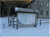 2
2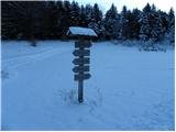 3
3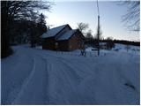 4
4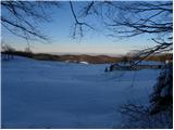 5
5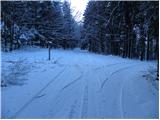 6
6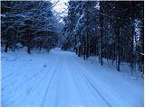 7
7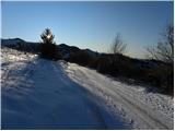 8
8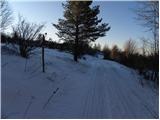 9
9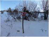 10
10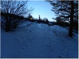 11
11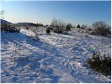 12
12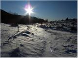 13
13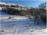 14
14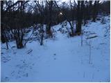 15
15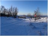 16
16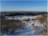 17
17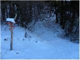 18
18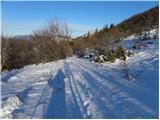 19
19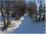 20
20 21
21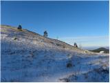 22
22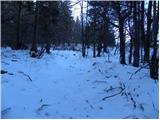 23
23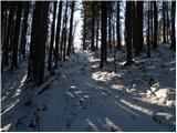 24
24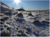 25
25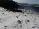 26
26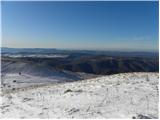 27
27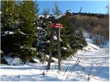 28
28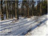 29
29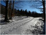 30
30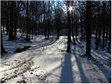 31
31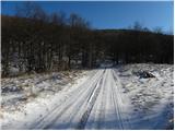 32
32 33
33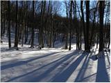 34
34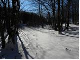 35
35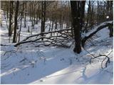 36
36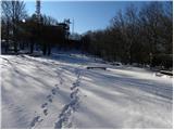 37
37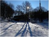 38
38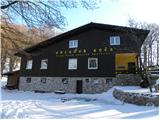 39
39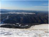 40
40 41
41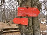 42
42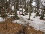 43
43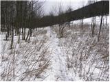 44
44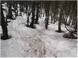 45
45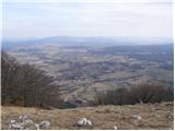 46
46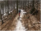 47
47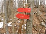 48
48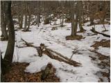 49
49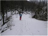 50
50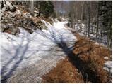 51
51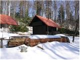 52
52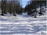 53
53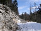 54
54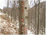 55
55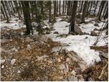 56
56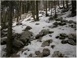 57
57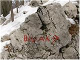 58
58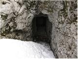 59
59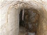 60
60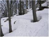 61
61 62
62
Discussion about the trip Furlanovo zavetišče pri Abramu - Suhi vrh (Nanos) (steep path)
|
| NINICA3. 03. 2013 |
Has anyone been to Nanos recently by chance? I'm interested in the conditions.
|
|
|
|
| Katja664. 03. 2013 |
On Saturday on Nanos on the Pleše side: still a lot of snow, but crusty and very soft. Where a lot has drifted, it sinks up to the thighs.
|
|
|
To post a comment you must log in:
If you do not yet have a username, you must first
register.