Gradišče pri Vipavi - Grmada (Nanos) (via Sveti Miklavž)
Starting point: Gradišče pri Vipavi (250 m)
| Latitude/Longitude: | 45,83230°N 13,97100°E |
| |
Route name: via Sveti Miklavž
Walking time: 3 h 40 min
Difficulty: easy unmarked way
Elevation gain: 959 m
Elevation difference along the route: 1060 m
Map: Nanos 1:50.000
Recommended equipment (summer):
Recommended equipment (winter): ice axe, crampons
Views: 3.765
 | 1 person like this post |
Access to starting point:
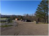
From the Vipava motorway, we take the Vipava exit. After leaving the motorway, we continue on the old road towards Vipava. Before reaching the town, a marked road branches off to the right towards the village of Gradišče pri Vipavi. We then ascend through the village and follow the signs for Kamp Tura and Gradiška Tura. Once above the village, we reach the mentioned camp and a larger parking area, where we park.
Route description:
From the chapel we continue along a poorer road that begins to descend gently. After a short descent, a cart track branches off slightly to the right leading towards Podnanos, but we continue straight on the road that takes us past a small spring (the spring is twenty meters from the path). The road then moderately ascends and descends several times, and brings us to a marked junction where the path to Abram branches off to the left (path over Konj), the path down to the right branches off towards Podnanos, and we continue straight ahead. A little further on, another path from Podnanos joins from the right, and we follow the poorer road until we join the asphalt road leading to Nanos. We reach the road exactly at a pronounced hairpin bend, along which we begin to ascend with increasingly beautiful views. We continue along the road to the next bend, after which the markings direct us right onto a footpath, along which we ascend somewhat more steeply. The well-marked path returns to the road higher up and leaves it again after a few minutes, and crosses it once more a little higher. The path then leads us past a large chapel visible from afar. Slightly above the chapel we reach a marked junction, where we continue right uphill towards Vojkova koča past Strmec (left Vojkovo hunting lodge, right down to Lozice).
The path ahead becomes quite steep and much less trodden, but is not particularly demanding orientation-wise. Higher up it leads us out of the forest and flattens completely after a bend. Here we continue straight on a barely visible track, which after two minutes of walking joins the well-trodden and marked path Lovska koča Vojkovo–Vojkova koča na Nanosu.
Once we reach the mentioned path, we follow it to the right (left to the hunting lodge ten minutes), and it leads us across grassy slopes occasionally overgrown with shrubs and individual pines. The easy and barely ascending path then joins the road for a short time, but leaves it again after a few steps. The path moves slightly more to the right of the road and begins to ascend moderately across the increasingly scenic slopes of Nanos. Here an unmarked path joins from the right, which branched off to the right slightly lower down. The path ahead becomes slightly steeper and after a few minutes of walking brings us to the chapel of St. Hieronymus.
From the chapel we continue slightly right on the path, which a little higher up is joined from the right by a gentle path from Razdrto. We continue towards Vojkova koča on the path that after just a few steps brings us to a less noticeable junction, where an unmarked path to Grmada branches off to the left.
We take the mentioned, initially less visible track, which ascends more steeply and soon brings us to a forest road that we merely cross. We continue the ascent on a relatively steep path that climbs across an increasingly scenic grassy slope. Higher up the path flattens a little, turns right and gradually leads onto an indistinct ridge, along which after a few more minutes of walking we reach the summit of Grmada.
Gradišče pri Vipavi - sv. Hieronim 3:10, sv. Hieronim - Grmada 0:30.

Photos:
 1
1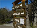 2
2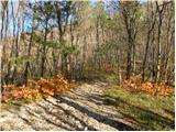 3
3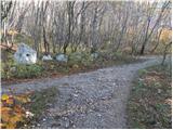 4
4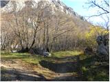 5
5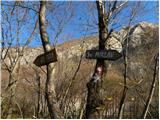 6
6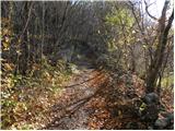 7
7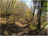 8
8 9
9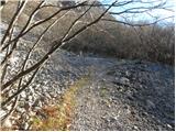 10
10 11
11 12
12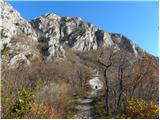 13
13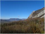 14
14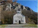 15
15 16
16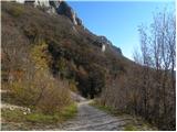 17
17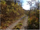 18
18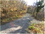 19
19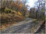 20
20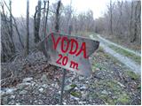 21
21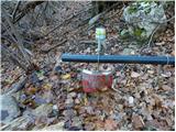 22
22 23
23 24
24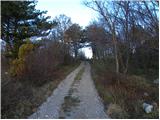 25
25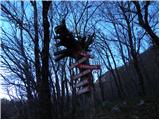 26
26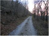 27
27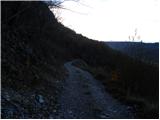 28
28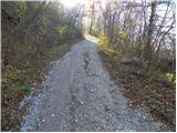 29
29 30
30 31
31 32
32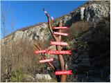 33
33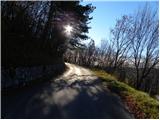 34
34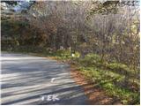 35
35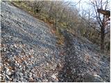 36
36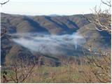 37
37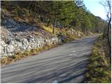 38
38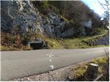 39
39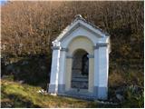 40
40 41
41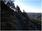 42
42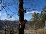 43
43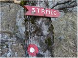 44
44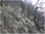 45
45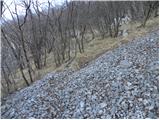 46
46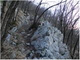 47
47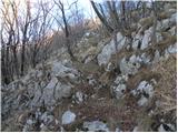 48
48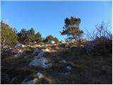 49
49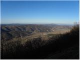 50
50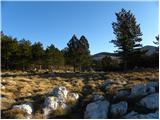 51
51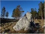 52
52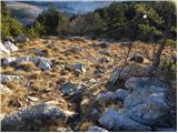 53
53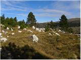 54
54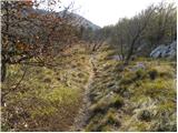 55
55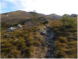 56
56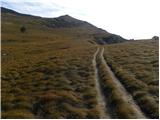 57
57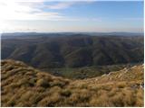 58
58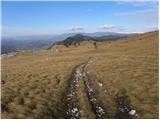 59
59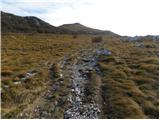 60
60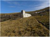 61
61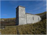 62
62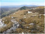 63
63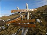 64
64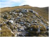 65
65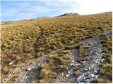 66
66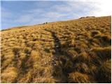 67
67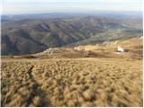 68
68 69
69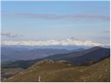 70
70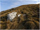 71
71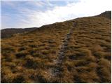 72
72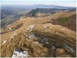 73
73 74
74 75
75
Discussion about the trip Gradišče pri Vipavi - Grmada (Nanos) (via Sveti Miklavž)
To post a comment you must log in:
If you do not yet have a username, you must first
register.