Koča pod slapom Rinka - Izvir Savinje
Starting point: Koča pod slapom Rinka (1010 m)
| Latitude/Longitude: | 46,36960°N 14,59860°E |
| |
Walking time: 50 min
Difficulty: partly demanding marked way
Elevation gain: 295 m
Elevation difference along the route: 295 m
Map: Kamniške in Savinjske Alpe 1:50.000
Recommended equipment (summer): helmet
Recommended equipment (winter): helmet, ice axe, crampons
Views: 8
 | 1 person like this post |
Access to starting point:
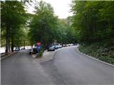
We drive into Logarska dolina, then follow the main road towards the head of the valley, where we park at the parking area at the turning point near Bar Pod slapom, also known as Koča pod slapom Rinka.
Entry by motor vehicle into Krajinski park Logarska dolina requires payment of an entrance fee or ecological tax amounting to 10 € for a passenger car (7 € for motorcycles, 20 € for vans). The fee is collected during the tourist season (from spring to the end of October) and also applies to electric vehicles. Payment includes use of all parking areas inside the valley. Entry is free for pedestrians and cyclists.
The current price list is available on the official website of Krajinski park Logarska dolina.
Route description:
From the place where we parked, we first walk to Bar Pod slapom, then head onto the marked path with numerous mountain destinations indicated. We continue along the mountain trail through the forest (a slightly less steep tourist path leads a little more to the left), which after a few minutes of ascent joins the tourist path, and we continue with an easy ascent to the junction near Slap Rinka.
We proceed slightly left towards Frischaufov dom na Okrešlju (straight ahead to the foot of Slap Rinka and Orlovo gnezdo), where a little further we cross Savinja over a wooden footbridge. It then sinks into the gravel bed, and immediately after the bridge a fine view of Slap Rinka opens up on the right.
We then begin a steep ascent along the well-maintained path, which higher up turns right and passes beneath the rock faces where there is a risk of falling rocks. Here, with the help of fixed safety features, we ascend transversely to the right, then cross Savinja over a footbridge just above the mouth of Slap Rinka.
The path then leads for some time along the picturesque Savinja, where a few more fixed safety features assist our progress; higher up the slope levels out. We then cross the Savinja riverbed, which at this point carries little water, and arrive at the marked source of Savinja.
Starting point - Slap Rinka 0:15, Slap Rinka - Izvir Savinje 0:35.
The description and images refer to the situation in September 2026.

Photos:
 1
1 2
2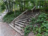 3
3 4
4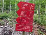 5
5 6
6 7
7 8
8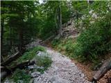 9
9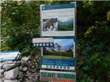 10
10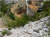 11
11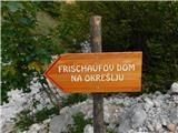 12
12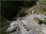 13
13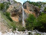 14
14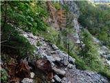 15
15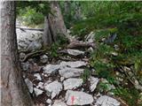 16
16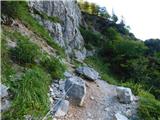 17
17 18
18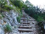 19
19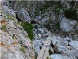 20
20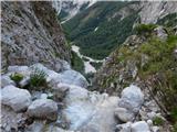 21
21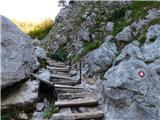 22
22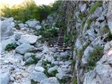 23
23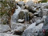 24
24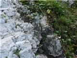 25
25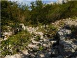 26
26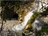 27
27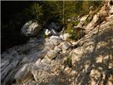 28
28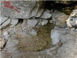 29
29
Discussion about the trip Koča pod slapom Rinka - Izvir Savinje
To post a comment you must log in:
If you do not yet have a username, you must first
register.