Parkirišče Alpspitzbahn - Kreuzeckhaus
Starting point: Parkirišče Alpspitzbahn (760 m)
| Latitude/Longitude: | 47,47154°N 11,06208°E |
| |
Walking time: 3 h
Difficulty: easy marked way
Elevation gain: 892 m
Elevation difference along the route: 892 m
Map:
Recommended equipment (summer):
Recommended equipment (winter):
Views: 1.553
 | 2 people like this post |
Access to starting point:
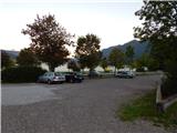
Through the Karawanks Tunnel, we drive to Austria, and then we continue driving towards Spittal and further towards Lienz (a little after Spittal the highway ends). Further, we drive on a relatively nice and wide road through the Drau Valley, which brings us to Italy. The road further leads past Dobbiaco / Toblach and Brunico / Bruneck. We continue on the main road and then join the highway towards Austria (direction Brenner, Innsbruck). In Innsbruck we continue on the highway which runs towards the west along the river Inn (at the highway junction direction Garmisch). We soon leave the highway at the exit for Garmisch. The road then starts ascending towards the pass Scharnitz where there is the border between Austria and Germany. From the pass, we then descend to the German side and follow the signs for Garmisch-Partenkirchen. When we drive through the mentioned settlement we follow the signs for Austria and the settlement Ehrwald. A little before the end of the settlement Garmisch-Partenkirchen we turn left where the signs »Alpspitze« direct us. We follow this road to a large parking lot at the bottom station of the cableways Alpspitzbahn and Kreuzeckbahn.
Route description:
From the parking lot, we go towards the bottom station of the cableway Alpspitzbahn and first we cross a railway track, then we go on a macadam road that runs between both cableways. At the beginning the macadam path leads past a few houses, and by the path we will also notice signposts which mark the path towards the hut Kreuzeck. The road then turns left and starts steeply ascending through the forest. Further the road runs occasionally on a ski slope from which a view opens up towards the settlement Garmisch-Partenkirchen and then again through the forest.
Later, the path brings us to a wider macadam road on which we continue right following the signs »Kreuzeck«. We follow the gentle wide road only a short time, as signposts soon direct us left onto a steeper road by the ski slope. Here the path leads past the artificial lake Speichersee and later joins the wider road again. For some time we walk on the mentioned road again, then signs for Kreuzeck direct us right onto a footpath.
Here we then ascend in zig-zags through the forest, soon we come out of the forest again and a view also opens up towards the summit Zugspitze. A short ascent follows by the ski slope and the path brings us to the private hut Trögelhütte.
At the hut we continue right on a narrow macadam road, which after a short ascent we leave and continue on a footpath. Further we ascend through the forest and by the path we will also notice boards on which various verses are written. Higher the path brings us to the pasture Kreuzalm where we join the macadam road again. On the pasture where a beautiful view opens up towards the summit Alpspitz we continue right on the macadam road by which we soon reach the hut Kreuzeckhaus where there is also the upper station of the cableway Kreuzeckbahn.

Along the route: Speichersee (1230m), Trögelhütte (1436m)
Photos:
 1
1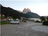 2
2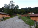 3
3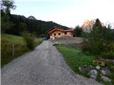 4
4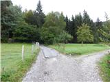 5
5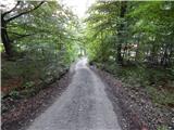 6
6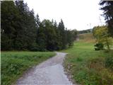 7
7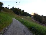 8
8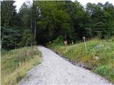 9
9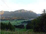 10
10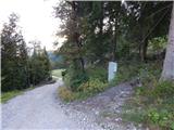 11
11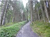 12
12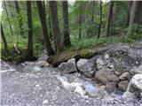 13
13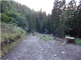 14
14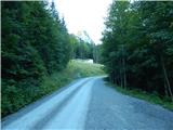 15
15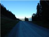 16
16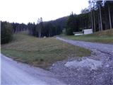 17
17 18
18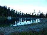 19
19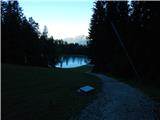 20
20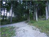 21
21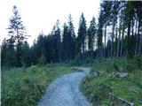 22
22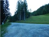 23
23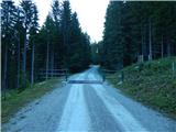 24
24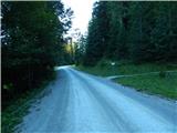 25
25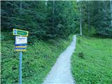 26
26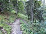 27
27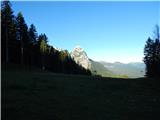 28
28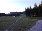 29
29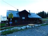 30
30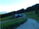 31
31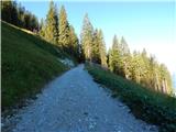 32
32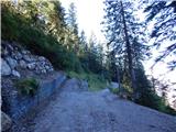 33
33 34
34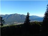 35
35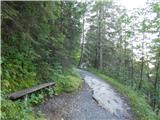 36
36 37
37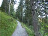 38
38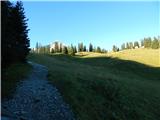 39
39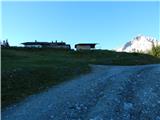 40
40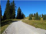 41
41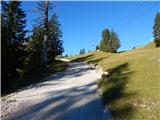 42
42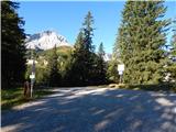 43
43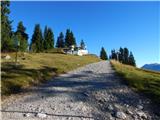 44
44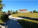 45
45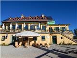 46
46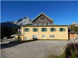 47
47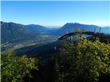 48
48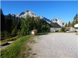 49
49
Discussion about the trip Parkirišče Alpspitzbahn - Kreuzeckhaus
To post a comment you must log in:
If you do not yet have a username, you must first
register.