Podpeca (Mitnek) - Dom na Peci
Starting point: Podpeca (Mitnek) (880 m)
| Latitude/Longitude: | 46,49420°N 14,82620°E |
| |
Walking time: 2 h 45 min
Difficulty: easy marked way
Elevation gain: 785 m
Elevation difference along the route: 785 m
Map: Kamniške in Savinjske Alpe 1:50.000
Recommended equipment (summer):
Recommended equipment (winter):
Views: 15.938
 | 2 people like this post |
Access to starting point:
A) We drive to Črna na Koroškem (to here from Ravne na Koroškem or from Šoštanj over the pass Spodnje Sleme), then we continue driving towards Koprivna and Podpeca. Further on, we ascend along the river Meža, while we drive alongside it to the crossroads, where the road towards Podpeca and Dom na Peci branches off to the right. A little higher the asphalt ends, and we park at the parking lot by the road.
B) We drive to Luče (to here from Mozirje or from Kamnik over the pass Volovljek (Kranjski Rak)), then we continue driving towards Logarska dolina. In the village Solčava we leave the main road towards Logarska dolina and continue driving right in the direction of Podolševa, pass Spodnje Sleme and Črna na Koroškem. Further on the road loses the asphalt surface, and after a few kilometers at the crossroads in Podolševa we turn right towards Črna na Koroškem. The road, which further on mainly ascends transversely, brings us after some time to the pass Spodnje Sleme. From the pass the road starts descending, and we follow it in the direction of Črna na Koroškem. When after a few kilometers we descend into the valley, at the crossroads we turn right towards Črna na Koroškem (left Koprivna). On the main road we descend towards Črna na Koroškem, and the road first leads us past the turn-off into the Topla valley, a little lower also to the turn-off of the road towards Podpeca and Dom na Peci. Here we continue left and start ascending on the asphalt road. A little higher the asphalt ends, and we park at a suitable place by the road.
Route description:
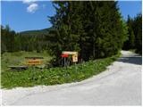
We continue on the macadam road and follow the signs for Dom na Peci. Soon we come to the first junction, where we continue left. Here the road starts ascending and soon we are again at a junction. We head onto the left road following the signs »Dom na Peci - footpath«. We soon leave this road and start ascending on a steep cart track beside the meadow. The path then brings us to the road along which we continue a few dozen meters to the left, then the markers direct us again right onto the footpath. Further on we then ascend through the forest for a long time.
Later the path leads past the hunting hut.
A short ascent follows and the path brings us again to the road. We continue following the signs »Dom na Peci 45 min« and start ascending on the cart track. The path further turns slightly to the left and then in the ascent crosses the slopes towards the southwest for quite some time. In the last part the path turns right and a short ascent follows through the forest to Dom na Peci.

Photos:
 1
1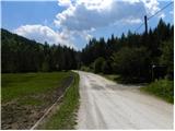 2
2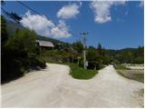 3
3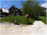 4
4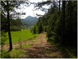 5
5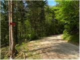 6
6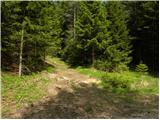 7
7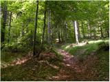 8
8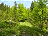 9
9 10
10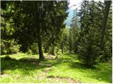 11
11 12
12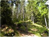 13
13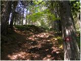 14
14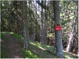 15
15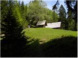 16
16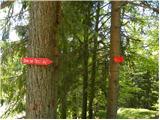 17
17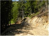 18
18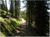 19
19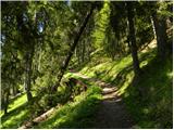 20
20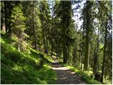 21
21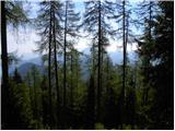 22
22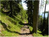 23
23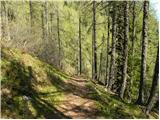 24
24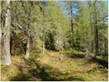 25
25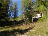 26
26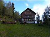 27
27
Discussion about the trip Podpeca (Mitnek) - Dom na Peci
To post a comment you must log in:
If you do not yet have a username, you must first
register.