Starting point: Poklon (922 m)
Walking time: 2 h 30 min
Difficulty: easy marked way
Elevation gain: 350 m
Elevation difference along the route: 400 m
Map:
Recommended equipment (summer):
Recommended equipment (winter):
Views: 9.449
 | 2 people like this post |
Access to starting point:
From Ilirska Bistrica over the border crossing Jelšane we drive towards Rijeka. We leave the highway towards Rijeka at the Jurdani exit and follow the road ahead to the settlement Matulji, where signs for Učka direct us to the right. We follow this road, which then ascends quite steeply, to a large parking lot on Poklon.
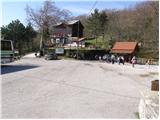
Route description:
From the parking lot, we head towards the mountain hut Poklon, which is situated by the main road. From the hut, we walk along the road for approximately 50 meters, then after the bridge, we continue right towards Planik. The forest road, with a gentle ascent, quickly leads us to the first crossroad, where we continue on the lower left road. After an hour of walking with a few descents and ascents, the road brings us to the next crossroad, where a path from Lipoglav joins from the left. We continue towards Planik along the road, which gradually transitions from the forest to unvegetated slopes. After about half an hour of walking on scenic slopes, the path re-enters the forest, leading to the next crossroad. We continue on the right road towards the Istrska mountain path (IPP). After nearly two hours of walking, the road begins to ascend more steeply. After about 20 minutes of ascent, we reach a small saddle with a junction (left to Veliki Planik, right to Mali Planik, and straight to Korita). Here we continue left in the direction of Veliki Planik on the path which quickly brings us out of the forest onto grassy slopes. The path ahead ascends somewhat more steeply and quickly brings us to the summit.

Photos:
 1
1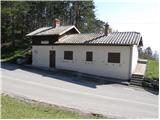 2
2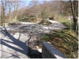 3
3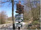 4
4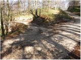 5
5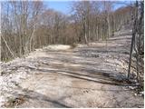 6
6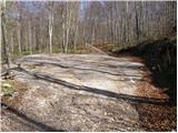 7
7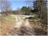 8
8 9
9 10
10 11
11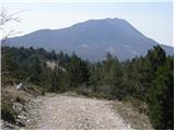 12
12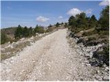 13
13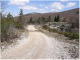 14
14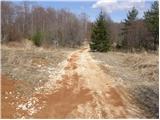 15
15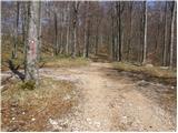 16
16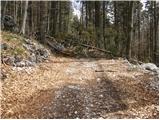 17
17 18
18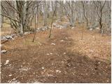 19
19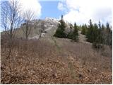 20
20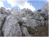 21
21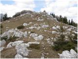 22
22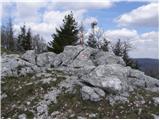 23
23
Discussion about the trip Poklon - Veliki Planik
|
| robson16. 07. 2023 22:00:53 |
Now there is also a somewhat more demanding alternative path in terms of ascents, but definitely nicer, which branches off the road approximately in the middle of the described path. The new mountain footpath with nice views runs along the ridge and visits three summits - Ošalj vrh (1176 m), Mali Planik (1259 m) and Veliki Planik (1272 m). Thus it is now possible to do a circular path returning via the described road path (or vice versa), thereby avoiding extra ascents in one direction (but at the same time forgoing the views).
|
|
|
To post a comment you must log in:
If you do not yet have a username, you must first
register.