Radeljski prelaz - Sveti Urban (Radelca)
Starting point: Radeljski prelaz (674 m)
| Latitude/Longitude: | 46,64470°N 15,20620°E |
| |
Walking time: 2 h 30 min
Difficulty: easy marked way
Elevation gain: 246 m
Elevation difference along the route: 435 m
Map: Pohorje - izletniška karta 1:50.000
Recommended equipment (summer):
Recommended equipment (winter): crampons
Views: 260
 | 1 person like this post |
Access to starting point:
We drive to Radlje ob Dravi, and then we continue driving towards the mountain pass Radeljski prelaz. After a few kilometers of ascent we get to the border crossing Radelj, where we park.
Route description:
On the Austrian side of the pass, we notice hiking signposts, including for the mountain hut Kapunerhütte, which point us sharply right on a macadam road. We ascend on the road to the edge of the forest, where we continue left, on the road which is closed to public traffic. We ascend the road for a few minutes, and then blazes point us slightly to the right on a marked footpath which ascends through a clearing and from which some views open up. Above the clearing, the path passes into the forest and on the Austrian side bypasses the peak Radelj (784 m). During the crossing a nice view opens up temporarily towards Golica / Koralpe, and then the path reaches the national border, by which it continues. There follows an ascent by the edge of a meadow, where on the left stands a larger private hut, and with nice views, we ascend to the upper edge of a meadow, where the path returns into the forest. Through the forest, we follow the blazes, and the path temporarily reaches a cart track at the sign.
From the cart track, we go immediately slightly right and we ascend through the next clearing, from where a nice view opens up again, this time somewhat more on the Slovenian side, where we clearly see Uršlja gora and Peca. Higher, the path for some time runs by a mesh fence, and later it starts slightly descending. There follows a gentle traversing descent and crossing of a cart track, and then we already arrive at the Kapunerhütte hut.
From the hut, we continue towards sv. Pankracij / St. Pongratzen, where we start ascending diagonally through the forest. Higher, the path turns right and then quickly brings us to the national border, where in a few steps we descend to a marked junction.
From the junction, we continue slightly right (slightly left sv. Pankracij - Austrian path, straight - unmarked path to the summit of Kapunarja, sharply right - Radlje ob Dravi) and on a cart track in a few minutes we descend to the amateur radio operators' hut, where there is an inscription box and from where a nice view opens up on part of the Dravska dolina valley and Pohorje.
From the guardhouse we continue in the direction of the hunting cross, sv. Urban and sv. Pankracij. The path ahead leads us on a cart track which starts gradually descending, and lower we reach the border ridge, which we reach at the hunting cross.
We continue on the path which runs on the Slovenian side of the ridge Radelj, and for some time parallel with our path runs also the Austrian path. Further, the paths temporarily separate somewhat, and at the next wooden sign, they approach again.
We leave the national border at the junction, where signs for path sv. Pankracij point us to the right downwards. There follows a descent to the nearby farm Buzenik, which we bypass on the left side. Behind the chapel and NOB memorial we step on a macadam road which we follow to the left and then we quickly get to the church of sv. Urban.
Radeljski prelaz - Kapunerhütte 1:20, Kapunerhütte - amateur radio operators' hut 0:20, amateur radio operators' hut - sv. Urban 0:50.
Description and pictures refer to the condition in May 2019 and December 2018.

Along the route: Kapunerhütte (1003m)
Photos:
 1
1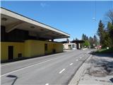 2
2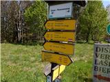 3
3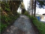 4
4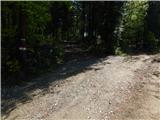 5
5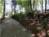 6
6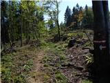 7
7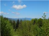 8
8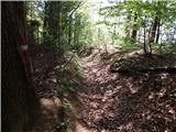 9
9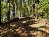 10
10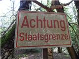 11
11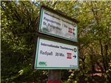 12
12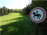 13
13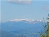 14
14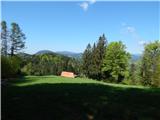 15
15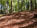 16
16 17
17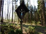 18
18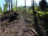 19
19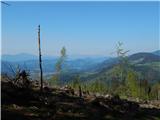 20
20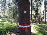 21
21 22
22 23
23 24
24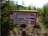 25
25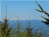 26
26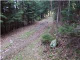 27
27 28
28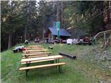 29
29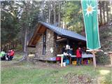 30
30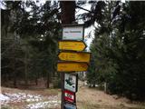 31
31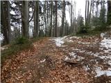 32
32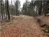 33
33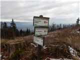 34
34 35
35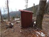 36
36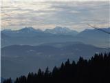 37
37 38
38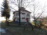 39
39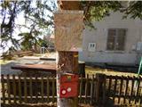 40
40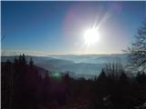 41
41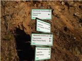 42
42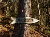 43
43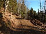 44
44 45
45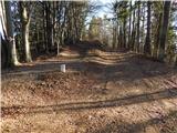 46
46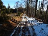 47
47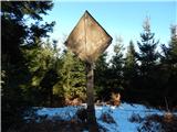 48
48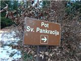 49
49 50
50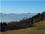 51
51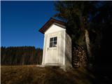 52
52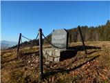 53
53 54
54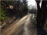 55
55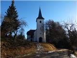 56
56
Discussion about the trip Radeljski prelaz - Sveti Urban (Radelca)
To post a comment you must log in:
If you do not yet have a username, you must first
register.