Starting point: Slatna (640 m)
| Latitude/Longitude: | 46,36820°N 14,22710°E |
| |
Walking time: 3 h 5 min
Difficulty: easy marked way
Elevation gain: 995 m
Elevation difference along the route: 1010 m
Map: Karavanke - osrednji del 1:50.000
Recommended equipment (summer):
Recommended equipment (winter): ice axe, crampons
Views: 2.755
 | 1 person like this post |
Access to starting point:
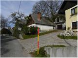
From the Ljubljana–Jesenice highway, take the Radovljica exit (from the Gorenjska side, Lesce exit) and follow the road ahead towards Begunje. In Begunje, continue driving right towards Tržič, but follow the somewhat narrower road to the village of Slatna. Since there are no suitable parking spots in the mentioned village, park in a suitable spot by the road before or behind the village.
Route description:
Along the main road, continue to the centre of the village, where we will notice by the road a red signpost «2h 15min», which directs us past a few houses into the forest. Initially still quite wide, the path then takes us to the Slatna water tank. Further on, the path becomes somewhat narrower and takes us through the forest to a cart track, where we join the path from Begunje.
On the cart track, continue right and continue ascending through the forest. Higher up, we reach a mountain road, along which we continue a few metres to the left, after which the markers direct us right back into the forest. Further on, we walk for a long time through the forest eastwards. In doing so, we cross the mountain road twice, after which we soon join the path from the villages of Hudi Graben and Zadnja vas.
At the junction, continue left on the footpath, which higher up crosses the mountain road a few more times. We then follow this path, which occasionally ascends quite steeply, all the way to the Koča na Dobrči hut.
Near the Koča na Dobrči hut, signs for Dobrča peak direct us onto a forest road, along which we begin to descend gently northwards. After a short descent, we notice direction signs that direct us right to Podgorska planina, whose huts we bypass on the right side. Further on, we ascend over a panoramic grassy slope, after which the path enters initially sparse forest, becoming denser higher up. When the gradient eases, two paths join us from the right, but in both cases we continue straight ahead. The path then ascends more steeply again and after a few minutes of further walking brings us to the summit of Dobrča.
From Dobrča, continue towards Šentanski vrh along the path that first descends into a small valley between the two peaks, then rises moderately and after a few dozen steps of further walking brings us to Šentanski vrh.

Photos:
 1
1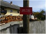 2
2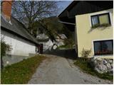 3
3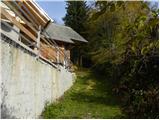 4
4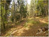 5
5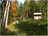 6
6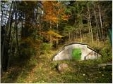 7
7 8
8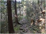 9
9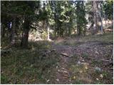 10
10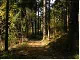 11
11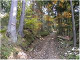 12
12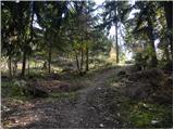 13
13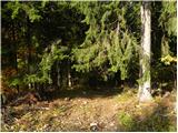 14
14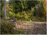 15
15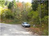 16
16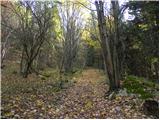 17
17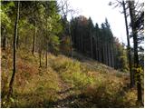 18
18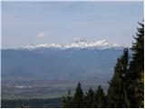 19
19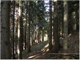 20
20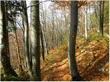 21
21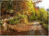 22
22 23
23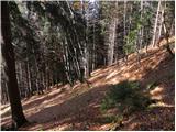 24
24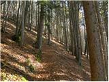 25
25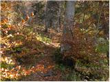 26
26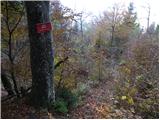 27
27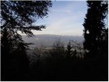 28
28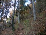 29
29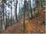 30
30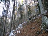 31
31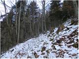 32
32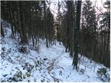 33
33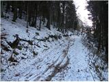 34
34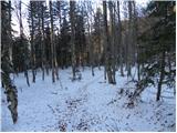 35
35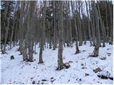 36
36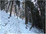 37
37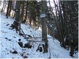 38
38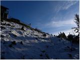 39
39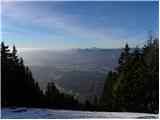 40
40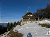 41
41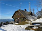 42
42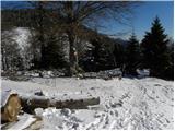 43
43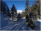 44
44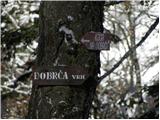 45
45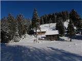 46
46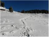 47
47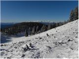 48
48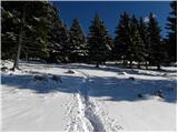 49
49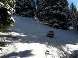 50
50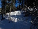 51
51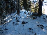 52
52 53
53 54
54 55
55 56
56 57
57 58
58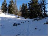 59
59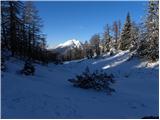 60
60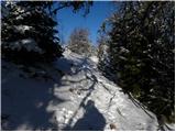 61
61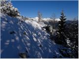 62
62 63
63 64
64
Discussion about the trip Slatna - Šentanski vrh
To post a comment you must log in:
If you do not yet have a username, you must first
register.