Slovenska vas - Petelinjsko jezero
Starting point: Slovenska vas (567 m)
| Latitude/Longitude: | 45,70110°N 14,21140°E |
| |
Walking time: 20 min
Difficulty: easy marked way
Elevation gain: -37 m
Elevation difference along the route: 15 m
Map: Snežnik 1:50.000
Recommended equipment (summer):
Recommended equipment (winter):
Views: 7.577
 | 1 person like this post |
Access to starting point:
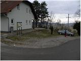
From the Ljubljana - Koper highway, we take the Postojna exit, then continue driving in the direction of Pivka and Ilirska Bistrica. When we arrive in the village Petelinje, we leave the main road and continue left in the direction of Slovenska vas. On a somewhat narrower road we quickly arrive at the mentioned village, where we park by the Beekeeping Educational Centre Slovenska vas (Čebelarsko izobraževalno središče Slovenska vas).
Route description:
At the starting point, we notice signs for Petelinjsko jezero and Sveto Trojico, which direct us right onto a gradually worsening macadam road. The road first ascends slightly, then begins to descend gently. After a few minutes of descent, we arrive at a smaller junction, where signs for Sveto Trojico direct us sharply left. We continue on the macadam road, which leads through expansive meadows, on which we can observe the growth of numerous pines and junipers. A little further on, we come to a poorly marked junction, where a marked footpath branches off to the right to Sveto Trojico, while we continue straight on the road, which starts to descend towards Petelinjsko jezero, reaching it after a few minutes of further walking.
Photos:
 1
1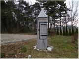 2
2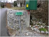 3
3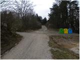 4
4 5
5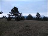 6
6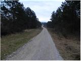 7
7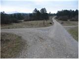 8
8 9
9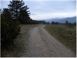 10
10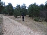 11
11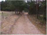 12
12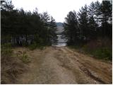 13
13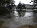 14
14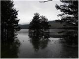 15
15
Discussion about the trip Slovenska vas - Petelinjsko jezero
To post a comment you must log in:
If you do not yet have a username, you must first
register.