Slovenska vas - Sveta Trojica
Starting point: Slovenska vas (567 m)
| Latitude/Longitude: | 45,70110°N 14,21140°E |
| |
Walking time: 2 h 15 min
Difficulty: easy marked way
Elevation gain: 539 m
Elevation difference along the route: 600 m
Map: Snežnik 1:50.000
Recommended equipment (summer):
Recommended equipment (winter):
Views: 22.624
 | 2 people like this post |
Access to starting point:
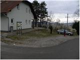
From the Ljubljana - Koper highway, we take the Postojna exit, then continue driving in the direction of Pivka and Ilirska Bistrica. When we arrive in the village of Petelinje, we leave the main road and continue left in the direction of Slovenska vas. On a somewhat narrower road, we quickly arrive at the mentioned village, where we park by the Beekeeping Educational Center Slovenska vas (Čebelarsko izobraževalno središče Slovenska vas).
Route description:
At the starting point, we notice signs for Petelinjsko jezero and Sveta Trojica, which direct us right onto a gradually deteriorating macadam road. The road first rises slightly, then begins to descend gently. After a few minutes of descent, we arrive at a smaller junction, where the signs for Sveta Trojica direct us sharply left. We continue on the macadam road, which leads us through vast meadows where we can observe numerous pines and junipers. A little further on, we reach a junction where a marked footpath to Sveta Trojica branches off to the right (straight ahead the road continues towards Petelinjsko jezero - 2 minutes).
We continue in the direction of Sveta Trojica along a path that continues through a wooded belt of shrubs. The path then takes us out of the forest, where it turns left and briefly continues along the pasture fence. Some 10 meters further, we reach pasture gates through which we continue. Further on, we gently ascend across an extensive pasture for some time, then the path begins to ascend more steeply across panoramic pasture slopes. Once higher we leave the pasture, we continue left first along a cart track, then along a macadam road. Further on, we walk along the road for some time, following it to a smaller junction where a poorer forest road branches off to the right, to which the blazes also direct us. Higher up, the road gradually turns into a cart track that leads us through a sparse pine grove surrounded by numerous juniper bushes. The gentle cart track later turns into a pleasant path, which soon brings us to a forest road that we merely cross. We continue in the direction of Sveta Trojica through the forest, which thins out higher up. Since the path has several junctions in this section, we carefully follow the blazes. The path then levels out completely and takes us to a larger meadow, in the middle of which stands a hunting observatory.
Here, a path from a higher starting point joins from the left, and we continue slightly right towards the summit, which is still a 45-minute walk away.
The path ahead continues along a cart track, which takes us over several unmarked junctions to the point where a path from Vlačno joins from the right. We continue along the partly rocky cart track, which higher up crosses another forest road. A little further on, the cart track turns into a moderately steep footpath, which quickly takes us out of the forest onto the summit grassy slope of the mountain. Here the path turns slightly left and, with ever finer views of the Pivška kotlina basin and surrounding hills, quickly brings us to the summit, in the middle of which stands the renovated church of the Holy Trinity.

Photos:
 1
1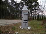 2
2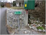 3
3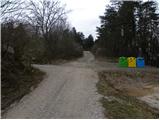 4
4 5
5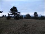 6
6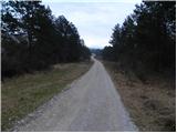 7
7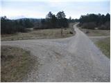 8
8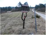 9
9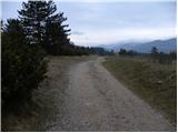 10
10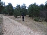 11
11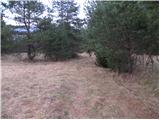 12
12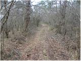 13
13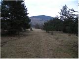 14
14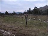 15
15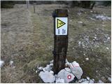 16
16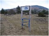 17
17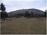 18
18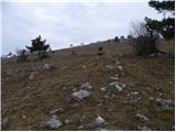 19
19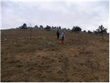 20
20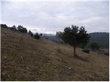 21
21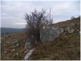 22
22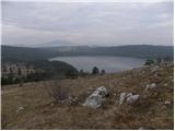 23
23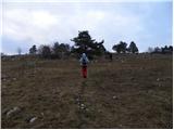 24
24 25
25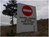 26
26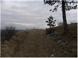 27
27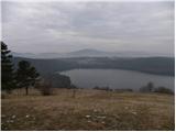 28
28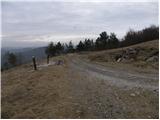 29
29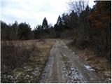 30
30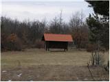 31
31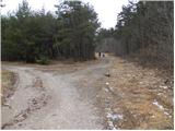 32
32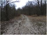 33
33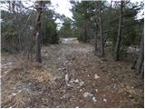 34
34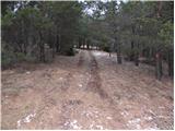 35
35 36
36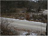 37
37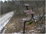 38
38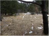 39
39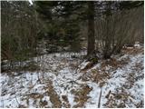 40
40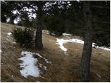 41
41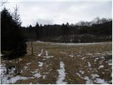 42
42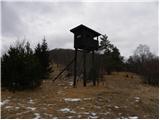 43
43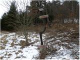 44
44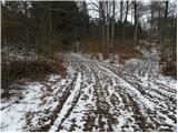 45
45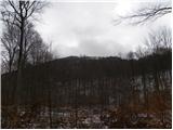 46
46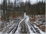 47
47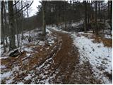 48
48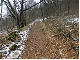 49
49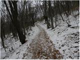 50
50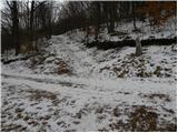 51
51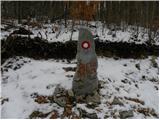 52
52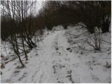 53
53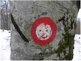 54
54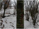 55
55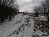 56
56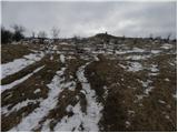 57
57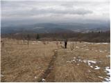 58
58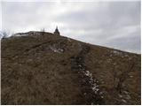 59
59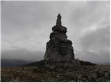 60
60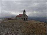 61
61 62
62
Discussion about the trip Slovenska vas - Sveta Trojica
|
| Acibujl14. 06. 2026 21:32:48 |
Start at the eco-museum of Pivka lakes in Slovenska vas. A nicely marked path leads across vast meadows full of flowers. While walking I find forest strawberries. Higher up views open up, but Petelinje jezero below is a large green meadow without water. At the top a pleasant breeze blows, I look around and slowly head back down the road. On the return I admire the work of the sculptor who decorated the Stations of the Cross along this road. I don't know, maybe the same artist carved the little angels on Vremščica and Nanos? I reach the crossroads where an inscription stands on a stone and arrows indicate the shortcut to the summit or along the road... there I go back down towards Pivka or Slovenska vas. At this time the meadows are full of various flowers and colorful butterflies...
|
|
|
To post a comment you must log in:
If you do not yet have a username, you must first
register.