Trebija - Koča na Ermanovcu (via Ermanovec)
Starting point: Trebija (443 m)
| Latitude/Longitude: | 46,09719°N 14,10159°E |
| |
Route name: via Ermanovec
Walking time: 2 h 15 min
Difficulty: easy marked way
Elevation gain: 525 m
Elevation difference along the route: 603 m
Map: Škofjeloško in Cerkljansko hribovje 1:50.000
Recommended equipment (summer):
Recommended equipment (winter):
Views: 3.322
 | 2 people like this post |
Access to starting point:
A) From Škofja Loka we drive towards Žiri. In the village Trebija (second village after Hotavlje, in between there is also Podgora) at the crossroad we turn right and immediately after the sports field left. We drive straight 400 meters, then after one of the houses we turn left over a small bridge. After 50 meters we will notice a parking lot on the left, where we park.
B) To the starting point we can also come from the direction of Žiri and Sovodenj.
Route description:
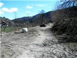
At the starting point, the trail blaze (picture 2) immediately points us ahead on an asphalt road towards the farm on the edge of the forest. The marked path goes otherwise past the farm, but we can save a minute of time by crossing the slope earlier on a visible footpath (picture 4). Here we soon come to the edge of the forest, where the trail blaze directs us to the left path (picture 7). This part of the path through the forest we only follow the well-visible and frequent blazes, which first bring us to one cart track, which we quickly leave to the left (picture 10), then to another cart track, which we follow and which brings us to an asphalt road (picture 13).
We walk uphill on the asphalt road a good half kilometer to the first houses (picture 16), then we bypass the house on the right, where the trail blaze directs us left across the meadow into the forest (pictures 17-19). Here the trail blaze and inscription direct us straight ahead, soon we come to a path junction where we must be very careful (picture 21)! On the tree a piece of bark has fallen off, which directed us to the left, but there is a carved arrow to the left. Here therefore we do not continue straight, but turn left and follow the cart track.
We soon come to the edge of the meadow, where the trail blaze (picture 25) along the wire fence (picture 27) directs us towards the nearby houses, where evidently the owner with the fallen tree (picture 28) has blocked access across his yard. Therefore we choose the right path along the orange fence and avoid the houses, a little further we come to an asphalt road (picture 29). We continue the path along the right road uphill, where after half a kilometer we arrive at a stable, the blazes direct us left along the macadam road (picture 31). We also follow this one for half a kilometer (and one right bend), then the trail blaze directs us right (picture 33) onto a cart track. We follow this, a little further we come to a meadow where we notice a sign that directs us left uphill (picture 36). After a short ascent we come again to a cart track (picture 38), from which we continue the path ahead across the hillock on the meadow and further past the weather station (picture 39) and the hunting observatory (picture 40). Here we enter the forest again, then we just follow the blazes, which after less than half an hour bring us to the summit of Ermanovec (picture 45).
Towards the hut we continue the path across the meadow (picture 46) and descend to the junction by the chapel (picture 47), from there onwards we follow the road through the forest (picture 49) and after ten minutes we arrive at the Dom na Ermanovcu (picture 50).

Photos:
 1
1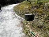 2
2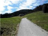 3
3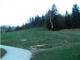 4
4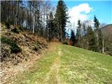 5
5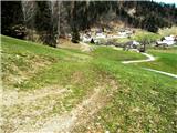 6
6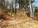 7
7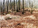 8
8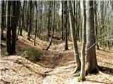 9
9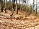 10
10 11
11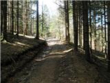 12
12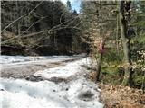 13
13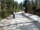 14
14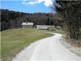 15
15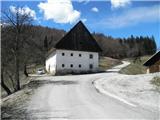 16
16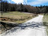 17
17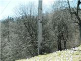 18
18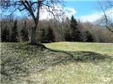 19
19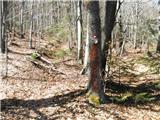 20
20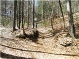 21
21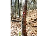 22
22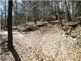 23
23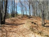 24
24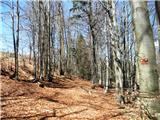 25
25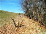 26
26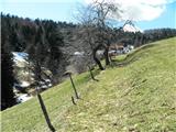 27
27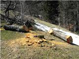 28
28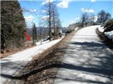 29
29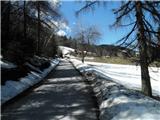 30
30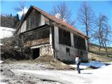 31
31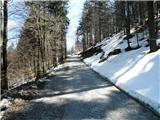 32
32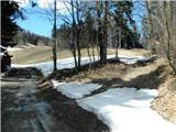 33
33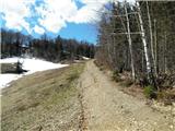 34
34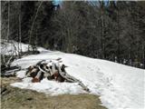 35
35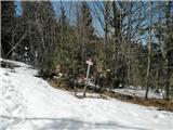 36
36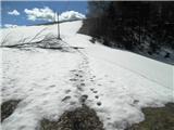 37
37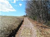 38
38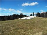 39
39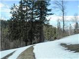 40
40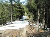 41
41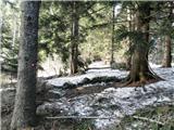 42
42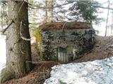 43
43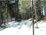 44
44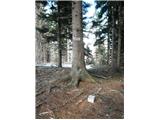 45
45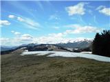 46
46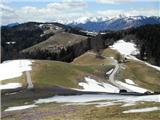 47
47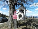 48
48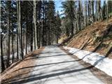 49
49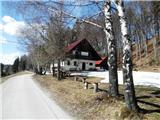 50
50
Discussion about the trip Trebija - Koča na Ermanovcu (via Ermanovec)
To post a comment you must log in:
If you do not yet have a username, you must first
register.