Val Aupa - Rifugio Grauzaria
Starting point: Val Aupa (720 m)
| Latitude/Longitude: | 46,47643°N 13,18512°E |
| |
Walking time: 1 h 20 min
Difficulty: easy marked way
Elevation gain: 530 m
Elevation difference along the route: 550 m
Map:
Recommended equipment (summer):
Recommended equipment (winter):
Views: 1.290
 | 1 person like this post |
Access to starting point:
Drive to Tablja (it. Pontebba) in Italy.
From Via Macroni street turn right to Via Zardini street. Immediately after driving through the underpass, turn left. Afterwards keep left or straight. There are markings for Val Aupa and for the city limit of Pontebba. From this sign, drive 14.4 km to Val Aupa (you will pass Studena Alta, the Cereschiatis pass and the villages Saps and Bevorchians).
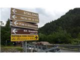
Soon afterwards, two roads branch off to the right, the first one before the bridge and the second one after the bridge. Turn right for the second one. To be sure, check the signs where you need to spot the sign "Rif. Grauzaria, sentiero n. 437" (the sign is in distinctive brown color). See a photo. Follow the paved road a few bends higher through a pine forest to the parking place.
Option 2: drive to Možac (it. Moggio Udinese) in Italy and turn for Val Aupa.
After Dordolla two roads branch off to the left (with a bridge between them). See pictures. Follow the paved road a few bends higher through a pine forest to the parking place.
Route description:
Go to the upper end of the parking place and head uphill. After a few steps along the asphalt road, turn left to a footpath following the signs. In the next few minutes keep to the right twice and arrive at a wider cart road. Follow it upwards. After a few minutes keep to the right again and follow the narrower footpath into the forest (left path leads to the village / paese Dordolla and Grauzaria). Follow the markings no. 437, while the footpath is leading you further west and gaining altitude. You may notice that pine trees grow only at the beginning of the trip, and that by this point they are replaced by beech trees. After a while, a small spring wets the path, but water here is not drinkable. Near an alpine pasture Flop (it.: Malga Flop) keep to the right (left path leads to the village / paese Dordolla and Grauzaria).
A footpath will lead you close by the pasture with some panoramic historic photographs (1941) that depict a former glory of now abandoned alpine pasture.
Follow the path into the forest again. Soon you will reach the treeline. Keep on the right path (while the left one branches off to the bivouac Feruglio). At this point it remains 30 minutes to reach the hut. A majestic view opens up (see photos). The path crosses the slopes below the mountain Cima della Sfinge (1847m). Further west is another mountain Cima dai Gjai (1916m). Worth noting is that between these two mountains, a steep marked path leads to the Portonat saddle. Cross various torrent beds and ascend the last 30 to 50 meters to the hut. Before this final ascent, a path branches off to the left to the Portonat saddle (1860m). To the right you will reach the hut. The hut is open in the summer time and it offers accommodation. There is also drinkable water outside.
Photos and the description are from June 2019.

Along the route: Malga Flop (980m)
Photos:
 1
1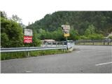 2
2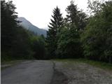 3
3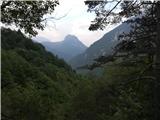 4
4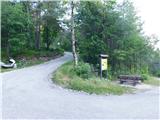 5
5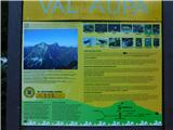 6
6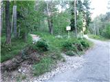 7
7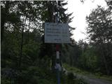 8
8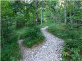 9
9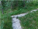 10
10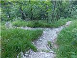 11
11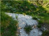 12
12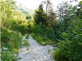 13
13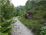 14
14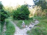 15
15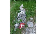 16
16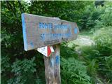 17
17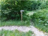 18
18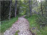 19
19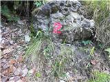 20
20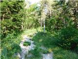 21
21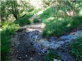 22
22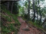 23
23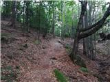 24
24 25
25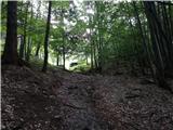 26
26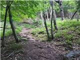 27
27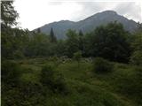 28
28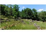 29
29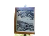 30
30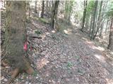 31
31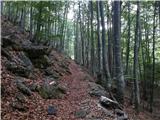 32
32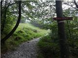 33
33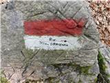 34
34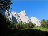 35
35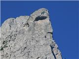 36
36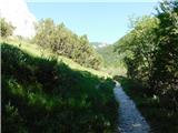 37
37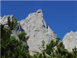 38
38 39
39 40
40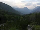 41
41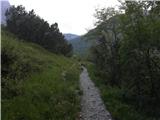 42
42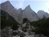 43
43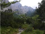 44
44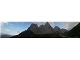 45
45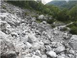 46
46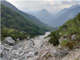 47
47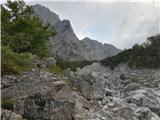 48
48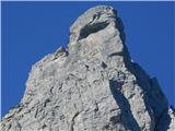 49
49 50
50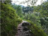 51
51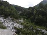 52
52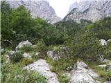 53
53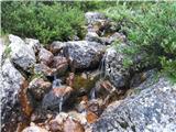 54
54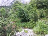 55
55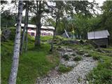 56
56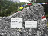 57
57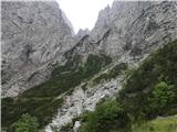 58
58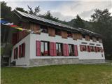 59
59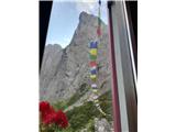 60
60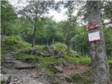 61
61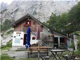 62
62
Discussion about the trip Val Aupa - Rifugio Grauzaria
|
| turbo20. 08. 2019 |
A much nicer and more comfortable route to the starting point is through Možac (Moggio Udinese)
|
|
|
|
| Pi_is_exactly_320. 08. 2019 |
Turbo thanks for the comment! I'll send the admin an update to the description regarding car access from this side this afternoon... 
|
|
|
To post a comment you must log in:
If you do not yet have a username, you must first
register.