Starting point: Soča (483 m)
| Latitude/Longitude: | 46,34250°N 13,66930°E |
| |
Walking time: 4 h 45 min
Difficulty: easy pathless terrain, partly demanding marked way
Elevation gain: 1669 m
Elevation difference along the route: 1700 m
Map: TNP 1:50.000
Recommended equipment (summer):
Recommended equipment (winter): ice axe, crampons
Views: 132
 | 2 people like this post |
Access to starting point:
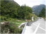
From Trenta or Bovec we drive to the village Soča, where we notice a church by the road. The start of the hiking trail is 200-300m from the church towards Trenta, where we notice direction signs by the road and a small parking lot for 2-3 cars.
Route description:
From the church in the village Soča we continue along the main road towards Trenta. After a little more than 200 meters we reach a small chapel, in front of which we notice red mountain direction signs that direct us left uphill towards Bavški Grintavec. The path immediately begins to ascend steeply through the forest and in the first part mostly crosses to the right. Higher up we reach a junction, where we continue left on the marked path. Just a few minutes later we step out of the forest onto partially overgrown meadows of the once extremely picturesque but today abandoned hamlet Lemovje, which with old houses and ruins today more resembles a mountain pasture.
Here the path from the hamlet V Klancu (path past the Žot farm) joins from the right, but we continue slightly left and follow the signs for Bavški Grintavec. On this section we initially walk along the edge of the meadow, then approach an overgrown ravine where there is a small spring that often dries up on dry days. The path soon turns right and then ascends steeply again through the forest and partly over steep grassy slopes. Higher up the path turns slightly left and the steepness begins to ease. This is followed by crossing the steep, mostly southern slopes of the peak Kol (1924 m), which leads us to Planina nad Sočo, where a hunting hut stands.
A few meters above the hunting hut we leave the marked path and turn left in a northwesterly direction. The trail on this section is mostly not visible. Through a short stretch of forest we reach a hunting observation post, where we continue right uphill. For a short time we ascend along the grassy slope upwards, then cross it to the left side and continue in a westerly direction. We continue through a stretch of forest where we can notice an otherwise poorly trodden path. We continue further in a westerly direction and when the forest ends and is replaced by dwarf pine we become more attentive, as at a poorly visible junction we stop crossing the slope towards the west and turn sharply right onto the also poorly trodden path.
Here we walk in a northeasterly direction mostly through dwarf pine. Further on the path becomes more obvious and on the way we cross two short steeper slopes and the path slowly turns north. Further on we follow the path or clearing through dwarf pine. Later we emerge from the dwarf pine onto a kind of plain with less dwarf pine where the scree ends.
Here we continue slightly to the right along the scree. Left leads a path towards Vrh Leh.
For some time we walk in a northeasterly direction on the right arm of the scree. We continue to follow the scree, which turns to the left side. Somewhat higher we continue left and reach the left arm of the scree. We ascend again along the scree, and higher when the scree ends we continue along a grassy valley towards the ridge. We reach the ridge at a small saddle slightly to the right of Vrh Ruš where we also reach the marked path that leads along the ridge towards Bavški Grintavec.
On the ridge we continue right on the marked path and then ascend along the ridge, which is initially still mostly grassy. Higher up the ridge becomes quite steep on the left northern side, so if we walk along the edge of the ridge some extra caution is needed. Further on the ridge becomes more rocky and leads us to Vrh Brda on which there is a cairn.

Photos:
 1
1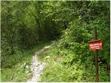 2
2 3
3 4
4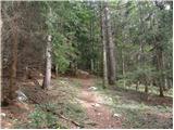 5
5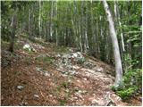 6
6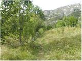 7
7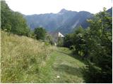 8
8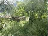 9
9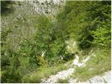 10
10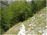 11
11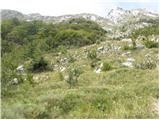 12
12 13
13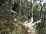 14
14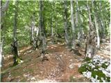 15
15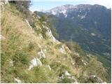 16
16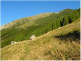 17
17 18
18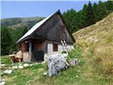 19
19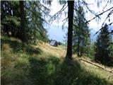 20
20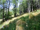 21
21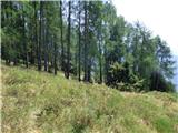 22
22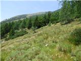 23
23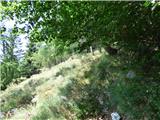 24
24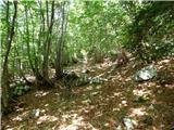 25
25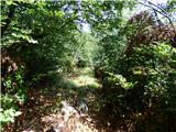 26
26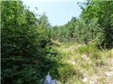 27
27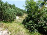 28
28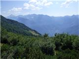 29
29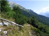 30
30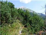 31
31 32
32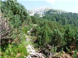 33
33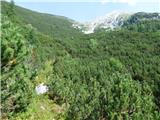 34
34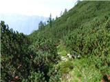 35
35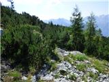 36
36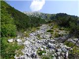 37
37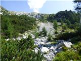 38
38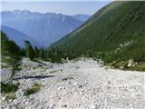 39
39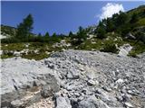 40
40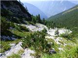 41
41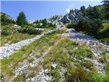 42
42 43
43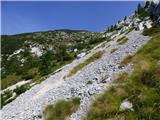 44
44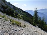 45
45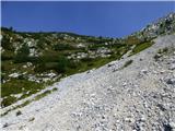 46
46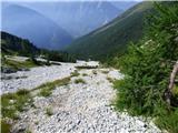 47
47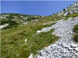 48
48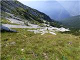 49
49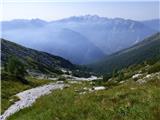 50
50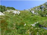 51
51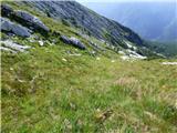 52
52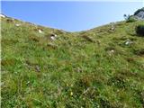 53
53 54
54 55
55 56
56 57
57 58
58 59
59 60
60 61
61 62
62 63
63 64
64 65
65 66
66 67
67
Discussion about the trip Soča - Vrh Brda
To post a comment you must log in:
If you do not yet have a username, you must first
register.