Sabathy-Hütte im Zirbenland - Scharfes Eck
Starting point: Sabathy-Hütte im Zirbenland (1620 m)
| Latitude/Longitude: | 47,08721°N 14,59999°E |
| |
Walking time: 2 h 30 min
Difficulty: easy marked way
Elevation gain: 744 m
Elevation difference along the route: 800 m
Map:
Recommended equipment (summer):
Recommended equipment (winter): ice axe, crampons
Views: 72
 | 1 person like this post |
Access to starting point:
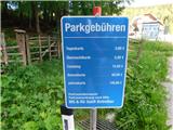
Leave the Austrian southern motorway A2 (Celovec ob Vrbskem jezeru / Klagenfurt am Wörthersee–Gradec / Graz) at the exit Šentlenart v Labotski dolini / Bad St. Leonhard im Lavanttal, then follow the signs for Zeltweg and Reichenfels. When we reach Austrian Styria, follow the main road to the settlement Obdach, where we turn left towards the centre of the settlement (if we miss the first exit, another entrance to the settlement is available immediately after the tunnel). Through Obdach follow the signs for the mountain hut Sabathy-Hütte im Zirbenland and the village St. Wolfgang. When at approximately 1220 metres above sea level we reach a right-hand bend where a chapel and a junction stand, continue on the left road following the signs for Sabathy-Hütte im Zirbenland. A few more kilometres of ascent follow on a somewhat narrower asphalt road and we arrive at the paid parking lot in front of the mentioned hut. The parking fee in July 2026 amounted to 3 eur.
Route description:
From the parking lot we walk to the Alpengasthof Sabathy hut in the Zirbenland region, bypass it on the left side and then follow the signs for Zirbitzkogel. The path ahead initially leads us past the Herz-Jesukapelle chapel, then ascends along the edge of the forest to a small junction below the Almrauschhütte hut.
We continue straight (right Almrauschhütte hut, 1 minute) and continue walking along the mountain road, which ascends for a few more minutes through the forest. Higher up we leave the forest and arrive at a junction by the Linderhütte hut.
We continue right towards Zirbitzkogel (straight and then left leads the path towards the Rothaidenhütte hut) and for a while return to the forest again. Higher up we cross the forest road twice more, always faithfully following the markings. After the last crossing of the road the forest begins to thin. The forest in this section is extremely interesting, as it partly consists of stands of Swiss pine trees (or Zirbe), after which the entire region is called Zirbenland (Swiss pines are called Zirbe or Zirbenkiefer in German). Higher up the terrain becomes increasingly alpine, and ahead we can admire the mighty Zirbitzkogel massif on the left and the Scharfes Eck summit on the right. Further on, to the left below the path we notice a small intermittent lake, while we continue ascending moderately for a few more minutes. When the path levels out, only a short and pleasant walk separates us from Lindersee lake, which lies at the head of the valley.
We bypass the lake on the left side, passing a container of mountain rescuers with equipment. Then we begin to ascend gradually and steeply along the northern slopes of Zirbitzkogel, where some snow patches may still remain in early summer. This is followed by approximately 45 minutes of fairly steep ascent, after which we reach the path connecting Zirbitzkogel with the neighbouring summit Scharfes Eck.
Here we continue right (left are the hut on Zirbitzkogel and the summit of the same name) and begin to descend gradually along a wide scenic path. A little lower a winter path branches off left downwards towards the Tonnerhütte hut, but we always follow the scenic ridge path connecting the two aforementioned mountains. When we already reach the slopes of Scharfes Eck, the path forks. We choose the slightly left path, while the slightly right one leads towards the Winterleitenhütte hut. Our path ascends along the southern ridge of Scharfes Eck, then turns slightly left and brings us to a gravel road. Along it we ascend in a minute or two to the scenic summit, where a larger civilian-military radar and communications complex stands. As this is a partially protected military facility, photographing the buildings and antennas from close up is prohibited, but we can still freely enjoy the wonderful panoramic views of the surroundings.
Starting point - Almrauschhütte 0:10, Almrauschhütte - Linderhütte 0:15, Linderhütte - Lindersee 0:55, Lindersee 0:55 - Scharfes Eck 1:10.
The description and images refer to the situation in July 2026.

Photos:
 1
1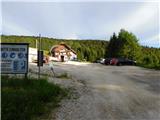 2
2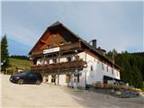 3
3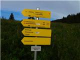 4
4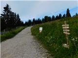 5
5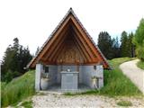 6
6 7
7 8
8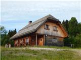 9
9 10
10 11
11 12
12 13
13 14
14 15
15 16
16 17
17 18
18 19
19 20
20 21
21 22
22 23
23 24
24 25
25 26
26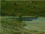 27
27 28
28 29
29 30
30 31
31 32
32 33
33 34
34 35
35 36
36 37
37 38
38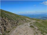 39
39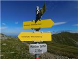 40
40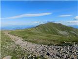 41
41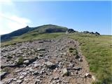 42
42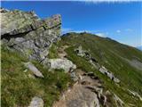 43
43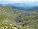 44
44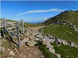 45
45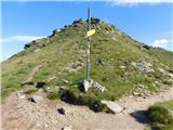 46
46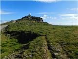 47
47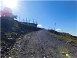 48
48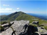 49
49
Discussion about the trip Sabathy-Hütte im Zirbenland - Scharfes Eck
To post a comment you must log in:
If you do not yet have a username, you must first
register.