Koča pod slapom Rinka - Kranjska koča na Ledinah (čez Križ)
Starting point: Koča pod slapom Rinka (1010 m)
| Latitude/Longitude: | 46,36960°N 14,59860°E |
| |
Route name: čez Križ
Walking time: 4 h 20 min
Difficulty: very difficult marked way
Elevation gain: 690 m
Elevation difference along the route: 1125 m
Map: Kamniške in Savinjske Alpe 1:50.000
Recommended equipment (summer): helmet, self belay set
Recommended equipment (winter): helmet, self belay set, ice axe, crampons
Views: 148
 | 2 people like this post |
Access to starting point:
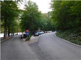
Drive to Logarska dolina, then follow the main road towards the head of the valley, where we park at the parking lot at the turning point near Bara Pod slapom, also known as Koča pod slapom Rinka.
Entry with a motor vehicle into Krajinski park Logarska dolina requires payment of an entry fee or ecological tax, which is 10 € for a passenger car (7 € for motorcycles, 20 € for vans). The fee is collected during the tourist season (from spring to the end of October) and also applies to electric vehicles. Payment of the tax includes the use of all parking lots within the valley. Entry is free for pedestrians and cyclists.
The current price list is available on the official website of Krajinski park Logarska dolina.
Route description:
From the place where we parked, we first walk to Bara Pod slapom, then head onto the marked path, along which numerous mountain destinations are indicated. We continue along the mountain trail through the forest (a slightly less steep tourist path leads a bit more to the left), which after a few minutes of ascent joins the tourist path, and along it we continue with an easy ascent to the junction near Slap Rinka.
We continue slightly left towards Frischaufov dom na Okrešlju (straight to the foot of Slap Rinka and Orlovo gnezdo), where a little further we cross Savinja over a wooden bridge. It then sinks into the gravel bed, and immediately after the bridge, looking to the right, we get a nice view of Slap Rinka.
Further on, we begin a steep ascent along a well-maintained and cared-for path, which higher up turns right and passes under the walls, where there is a risk of falling rocks. Here, with the help of safety equipment, we ascend transversely to the right, then cross Savinja over a footbridge just above the mouth of Slap Rinka.
The path then leads for some time along the picturesque Savinja, where a few more safety features help us for easier progress, and higher up the slope levels out. Next follows crossing the Savinja riverbed, which at this section has almost no water, then we arrive at the marked source of Savinja.
After the source, the path enters the forest, through which we ascend moderately to steeply, higher up it levels out and forks.
We continue right towards Kamniško sedlo, Turski žleb, Savinjsko sedlo and Mrzla gora (straight leads the path to Frischaufov dom na Okrešlju – two minutes, from where all the mentioned paths also lead). From the forest we then step onto the grassy plain Okrešelj, from which a magnificent view of the surrounding mountains and their walls opens up.
Here a path quickly joins from the left, leading past Frischaufov dom, and slightly to the left branches off a demanding mountain path towards Kamniško sedlo. We continue right towards Turski žleb, Savinjsko sedlo and Mrzla gora. The path returns to the forest again and a little further crosses a regulated torrent, then leads us to another torrent. We walk along it for a short time, then continue the path beside it, where we encounter the next junction.
We head slightly right towards Mrzla gora and Savinjsko sedlo. To the left branches off the path towards Turski žleb, beside which stands a boulder with memorial plaques to rescuers who perished in a tragic accident during a rescue exercise in June 1997, as well as others who died in the surrounding mountains (it is only a minute's walk to the boulder). Further on we ascend through a picturesque landscape surrounded by sparse larch forest, called Mrzli dol. Higher up we leave the small valley and head slightly left onto the scree slopes below Rinkami. Here we ascend transversely to the right, then cross a mighty torrent gully behind boulders. On the other side of the gully we see a large marking showing the correct direction. At the foot of the wall we then ascend transversely along a steep and in some parts slippery slope. When the terrain levels out, a crossing to the right follows over another torrent, then through a belt of sparse dwarf pine we ascend to the next junction.
We continue left towards Savinjsko sedlo (slightly right branches off the path to Mrzla gora) and from a short grassy section we again enter scree.
Here the path forks once more, and we choose the left, very demanding path towards Češka koča and Ledine via Križ (slightly right Savinjsko sedlo).
From the junction the path ascends along scree to the entrance of the climbing section, where we first progress along a gravelly slope. Then the path turns slightly right and, along a steel cable and with the help of a few pegs, crosses steep slopes in a gentle ascent. The path further turns slightly left, ascends along a nice passage with the help of pitons and steel cables, then several more times crosses overhanging slopes along the cable. Later it leads us to a very steep gully, along which we first ascend vertically on pegs, then continue steeply upwards along the cable. Further on we also ascend very steeply several times along gullies, then we arrive at the saddle Križ, from which a view towards Ledine opens up.
From the saddle follows a descent along a crumbly gully, where the steel cable helps us, then we arrive at a marked junction.
We continue slightly right towards Ledine (slightly left continues the very demanding secured climbing path to Koroška Rinka) and quickly descend to the scree, along which we continue the descent. When we leave the scree area, the path continues through more grassy terrain, which lower down leads us to the place where we join an easier path leading via Jezersko and Savinjsko sedlo.
We continue following the signs for Ledine and descend. Lower down some dwarf pine appears along the path, and the path begins to descend transversely to the right. A rather steep descent follows, then we arrive at a short demanding section, where with the help of a steel cable we cross an exposed slope. After the well-secured section the slope levels out, and on the right we soon see the mountain rescue hut, in front of which there is a bench with a table where we can rest.
The path continues to descend gradually and leads us to a junction, where a climbing path (Rudijeva vertikala) branches off sharply to the right to Velika Koroška Baba. A few more minutes of easy walking follow and through a sparse belt of larch forest we reach Kranjska koča na Ledinah.
Starting point - Slap Rinka 0:15, Slap Rinka - Izvir Savinje 0:35, Izvir Savinje - Frischaufov dom na Okrešlju 0:20, Frischaufov dom na Okrešlju - junction at the memorial 0:15, junction at the memorial - turn-off for Mrzla gora 1:00, turn-off for Mrzla gora - turn-off for Križ 0:05, turn-off for Križ - Križ 1:00, Križ - junction below Jezersko sedlo 0:20, junction below Jezersko sedlo - turn-off for Rudijeva vertikala 0:25, turn-off for Rudijeva vertikala - Kranjska koča 0:05.

Photos:
 1
1 2
2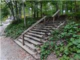 3
3 4
4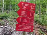 5
5 6
6 7
7 8
8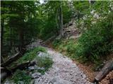 9
9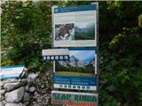 10
10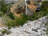 11
11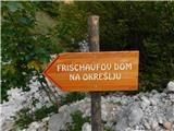 12
12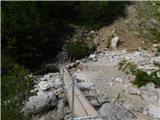 13
13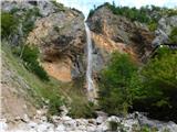 14
14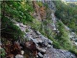 15
15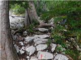 16
16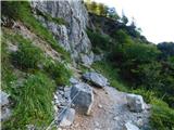 17
17 18
18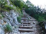 19
19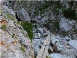 20
20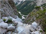 21
21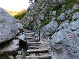 22
22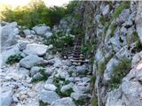 23
23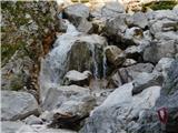 24
24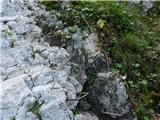 25
25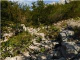 26
26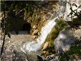 27
27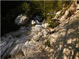 28
28 29
29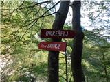 30
30 31
31 32
32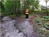 33
33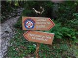 34
34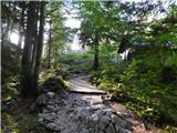 35
35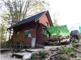 36
36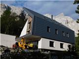 37
37 38
38 39
39 40
40 41
41 42
42 43
43 44
44 45
45 46
46 47
47 48
48 49
49 50
50 51
51 52
52 53
53 54
54 55
55 56
56 57
57 58
58 59
59 60
60 61
61 62
62 63
63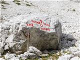 64
64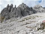 65
65 66
66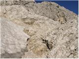 67
67 68
68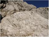 69
69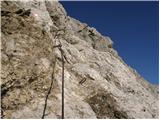 70
70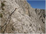 71
71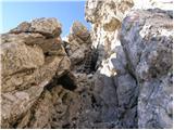 72
72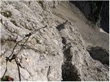 73
73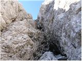 74
74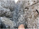 75
75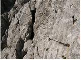 76
76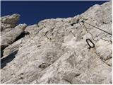 77
77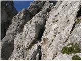 78
78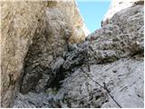 79
79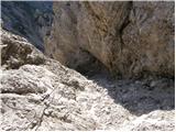 80
80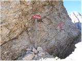 81
81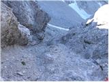 82
82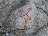 83
83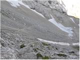 84
84 85
85 86
86 87
87 88
88 89
89 90
90 91
91 92
92 93
93 94
94 95
95 96
96 97
97 98
98 99
99 100
100 101
101 102
102 103
103 104
104
Discussion about the trip Koča pod slapom Rinka - Kranjska koča na Ledinah (čez Križ)
To post a comment you must log in:
If you do not yet have a username, you must first
register.