|
| mavi1223. 03. 2025 15:52:35 |
Haha exactly that minutes and the "genial" ideas from it I had in mind yeah 
| (+2) |  | |
|
|
|
|
| Stefano Bruni24. 03. 2025 10:28:57 |
Good morning, please tell me if the winter room of Zasavska hut at Prehodavci is always open and accessible (no keys needed). Many thanks Stefano
| (+1) | | |
|
|
|
|
| lynx24. 03. 2025 11:52:08 |
Usually it is, but I don't have official info to say "always".
| (+2) | | |
|
|
|
|
| sebo30630. 03. 2025 17:42:28 |
Of course it's always open. But not necessarily empty. Now the magistrala is hiked and it's often full to the end.
| (+3) | | |
|
|
|
|
| S.Maja31. 08. 2025 20:42:34 |
Sunday 31.8.2025
Start: Rudno polje
Over Studorski preval, turn into Velska dolina already one junction before Vodnikov dom, past Dolič to Kanjavec summit and Kanjavec west summit, descent to Hribarice saddle into Velska dolina, this time past Vodnikov dom back to Rudno polje.
The path is without peculiarities and well marked.
But quite long 
On the summit all alone
| (+5) | | |
|
|
|
|
| lijaneja19. 09. 2025 12:28:10 |
This year I hurried with Kanjavec, as I usually visit it in October, or even November. Caught a fantastic day, which was noticeable also at the parking in Krma, as already at six I hardly found a spot. For less than half an hour I light the path with headlamp, to Malo polje, where I turn left, greet sixteen people, I think none has celebrated Abraham yet. Next two thirds of the path (except at Vodnik and on Kanjavec summit) I see no one else. Obviously markacists were recently at work, as at Malo polje there's a signpost to Bohinjska vratca, and the path in the forest section is nicely cleared. After tea and changing shirts at Vodnik I head towards Velska dolina via upper path, up to Hribarice pass walking in shade. Short stop, last two hundred meters up, at eleven I'm already hanging wet clothes on warm rocks. Jump to the meter higher west summit and take some pics there too. Enjoy endless views, fold poles, and head to Dolič to greet colleague's grandson working in kitchen. There one would gladly stay, as it's pleasantly warm, no wind at all. Long return awaits via Velska dolina, reach Vodnikov dom via Veleg polje, where marmots have paradise. Still last 300m ascent awaits, but no mood for planned Vernar. Pack sunglasses and 'arafat', as I see sun again only in Kurja vas...
 1  2  3  4  5  6  7  8  9  10  11  12  13  14  15  16  17  18  19  20  21  22  23  24  25  26  27  28  29  30  31  32  33  34  35  36  37  38  39  40  41  42  43  44  45  46  47  48
| (+11) | | |
|
|
|
|
| bo_zl22. 09. 2025 16:59:01 |
Please answer: on picture 44 is? Thanks LP
|
|
|
|
| lijaneja22. 09. 2025 17:47:50 |
Sorry, 'bozl', because I didn't write it, I've mentioned it several times on this page already, so I was embarrassed not to repeat too much, intentionally omitted the name. From the north side easy access and anyone can reach it.
| (+1) | | |
|
|
|
|
| bo_zl23. 09. 2025 16:59:03 |
Thanks to both: blazek33 and lijaneja
Checked access descriptions and it's already on the list for next season. For this year afraid days are too short.
LP
|
|
|
|
| Tomco2. 08. 2026 23:12:38 |
| (+1) | | |
|
|
|
|
| docepe23. 08. 2026 06:30:22 |
Is the junction for Komar marked at least with a cairn, because last year the junction wasn't marked at all? We placed a cairn.
|
|
|
|
| Bandzo3. 08. 2026 06:49:29 |
No, the turnoff for Komar is not marked, nor is there a cairn, I looked carefully to see if I could spot it anywhere. The only orientation was "straight along the path towards the waterfall" (photo 2 - taken exactly at the junction).
|
|
|
|
| Hammond3. 08. 2026 14:05:05 |
Why is Komar marked, but no signpost?
|
|
|
|
| docepe23. 08. 2026 14:24:12 |
Sometimes there was "over Komar" written on the stone. The stone has disappeared. From the upper side the turnoff is nicely marked with directional signs.
| (+2) | | |
|
|
|
|
| Bandzo3. 08. 2026 15:07:19 |
Although I wouldn't use the path over Komar for descent, the turnoff to it is indeed nicely marked on the descent from Dolič.
But it is true that the stone with the inscription is much larger than the one that disappeared in the valley
 1
|
|
|
|
| Hammond4. 08. 2026 08:07:40 |
Thanks for the answer. Mainly I had in mind the lower fork, where that path towards the wall doesn't necessarily look like something that could lead to Dolič.
|
|
|
|
| mirank4. 08. 2026 12:56:49 |
I don't believe that the stone in the valley has disappeared since it was too big. I would rather say that grass has overgrown it, because there were some variants of the path trodden in the main direction. If you chose the most trodden one you could easily overlook it, but the chapel in the rocks to the right of the ravine with the waterfall is unmistakable.
| (+3) | | |
|
|
|
|
| lijaneja24. 09. 2026 11:29:00 |
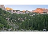
Long tour from Krma – Kanjavec and Mišelj ridge.
Quarter to six, Vito and I set off from the dark, cold and full parking lot in Krma. The only mandatory equipment were woolen gloves; otherwise the air was suitable for fast walking, weather prospects excellent. In a good two hours I was already having tea at Vodnik. On the string among the hanging sheets I hang the wet shirt, then by the upper path we set off into Velska valley. The path already walked so many times was even more beautiful in company; the late-September sun was no longer bothersome. In the last part to the saddle Čez Hribarice we shorten the route over steep scree; from there we have only 23 minutes to the main summit of Kanjavec. After a longer pause we continue along the ridge to the western summit and over Teme to Poprovec 2495 m. The path had no special features, but I regretted that we did not return the same way at least to the western summit; instead we almost immediately went down and fought with sinkholes and scree to get back to Hribarice.
There we start the second part of the tour; after a short but steep scree slope we climb to the highest point under the wall of Mišeljski konec. Vito suggests we take the right gully (because I have not been up here yet) and we were right. A single pleasure of climbing a good grade 2 with excellent holds, but unfortunately the route is extremely short. We stand on the highest point of the Mišelj ridge, which stands out so markedly when viewed from Bohinjska Bistrica. Almost the whole time we follow the ridge; only once do we need to go a little right beneath it. On a short ridge section that needs to be straddled, lightning recently struck and strongly loosened the rocks, so one must be especially careful there. Still Mišeljska glava and 'Na Nizkem'; at the saddle with Mišelj peak I leave the rucksack, because I suggest to Vito, the young alpinist, that he descend via Koštrunovec while I go down steep grass into Mišelj valley, since after the long tour I no longer felt I could guarantee 100 percent concentration for a direct descent. After a short description of the descent I leave my colleague, walk to the rucksack and descend by manageable grass and scree. At least a quarter of a century has passed since I last walked up here and nothing matched my memory. I realized that I had turned left too early and found myself almost on Koštrunovec. Several times up, down, steep dwarf pine, grass, rocks; finally I break through to Planina pod Mišelj vrhom, where I was safe. Still a walk across Malo polje to Vodnik, last change of clothes and hydration; soon Vito joins me too. I put the battery in my pocket thinking I would need it, but my legs carried me to the car before sunset...
 1 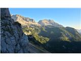 2 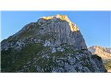 3  4 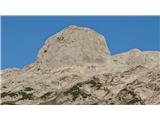 5 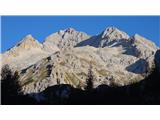 6 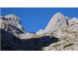 7 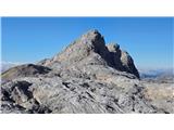 8 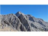 9 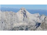 10 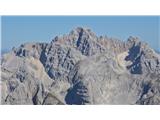 11 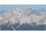 12 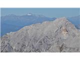 13  14 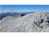 15 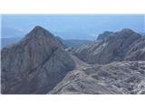 16 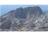 17 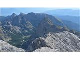 18 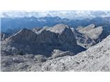 19 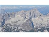 20 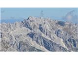 21  22  23 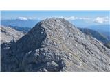 24 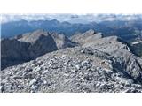 25  26 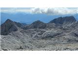 27 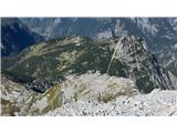 28 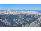 29 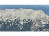 30 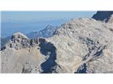 31 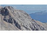 32 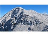 33 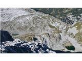 34 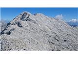 35 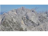 36 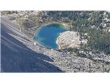 37  38 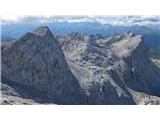 39 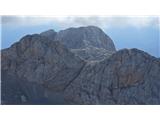 40 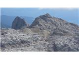 41 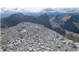 42 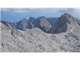 43 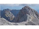 44 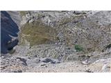 45 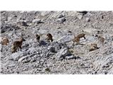 46 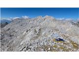 47 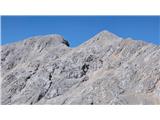 48 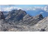 49 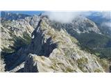 50 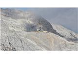 51 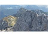 52 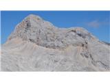 53 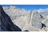 54 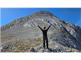 55 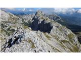 56  57 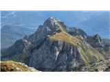 58 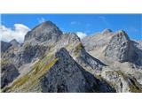 59 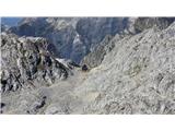 60 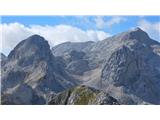 61 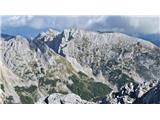 62  63 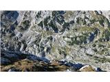 64 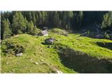 65 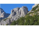 66 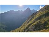 67
| (+15) | | |
|
|
|
You must log in to post a comment:
If you do not yet have a username, you must first
register.