| pg15. 09. 2026 16:13:52 |
Mont Blanc (4807 m):
Persistence, success and tragedy on the highest mountain of Western Europe
Last week my partner and I spent time in France to celebrate my 40th birthday, where after a first interrupted attempt at the beginning of the week we reached the highest point in the Alps for the second time.
The plan was a bit more ambitious - we were thinking of Mont Velan or even Grand Combin as acclimatization tours - but the availability of huts and weather conditions did not allow it, so we immediately headed towards Mont Blanc; although our previous wish was the route of the three peaks, due to unsuitable conditions on other routes we decided on the French normal route. Due to the disastrous forecast for Wednesday we had to postpone the planned ascent from Tete Rousse, two days before that we found new accommodation in the recently reopened sinfully expensive Goûter hut (basic overnight 70 EUR (-5 with mountain club card), dinner 53 EUR, breakfast 21 EUR), no running water for washing, while a liter bottle costs 7 EUR - but they open the kitchen for us, because one can calmly prepare a brought meal).
The main problem of the ascent to the Goûter hut is still the extremely dangerous crossing of the Grand Couloir [couloir>, because of which the huts on the normal route were closed for two weeks in August, but the situation in September with snowfall improved enough that the municipal authorities reopened the huts. The crossing is short - it is only a half-minute passage - and undemanding, but mentally exhausting, as was especially evident on the second attempt. In the continuation of the ascent we move on a not particularly steep terrain, where we climb with the help of cables or without them (mostly I, two places poor II).
The start of the ascent towards the summit took place in a calm and warm night, but after a bad hour of easy glacier walking the conditions quickly and surprisingly deteriorated, followed by a snowstorm and wind at 80-85 km/h, which drove us with a few other hikers into the Vallot bivouac (4362 m) somewhere halfway. There we waited almost three hours waiting for the expected improvement, which did not come; in complete whiteout we led another pair back to the hut and descended disappointed into the valley. At least as consolation we caught the penultimate train and a little earlier rode to the capital of Haute-Savoie, Annecy, where we spent the next few gloomier days, which we spiced up with an ascent of La Tourette (see post on the topic).
During our stay in Annecy on my 40th birthday we climbed the well-known and popular peak La Tournette, which rises like a mighty guardian above the attractive Lake Annecy (see separate post about this peak: https://www.hribi.net/trenutne_razmere/fra/la_tournette_2351_m_gorovje_bornes/10015/10123).
While walking we were thinking how to save the vacation in conditions that will change drastically after Wednesday's all-day rain or snowfall - do we climb the nearby Aiguille d'Argentière and Mont Dolent, the more distant Grand Combin or Mont Velan or even Ortler on the way home? We asked the appropriate services in Chamonix about the conditions on the Trois Monts route on Mont Blanc, which was our original wish, but received a warning and negative answer regarding the state of the route.
In the end the idea came that since we are already here and well acclimatized, let's try once more on the same route to the summit of the Western Alps. Fortunately we still got two places for Thursday overnight in the Goûter hut, Tete Rousse was completely booked.
Conditions changed drastically after Wednesday's front passage - the wall under Aiguille du Goûter, where the path to the hut leads and where on Sunday and Monday there was not even a handful of snow, was now almost entirely snow-covered and in a large part required climbing in crampons (which is otherwise usual for this ascent). A bigger problem was that Thursday's sun quickly melted the snow binding in the rocks of the upper part of the couloir, which represented an increased risk during the crossing. During our crossing everything still worked perfectly fine, but in the upper part of the wall, a good hour after our crossing of the key section, we saw a large avalanche in the couloir and heard terrible screams below us - we continued anxiously, at the hut we heard that unfortunately a person had died in it, at the place where there had already been quite a few - far too many - victims this year.
The next morning we started a little later than on Monday and quickly progressed past the Vallot bivouac and along the Bosses ridge. We reached the summit after about four hours, but progress on the final part of the ridge was made difficult by powerful gusts of wind in an otherwise extremely atmospheric morning that offered wonderful views. With the exception of the wind, which is a constant in this part, the conditions were excellent due to the newly fallen snow. That day we were among the first on the summit, but on the way back we met a considerable number of hikers, mostly with mountain guides.
After returning to the hut under the splendid backdrop of the play of sun and clouds we quickly descended across the wall under Goûter and with fear and a lump in the throat crossed the couloir, in which equipment and clothes were lying, and warned the ascending mountaineers and the appropriate services in Chamonix-Mont Blanc, which we visited the next day.
After visiting the mondane alpine resort on the way we also saw Martigny, the capital of this alpine landscape in the time of the Roman Empire, and the hospice of St. Bernard - but that perhaps already opens a new story around Mont Velan, Grand Combin and Mont Dolent, that peak so beloved by Kugy - once upon a time.
Finally a few dry facts:
- the ascent is justifiably rated PD on the French mountaineering scale: technically not overly demanding despite climbing under Aiguille de Goûter, but the entire tour, which is usually two days, is long and serious, with approx. 2400 m of elevation gain and considerable exposure and wind exposure in the upper part of the ridge. The initial part of the final ascent on the glacier is easy, the glacier is surprisingly little crevassed (you rarely see such an intact glacier on alpine four-thousanders), steep parts in the upper, later section do not exceed 35°. I would rate the ascent as half a grade technically and physically easier, but mentally more taxing than the recently completed route on the Dom;
- return ticket for the cogwheel train from Saint-Gervais-les-Bains, which takes us to 2412 m, costs 40 EUR; the alternative at this time is only a long ascent or descent into the valley (additional 1400-1800 m). The first train is at seven in the morning, the last at 16.13, so the ascent must be adjusted accordingly. It should also be taken into account that the couloir should always, if not almost necessarily, be crossed in the morning hours, as much as possible;
- currently only the normal route via Goûter is reasonably passable, the more attractive routes - the Italian normal route from Courmayeur or trois monts from Aiguille de Midi are this year mostly untracked and strongly discouraged due to heavily crevassed glaciers.
Enough - the ascent succeeded, even though it was marred by the tragedy of others, which reminded us of the untamed nature in an increasingly unstable environment.
 1 1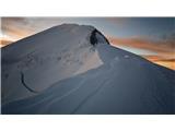 2 2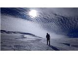 3 3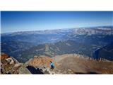 4 4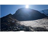 5 5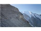 6 6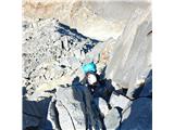 7 7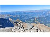 8 8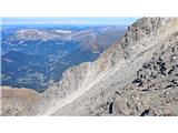 9 9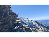 10 10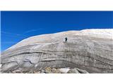 11 11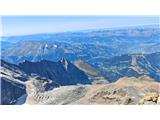 12 12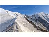 13 13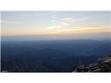 14 14 15 15 16 16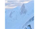 17 17 18 18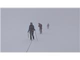 19 19 20 20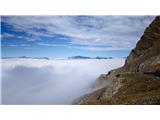 21 21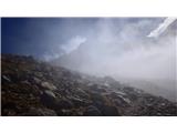 22 22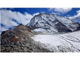 23 23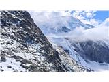 24 24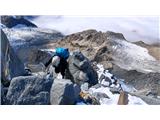 25 25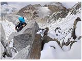 26 26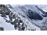 27 27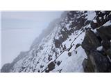 28 28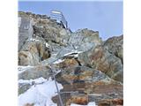 29 29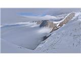 30 30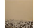 31 31 32 32 33 33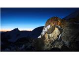 34 34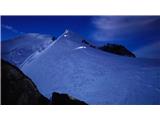 35 35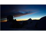 36 36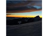 37 37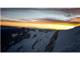 38 38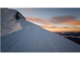 39 39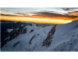 40 40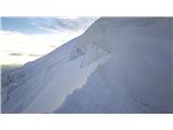 41 41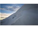 42 42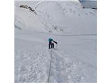 43 43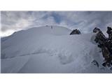 44 44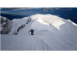 45 45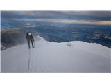 46 46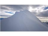 47 47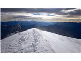 48 48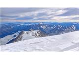 49 49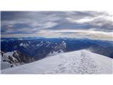 50 50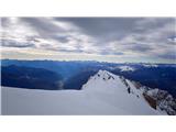 51 51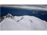 52 52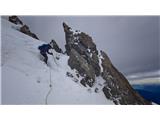 53 53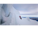 54 54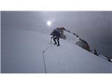 55 55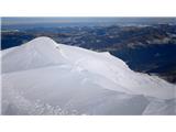 56 56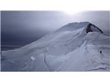 57 57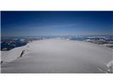 58 58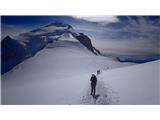 59 59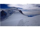 60 60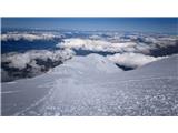 61 61 62 62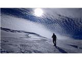 63 63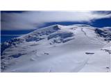 64 64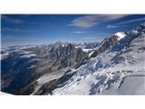 65 65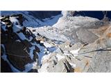 66 66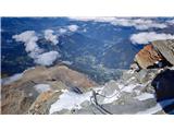 67 67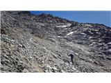 68 68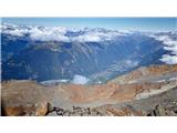 69 69 70 70 71 71 72 72 73 73
| (+21) |  | |
|
|