Kosmačev preval - Lengarjeva glava
Starting point: Kosmačev preval (847 m)
| Latitude/Longitude: | 46,43690°N 13,93080°E |
| |
Walking time: 3 h 30 min
Difficulty: easy unmarked way
Elevation gain: 651 m
Elevation difference along the route: 870 m
Map: Triglav 1:25.000
Recommended equipment (summer):
Recommended equipment (winter): ice axe, crampons
Views: 4.031
 | 1 person like this post |
Access to starting point:
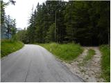
We leave the Gorenjska motorway at the Jesenice - west (Hrušica) exit and continue driving in the direction of Kranjska Gora. A little before the place Dovje, we leave the main road and continue driving left in the direction of Mojstrana and valleys Vrata, Kot and Krma. Still before we cross Triglavska Bistrica, signs for Radovna, Kot and Krma direct us to the left onto a somewhat narrower road which ascends past a few houses. The road above the place Mojstrana starts to ascend more steeply and past the TNP sign brings us to Kosmačev preval, where the road branches off to the right into the Kot valley. Here we park at an appropriate place by the crossroad.
Route description:
From the parking lot, we head onto a cart track which in a gentle ascent runs parallel with the road. At the beginning we continue on the right cart track, after two minutes of walking another cart track branches off to the left onto which we turn. At the crossings there are also cairns, which help us with orientation. Further the cart track ascends the slope straight upwards and later turns into a footpath which starts ascending steeply. The path is poorly visible, but smaller cairns help us. The path then turns a little to the right and brings us onto an indistinct small ridge. Here the path turns left and follows this small ridge straight upwards. The path soon brings us from the ridge onto steep slopes and ascends in zigzags to the main ridge. Here the path turns left once again and continues ascending through the forest. The steepness then eases for a short time, but the path soon ascends steeply again. The last part of the path towards the bivouac runs mostly on slopes above the Vrata valley or on the ridge. The path then flattens and on the right side we spot a smaller cottage. This is the bivouac on Črna gora.
From the bivouac we continue on the ridge and at first slightly descend. Further we then walk for a long time on the ridge through the forest and ascend and descend slightly several times. In doing so we also ascend some less known peaks, namely Predelov vrh, Nizka dolina and then Lengarjeva glava, where there is also a viewpoint from which the view towards the east opens for the first time. Before that we had been walking through the forest the whole time and therefore the view was very limited.

Along the route: Pri Turnih (1349m),
Črna gora (1350m), Predelov vrh (1460m), Nizka dolina (1357m)
Photos:
 1
1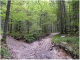 2
2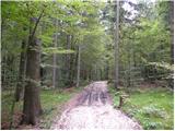 3
3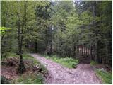 4
4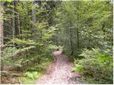 5
5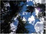 6
6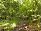 7
7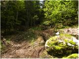 8
8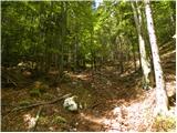 9
9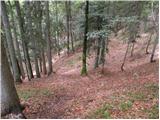 10
10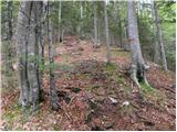 11
11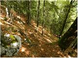 12
12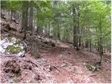 13
13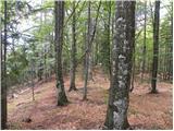 14
14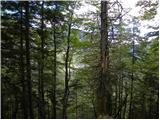 15
15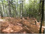 16
16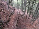 17
17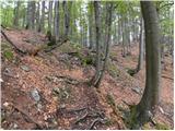 18
18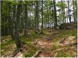 19
19 20
20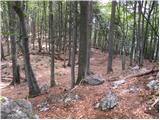 21
21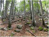 22
22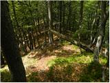 23
23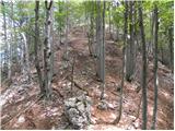 24
24 25
25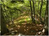 26
26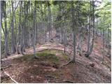 27
27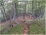 28
28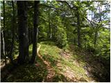 29
29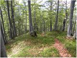 30
30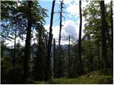 31
31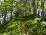 32
32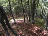 33
33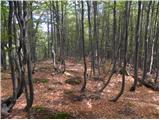 34
34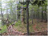 35
35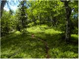 36
36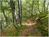 37
37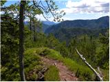 38
38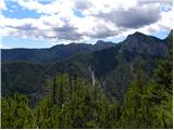 39
39
Discussion about the trip Kosmačev preval - Lengarjeva glava
|
| Loerst20. 02. 2019 |
Although photo no. 38 shows a nice viewpoint and for many that's the "summit", according to my observation the real summit, both on maps and de facto, is just a little further on, which is actually quite obvious on site and from where there is a nice view in all directions above the bushes.
|
|
|
To post a comment you must log in:
If you do not yet have a username, you must first
register.