Lenzanger - Rojacher Hütte
Starting point: Lenzanger (1550 m)
| Latitude/Longitude: | 47,08142°N 12,98469°E |
| |
Walking time: 3 h 30 min
Difficulty: easy marked way
Elevation gain: 1168 m
Elevation difference along the route: 1180 m
Map:
Recommended equipment (summer):
Recommended equipment (winter): ice axe, crampons
Views: 1.778
 | 3 people like this post |
Access to starting point:
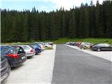
Through the Karawanks Tunnel, we drive to Austria, and then we continue driving on the Tauern highway. Further, we drive through the Katschberg tunnel and later also the Tauerntunnel, we follow the highway towards Salzburg (also Solnograd) only to the exit for Bischofshofen, from where we continue driving on a four-lane road towards the already mentioned town. From Bischofshofen we follow the signs for Zell am See through the valley by the river Salzach. At the end of the settlement Taxenbach we turn towards the settlement Rauris. Further, we drive through the Raurisertal valley through the settlements Rauris and Wörth. We then follow the ascending road all the way to the large parking lot Lenzanger. In the last part, the road is payable (9€ - August 2013).
Route description:
From the parking lot, we continue by following the signs »Naturfreundehaus« on the road which is further closed for traffic. The road which immediately after the gate becomes a macadam at first leads through the forest and brings us to a crossroad. Right slightly downwards leads the road towards the mountain pasture Grießwiesalm, and we continue slightly left on the road towards the mountain hut Naturfreundehaus.
The road then soon brings us out of the forest and leads us by the stream Scheidbach with beautiful views towards the summit Hoher Sonnblick. Here we come soon to the crossing where right over a bridge footpath 123 towards the notch Goldzechscharte and summit Hocharn branches off.
We still continue on the road and we are soon at a crossing again. Left leads the road towards the mountain hut Ammerhof, and we continue right and on a gentle road we soon come to the hut Naturfreundehaus.
At the mountain hut, we continue following the signs »Hoher Sonnblick, Schutzhaus Neubau«. The path brings us into the forest through which for some time we are ascending towards the south. Further, the path leads us past waterfall Barbarafall and from the path increasingly beautiful views starting to open up on the nearby peaks and valley Raurisertal.
Out of the forest we then come on grassy slopes where in the summer months livestock is grazing. Here signposts point us to the right and then follows a crossing towards the west. When we come near the stream, the path turns left again upwards and then for quite some time ascends on mostly grassy slopes.
Shortly before the hut, we come to a crossing where the path towards the mountain hut Niedersachsenhaus branches off to the left. At the crossing, we continue right and only a short ascent follows to the mountain hut Neubau, which we already see in front of us.
From the mountain hut, we continue towards the west following the signs »Hoher Sonnblick«. Right then circular path Tauerngold-Rundwanderweg branches off, by which we can see attractions connected with gold mines in this area. After that, the path soon crosses a stream and brings us to a marked crossing. Left continues the path Tauerngold-Rundwanderweg towards the glacier, and we continue slightly right towards the mountain hut Rojacherhütte and summit Hoher Sonnblick.
From the crossing, the path is then for some time ascending on slopes on the eastern side of the peak Hoher Sonnblick. Higher, the path turns a little left towards the south and soon a view opens up on the glacier Goldbergkees. Here then the path towards the notch Niedere Scharte branches off to the left, and we continue slightly right and there follow a few ascents on a rocky slope to the hut Rojacher Hütte.

Photos:
 1
1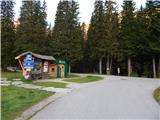 2
2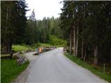 3
3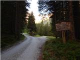 4
4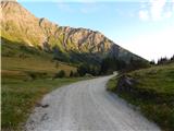 5
5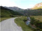 6
6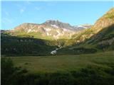 7
7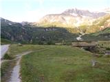 8
8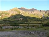 9
9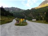 10
10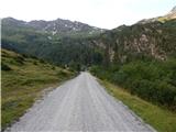 11
11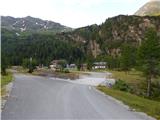 12
12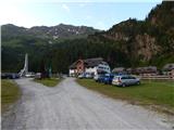 13
13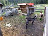 14
14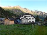 15
15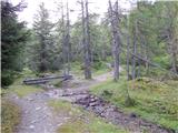 16
16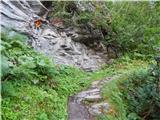 17
17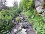 18
18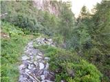 19
19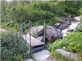 20
20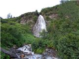 21
21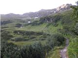 22
22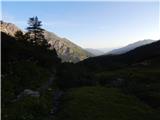 23
23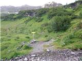 24
24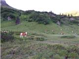 25
25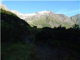 26
26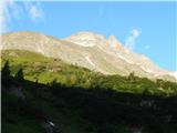 27
27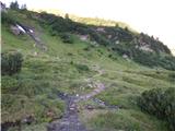 28
28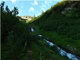 29
29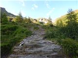 30
30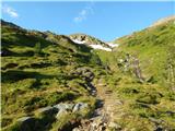 31
31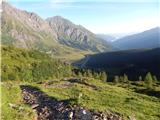 32
32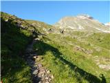 33
33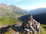 34
34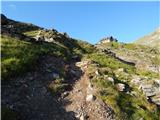 35
35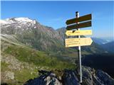 36
36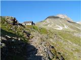 37
37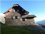 38
38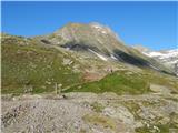 39
39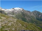 40
40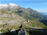 41
41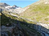 42
42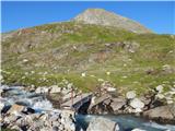 43
43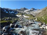 44
44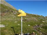 45
45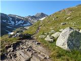 46
46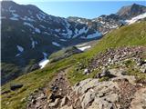 47
47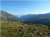 48
48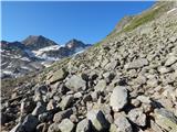 49
49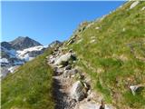 50
50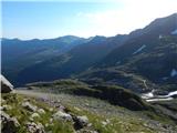 51
51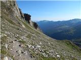 52
52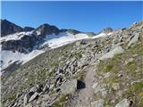 53
53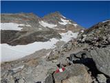 54
54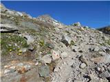 55
55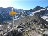 56
56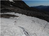 57
57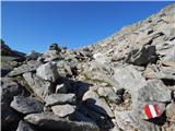 58
58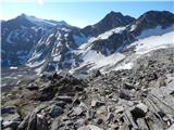 59
59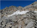 60
60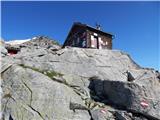 61
61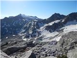 62
62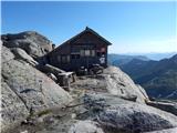 63
63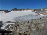 64
64
Discussion about the trip Lenzanger - Rojacher Hütte
To post a comment you must log in:
If you do not yet have a username, you must first
register.