Studenice - Formila na Boču (on road and mountain path from Makole)
Starting point: Studenice (260 m)
Starting point Lat/Lon: 46.2999°N 15.6138°E 
Path name: on road and mountain path from Makole
Time of walking: 1 h 10 min
Difficulty: easy marked way
Difficulty of skiing: no data
Altitude difference: 364 m
Altitude difference (by path): 460 m
Map: Posavsko hribovje Boč - Bohor 1:50.000
Access to starting point:
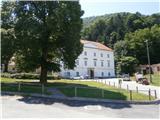
A) From the direction Maribor we leave the highway in Slovenska Bistrica, where signs point us to Poljčane. In the center, we turn left in the direction of Studenice and after about three kilometers, we reach Studenice, where we continue right through a bridge over the river Dravinja into the main part of the settlement. In front of the monastery complex we safely park.
B) From the direction Ljubljana we leave the highway in Slovenske Konjice and is through Žiče, Loče and Zbelovo we get to the center of Poljčane. In the center, we turn right in the direction of Studenice and after about three kilometers, we reach Studenice, where we continue right through a bridge over the river Dravinja into the main part of the settlement. In front of the monastery complex we safely park.
C) From the direction of Ptuj, Kidričevo through Ptujska gora, Majšperk and Makole we get to Studenice, where we continue left through a bridge over the river Dravinja into the main part of the settlement. In front of the monastery complex we safely park.
Path description:
After a short sightseeing of the main part of Studenice, we continue left from the monastery complex by the presbytery. In the passage/underpass between the presbytery and winegrowers association St. Martin Studenice we continue upwards on a cart track by a rocky wall and nun cemetery. We soon reach the source of the stream Topli potok left from the path and on a narrow footbridge we cross the stream. We continue upwards, now on the old Roman road which through long centuries retained the original form of the path higher into Boč. When we get to a forest road we turn left, right leads the road towards the settlement Podboč or Zgornje Poljčane.
We follow the forest road and left by the path is a turn-off for hunting cottage LD Poljčane, and we continue straight. At the first larger crossroad/crossing we continue straight or left, right leads the path on the road towards Formila, tower on Boč... At the crossroad on the right there is orientation point, a smaller abandoned concrete forestry storage. We continue on the road, left by the path there is a smaller partly abandoned wooden structure below the road and a little further on the left a viewpoint from where the view opens up towards the lower lands and towards Pohorje...
Further, we soon reach the crossing and hiking path from Makole. It isn't marked with signposts and we continue sharply right upwards, now on a forest mountain path, which is well marked with blazes. Right by the path there will be soon an iron hunting observatory, further, the path flattens a little at the midway ridge below Kisovec. Right from the path there is another, this time a wooden hunting observatory and we soon go downwards on a few years ago cutted forest part. Further, we go right on a wider forest road and then we are almost at Formila.
We reached Formila and then follows a short extension to a crossing, left for partisan hospital, Gaveza, chapel Grilova kapela, Plešivec...and right for mountain hut Dom na Boču. The crossing is also the juncture with the path Štajerska - Zagorje or,,B,, - path Bratska pot.
The path measures in distance around 5700 meters, 460 positive altitude meters and 50 negative altitude meters.
Pictures:
 1
1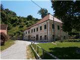 2
2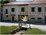 3
3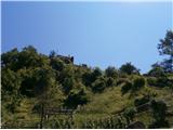 4
4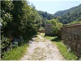 5
5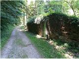 6
6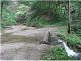 7
7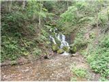 8
8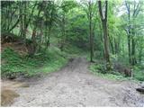 9
9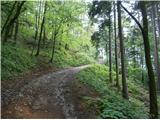 10
10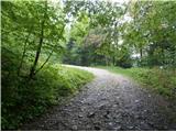 11
11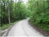 12
12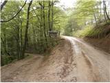 13
13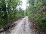 14
14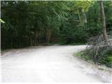 15
15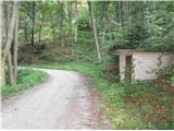 16
16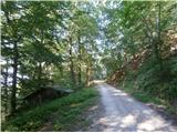 17
17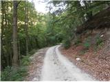 18
18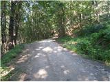 19
19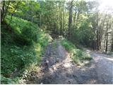 20
20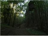 21
21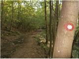 22
22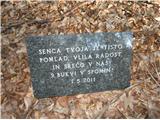 23
23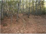 24
24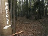 25
25 26
26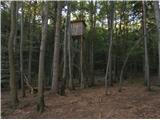 27
27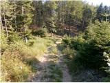 28
28 29
29