|
| B220. 01. 2023 08:31:09 |
| (+2) |  | |
|
|
|
|
| darinka420. 01. 2023 09:10:42 |
It's quite simple. As long as hikers pay parking fees, they'll cash in. Just like Bojan says, go where they don't rob you.
| (+6) | | |
|
|
|
|
| lubadar20. 01. 2023 10:33:12 |
I live at the start of a hiking trail, as long as I allowed parking around the house and other buildings, we often had everything parked up so sometimes couldn't even get out of the house, full of thrown trash, and everything pissed and shat behind every corner.
Since I no longer allow parking, I've solved all these problems with that!
| (+13) | | |
|
|
|
|
| lino20. 01. 2023 15:30:44 |
Lubadar, in your case I'd just repeat the old saying - kindness is an orphan. 
|
|
|
|
| pohodnik5520. 01. 2023 16:38:44 |
If pet owners have a duty and obligation to always carry a bag for excrement, it would be right to legislate the same for hikers, since some among us are real slobs. It's true what lubadar wrote, that around parking lots everything is shat and pissed and that's part of hiking "culture" too. It would be right to put mobile toilets at all parking lots, whether paid or not. I'm curious what comments I'll get. And nice hiking greetings!
| (+3) | | |
|
|
|
|
| Jusk20. 01. 2023 16:55:56 |
Ok I won't say about parking lots, but if I suddenly need to go somewhere in the forest then culture up or down, you go off the path and do it, cover with branches, leaves, rock maybe. But I won't carry bags with me like for dogs at least at paid parking lots there could be a dixie, since it would be included in the fee. But that's already often too big a cost at least at paid parking lots there could be a dixie, since it would be included in the fee. But that's already often too big a cost
| (+5) | | |
|
|
|
|
| mirank20. 01. 2023 18:10:32 |
It must really be extreme and a clean space around to get me into a dixie When you look inside a couple of times it puts you off. When you look inside a couple of times it puts you off.
| (+3) | | |
|
|
|
|
| Kafetarca20. 01. 2023 20:11:30 |
One such toilet is at the starting point at Ravenski kočni and it's really not that exciting
|
|
|
|
| nina420. 01. 2023 20:44:34 |
But the one on Srednji vrh, which is more ecological, is a very good solution. Also more aesthetic for the environment than the dixie and without unpleasant smells, unless the packers are at work.
|
|
|
|
| ločanka27. 02. 2024 13:46:29 |
Skadanščina -SLAVNIK-GRMADA-MALA VRATA-Skadanščina
I knew that a lot of time had passed since my last visit to Slavnik, but that almost nineteen years had gone by since then, I only realized today. I got a bit thoughtful.
We decided to do the ascent from the village Skadanščina, which was something new for both of us. And what a nice name it sounds, it makes you even more curious. Already from the trip to V. Plešivica, Mala vrata had interested us, through which you look towards Slavnik from there. And we quickly combined these interests into one tour. You also have to step onto Grmada if you're already at Slavnik, the views from there are really beautiful.
Otherwise, the weather yesterday wasn't the best if you judge by distant views, no snowy mountains were visible, but we could see the sea well enough to easily recognize Škocijanski zatok and also Miramar castle near Trieste. And there were boats to see there too.
The path to Mala vrata (1 hour) was also nice for us, through those dry grasses and leaves, it mostly runs through the forest. But in between, a view opens up to V. and M. Plešivica. The wire fence is still there, and the faded clothes and sleeping bags of migrants too. But those aren't pleasant sights. The parking lot in Skadanščina is exemplarily arranged, and no one charged.
 1 1 2 2 3 3 4 4 5 5 6 6 7 7 8 8 9 9 10 10 11 11 12 12 13 13 14 14 15 15 16 16 17 17 18 18 19 19 20 20 21 21 22 22 23 23 24 24 25 25 26 26 27 27 28 28 29 29 30 30 31 31 32 32
| (+4) | | |
|
|
|
|
| ločanka28. 02. 2024 08:45:54 |
I somehow managed to identify the peaks in the NW direction from Grmada
 1 1
| (+2) | | |
|
|
|
|
| Evjuna28. 02. 2024 11:12:01 |
Nice. Under Zdrkc to the right down below is planina Jegno; one of the nicest paths to Slavnik goes through there.
| (+1) | | |
|
|
|
|
| 11115. 05. 2025 17:53:58 |
May 14, 2025
Wonderful spring tour to Slavnik from Prešnica... path gentle, mostly shady, through beautiful thermophilic forest scented with lilies of the valley, on the summit part plenty of flowers, among which narcissi prevail. At the closed hut some satisfied hikers, then shock: a Mazda with people from Zagreb arrives, parks by the hut and a trio of "hikers" gets professionally to work: they quickly stamp a whole bundle of books they brought in a bag, so that many of their friends will rejoice at conquering Slovenian peaks. At the same time they grumble because the stamps are chained (otherwise they would take them?). They ask where to go to Hrpelje hill, take some photos and drive off to new hiking victories. Obviously Croats like to boast about our transversals they have conquered, for which they don't need to sweat...
| (+1) | | |
|
|
|
|
| jprim16. 05. 2025 08:18:30 |
Just my humble comment on those stamps.
My husband and I don't do transversals, so we don't need stamping.
But I've heard that local hikers sometimes cheat like that too.
Best regards!
|
|
|
|
| DVas16. 05. 2025 08:48:32 |
Maybe they had already been there but didn't stamp then... 
| (+2) | | |
|
|
|
|
| Premik21. 10. 2025 19:29:49 |
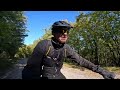
Circular tour to Slavnik (1028 m) – Primorski Triglav! Start from Kozina, sea views, wonderful panorama at the top, descent through autumn-colored landscape towards villages Skadanščina and Povžane and return to Kozina. 38.4 km and 969 meters of real touring bike enjoyment!
Video:
 1 1
|
|
|
|
| bagi29. 12. 2025 18:23:08 |
In search of sun we successfully spent the holidays on the Primorska coast . All sorts of conditions, from icy wind tossing us along the path, elsewhere almost spring-like temperatures. Common to all days was beautiful weather and little snow that didn't require any technical aids.
First we headed to Slavnik, this time from Hrpelje. We hadn't hiked from this starting point before, plus I routed the trail through the unknown Hrpeljska gora and later planina Jegno. Almost everywhere we followed the marks, just sometimes longer routes instead of shortcuts . The path was mostly macadam road, sometimes forest trails. Towards the summit snow appeared in the winter shade, but it didn't hinder progress. On southern slopes there was just a trace. Tumova hut was open and full of visitors. Prices are very friendly and many places could follow their example.
We descended past Prešnica and thus returned to the start via the other side of the ridge. Sun had already melted the ground on sunny slopes of the summit area and accordingly there was plenty of mud. Lower down it was better, as the ground was different and not soaked from snow. In the final part macadam followed again, which is plentiful in the Primorska hills anyway. But we're used to it and it doesn't bother us. After a good 4 km it brought us back to the start and the loop was closed. More in the photo story…
Coordinates of starting point (Hrpelje): 45.6049219N, 13.9461958E
 1 1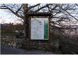 2 2 3 3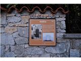 4 4 5 5 6 6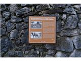 7 7 8 8 9 9 10 10 11 11 12 12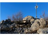 13 13 14 14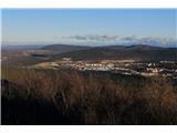 15 15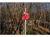 16 16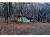 17 17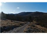 18 18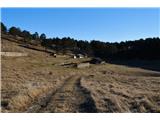 19 19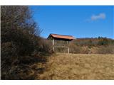 20 20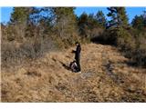 21 21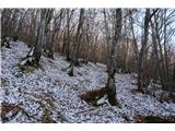 22 22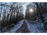 23 23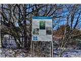 24 24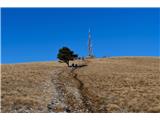 25 25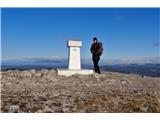 26 26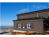 27 27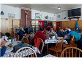 28 28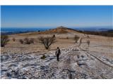 29 29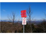 30 30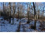 31 31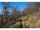 32 32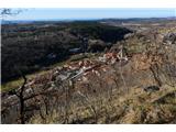 33 33 34 34 35 35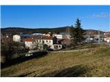 36 36 37 37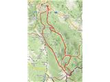 38 38
| (+5) | | |
|
|
|
You must log in to post a comment:
If you do not yet have a username, you must first
register.