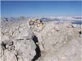
 | Vršič - Prisank / Prisojnik (Slovenian way)
Prisank (also known as Prisojnik) is a 2,547-meter-high mountain situated above the Mlinarica, Krnica, and Suha Pišnica valleys. From the summit,...
3 h 30 min |
| Erjavčeva koča na Vršiču - Prisank / Prisojnik (Slovenska pot)
Prisank (also known as Prisojnik) is a 2,547-meter-high mountain situated above the Mlinarica, Krnica, and Suha Pišnica valleys. From the summit,...
3 h 45 min |
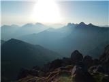 | Ljubelj - Loibler Baba/Košutica (via koča na Ljubelju)
Košutica (also known as Ljubeljska Baba) is a panoramic mountain north of the western ridge of Košuta. From the summit, marked by a small cross a...
2 h 45 min |
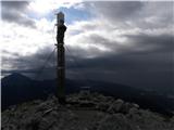 | Dom pod Storžičem - Storžič (via Škarjev rob)
Storžič is a 2132 m high mountain located in the western part of the Kamnik-Savinja Alps. From the summit, where there is a cross, a beautiful vi...
3 h 5 min |
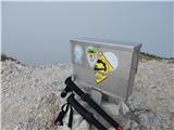 | Iličev rovt / Illitsch Rauth - Mittagskogel/Kepa (path 680)
Kepa (also Jepa, German: Mittagskogel) is a panoramic mountain in the western Karavanke, located on the border ridge between Slovenia and Austria...
3 h |
 | Planina Podvežak - Ojstrica (via Mala Ojstrica)
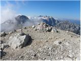
Ojstrica (2350 m) rightly bears its name its sharply pointed, almost perfect pyramidal silhouette is one of the most recognizable symbols of the...
3 h 30 min |
| Kraljev dol - Ojstrica (via Mala Ojstrica)
Ojstrica (2350 m) rightly bears its name its sharply pointed, almost perfect pyramidal silhouette is one of the most recognizable symbols of the...
3 h 45 min |
 | Dom na Gospincu - Vrh Korena (via Zvoh)
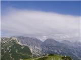
Vrh Korena is located between Zvoh and Kalški greben near the Krvavec ski resort. The summit offers a beautiful view of the highest peaks in the ...
2 h 40 min |
| Planina Jezerca - Vrh Korena (via Dom na Krvavcu)
Vrh Korena is located between Zvoh and Kalški greben near the Krvavec ski resort. The summit offers a beautiful view of the highest peaks in the ...
2 h 55 min |
 | Pod Krnico - Koschutnikturm (Košutnikov turn) (western way)
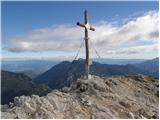
Košutnikov Turn is the highest peak in Košuta, the longest Slovenian ridge. The summit offers a beautiful view of the entire ridge. Austria and t...
2 h 15 min |
| Pod Krnico - Koschutnikturm (Košutnikov turn) (eastern way)
Košutnikov Turn is the highest peak in Košuta, the longest Slovenian ridge. The summit offers a beautiful view of the entire ridge. Austria and t...
2 h 30 min |
 | Planina Pungrat - Veliko Kladivo
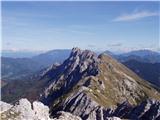
Veliko Kladivo is a 2094 m high peak in the longest Slovenian ridge, Košuta. From the summit, which has a register box and stamp, there is a very...
2 h 15 min |
 | Bodenbauer - Ovčji vrh (Kozjak) / Geissberg (Kosiak) (direct way)
Ovčji Vrh or Kozjak, known in German as Geissberg or Kosiak, is a 2024 m high peak located north of the main Karawanks ridge. Rising above Celovš...
3 h |
| Ogris - Ovčji vrh (Kozjak) / Geissberg (Kosiak) (direct way)
Ovčji Vrh or Kozjak, known in German as Geissberg or Kosiak, is a 2024 m high peak located north of the main Karawanks ridge. Rising above Celovš...
3 h |
| Bodenbauer - Ovčji vrh (Kozjak) / Geissberg (Kosiak) (via Klagenfurter Hütte)
Ovčji Vrh or Kozjak, known in German as Geissberg or Kosiak, is a 2024 m high peak located north of the main Karawanks ridge. Rising above Celovš...
3 h 15 min |
| Ogris - Ovčji vrh (Kozjak) / Geissberg (Kosiak) (via Klagenfurter Hütte)
Ovčji Vrh or Kozjak, known in German as Geissberg or Kosiak, is a 2024 m high peak located north of the main Karawanks ridge. Rising above Celovš...
3 h 15 min |
 | Bodenbauer - Bielschitza/Svačica
Svačica is a less prominent peak in the main ridge of the Karawanks. It lies between Vrtača and Stol, slightly offset to the north. The summit, m...
3 h 15 min |
| Ogris - Bielschitza/Svačica
Svačica is a less prominent peak in the main ridge of the Karawanks. It lies between Vrtača and Stol, slightly offset to the north. The summit, m...
3 h 15 min |
 | Rudnik v Topli - Petzen (Kordeschkopf) (Peca (Kordeževa glava))
Kordeževa glava, better known as Peca, is the highest peak of the Peca range. It is located on the border with Austria above the Mežiška dolina v...
3 h 20 min |
 | Podolševa (Rogar) - Govca (Olševa) (direct way)
Govca is the highest peak of the Olševa range, rising above Koprivna, Solčava, and Remšenik (Remšenik/Remschenig is a valley on the Austrian side...
2 h 10 min |
 | Podolševa (Sveti Duh, Strevc) - Govca (Olševa) (via Obel kamen)
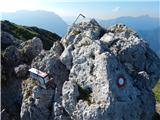
Govca is the highest peak of the Olševa range, rising above Koprivna, Solčava, and Remšenik (Remšenik/Remschenig is a valley on the Austrian side...
2 h 30 min |
| Podolševa (Sveti Duh, Strevc) - Govca (Olševa)
Govca is the highest peak of the Olševa range, rising above Koprivna, Solčava, and Remšenik (Remšenik/Remschenig is a valley on the Austrian side...
2 h 15 min |
| Podolševa (Rogar) - Govca (Olševa) (via Obel kamen)
Govca is the highest peak of the Olševa range, rising above Koprivna, Solčava, and Remšenik (Remšenik/Remschenig is a valley on the Austrian side...
2 h 25 min |
 | Göriach - Scharnock
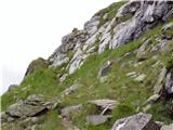
Scharnock is a panoramic peak located in the Schladminger Tauern group. From the summit, where a cross stands, there is a nice view of the surrou...
3 h 30 min |
 | Plockenpass - Monte Floriz
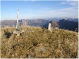
Monte Floriz is a 2,184 m high grassy peak located south of the Marinelli hut. From the summit there is a very nice view of the Coglians group; i...
3 h |
 | Sella Nevea - Monte Bila pec
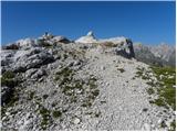
Bela peč (Italian: Monte Bila pec) is a 2,146-meter-high mountain located north of the main Kanin ridge. From the summit, which has a logbook box...
2 h 45 min |
 | Planina Zapleč - Krnčica
Krnčica is a peak in the undulating ridge stretching from Bovec to Krn. It is actually Krn's northwestern ridge. It is comfortably accessible alo...
2 h 40 min |
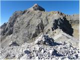 | Ristorante Pietofana - Cima Formenton
Cima Formenton is a 2,830-meter-high peak in the Tofana group. The mountain lies north of the better-known Tofana di Dentro, with an unmarked tra...
3 h 40 min |
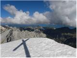 | Rifugio Ra Stua - Croda del Beco / Seekofel
Croda del Beco (German: Seekofel, Ladin: Sass dla Porta) is a 2,810-meter-high mountain that rises steeply above Lago di Braies (Pragser Wildsee)...
3 h 35 min |
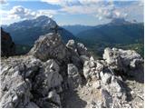 | Fiames - Punta Fiames
Punta Fiames is a 2,240-meter-high peak located north of Cortina d'Ampezzo. The mountain is popular mainly among fans of via ferrata routes, as a...
3 h 30 min |
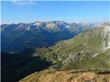 | Obertauern - Gamsleitenspitze (via Zehnerkar Sattel)
Gamsleitenspitze is a 2359-meter-high mountain in the Radstädter Tauern mountain group. From the summit, located above the Obertauern ski center,...
2 h 30 min |
 | Obertauern - Zehnerkarspitze
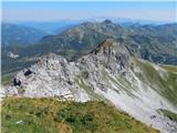
Zehnerkarspitze is a 2382-meter-high peak in the Radstädter Tauern group. The summit lies west of Obertauern pass above the ski center. From the ...
2 h 10 min |
 | Coot Parking Lot - Velika Baba (Kanin) (over Zg. Brda and saddle Med Baban)
Velika Baba is the southernmost two-thousander of the Kanin mountains. It is separated from the main ridge to the north by the saddle Med Baban, ...
3 h 15 min |
 | Bergheimat - Dachskofel (via Scharnik)
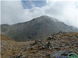
Dachskofel is a 2,373 m high mountain in Austria's Hohe Tauern above the town of Irschen and near Lamnitzsee. A wooden cross stands on the summit...
3 h 50 min |
 | Podolševa (Sveti Duh, Strevc) - Obel kamen (Olševa) (east path)
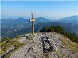
Obel kamen is a 1,911-meter-high peak located in the ridge of Olševa. On the summit is a border stone marked RS XXII 1; a cross and summit logboo...
2 h 15 min |
| Podolševa (Rogar) - Obel kamen (Olševa) (east path)
Obel kamen is a 1,911-meter-high peak located in the ridge of Olševa. On the summit is a border stone marked RS XXII 1; a cross and summit logboo...
2 h 10 min |
| Spodnje Sleme - Obel kamen (Olševa)
Obel kamen is a 1,911-meter-high peak located in the ridge of Olševa. On the summit is a border stone marked RS XXII 1; a cross and summit logboo...
3 h 30 min |
 | Saddle Sedlo - Bobotov kuk
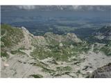
Bobotov kuk is the highest peak of Durmitor. There are several routes to it. The southern approaches are the shortest, the eastern ones the longe...
3 h |
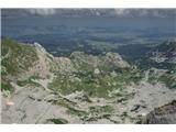 | Dolina Dobri do - Bobotov kuk
Bobotov kuk is the highest peak of Durmitor. There are several routes to it. The southern approaches are the shortest, the eastern ones the longe...
2 h 45 min |
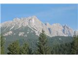 | Passo di Sant'Antonio - Monte Aiarnola (via normale)
Monte Aiarnola is a mountain at the far eastern end of the Sexten Dolomites group. From it there is a nice view towards the western Carnic Alps, ...
3 h 30 min |
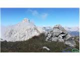 | Cima Sappada - Creton di Tul
Creton di Tul is a 2,288-metre mountain in the Pesarina Dolomites group of the Carnic Alps in Italy, south of Sappada and west of the neighbourin...
3 h 30 min |
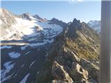 | Oberissalm - Vordere Sommerwand (normal path)
Sommerwand is a relatively long ridge rising as a massive rocky barrier above the upper part of the Oberbergtal valley, concealing from valley vi...
2 h 40 min |
 | Sella di Razzo - Clapsavon (via 210 & 212)
Clapsavon is a 2,462-meter-high mountain in the Carnic Alps in Italy. It lies about an hour's walk west of the 2,474-meter-high Bivera. Both peak...
3 h |
 | Planina Zapleč - Srednji vrh (at Krn)
Srednji vrh is a 2134-meter-high peak located in the ridge between Krn and Krnčica. A marked path leads to the summit, which offers very nice vie...
3 h 10 min |